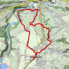
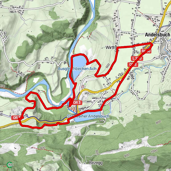
Dati percorsi
7,18km
552
- 663m
102hm
117hm
00:43h
- Descrizione rapida
-
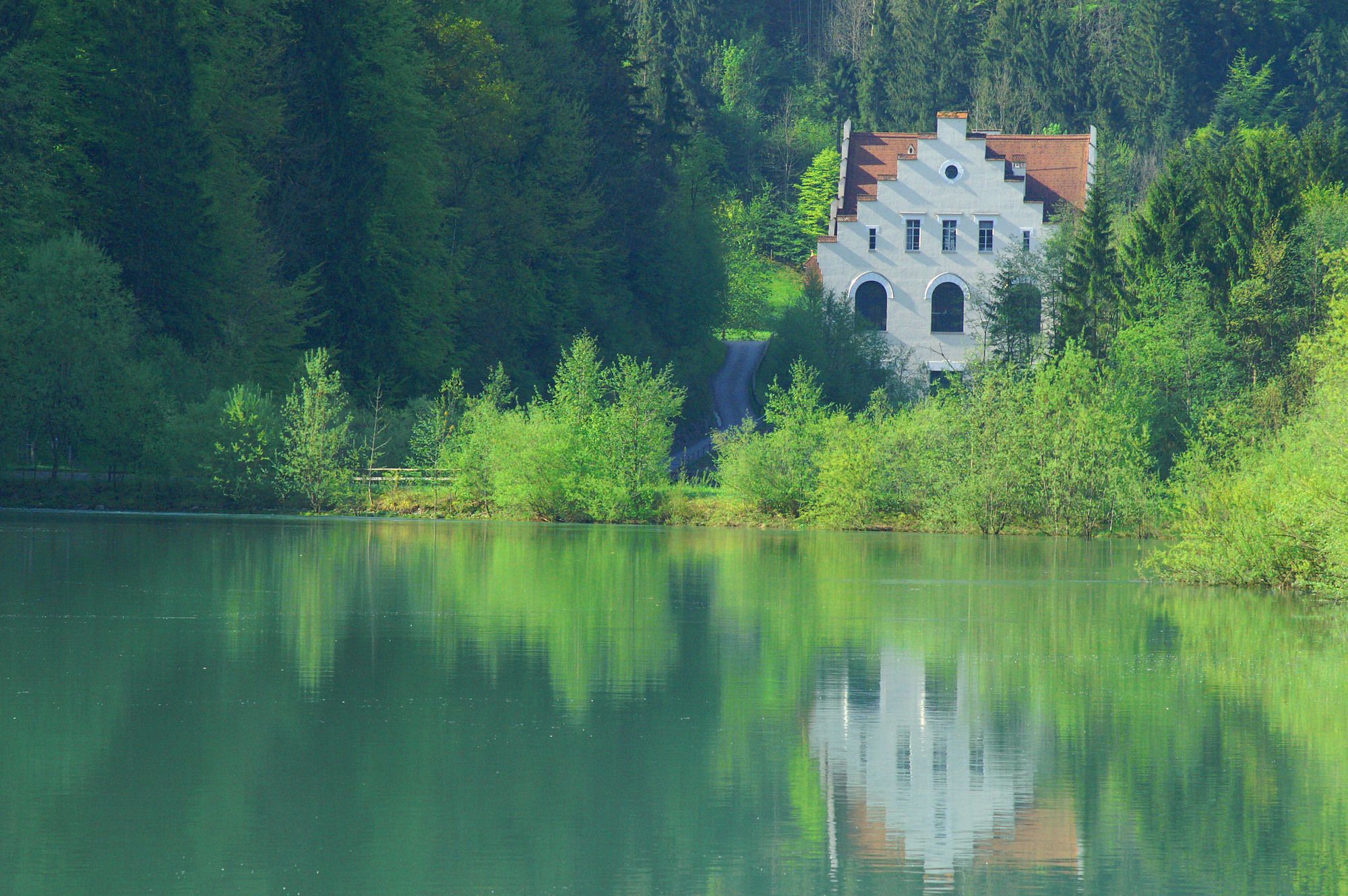
Landschaftlich reizvolle Runde zum Ach-Stausee und zur Bregenzerache
- Difficoltà
-
facile
- Valutazione
-
- Punto di partenza
-
"bahnhof andelsbuch" gegenüber dem Gemeindeamt Andelsbuch
- Percorso
-
AndelsbuchUnterbezegg1,0 kmBersbuch (634 m)2,6 kmPizzeria La Montanara7,1 kmAndelsbuch7,1 km
- La stagione migliore
-
genfebmaraprmaggiulugagosetottnovdic
- Punto più alto
- 663 m
- Destinazione
-
=Ausgangspunkt
- Riposo/Ritiro
-
Gastgarten Tanna oder verschiedene Gastronomie im Ortszentrum
GPS Downloads


Altri tour nelle regioni
-
St. Gallen - Bodensee
64
-
Bregenzerwald
43
-
Andelsbuch
28