© Landkreis Lindau (Bodensee) - Moritz Kertzscher

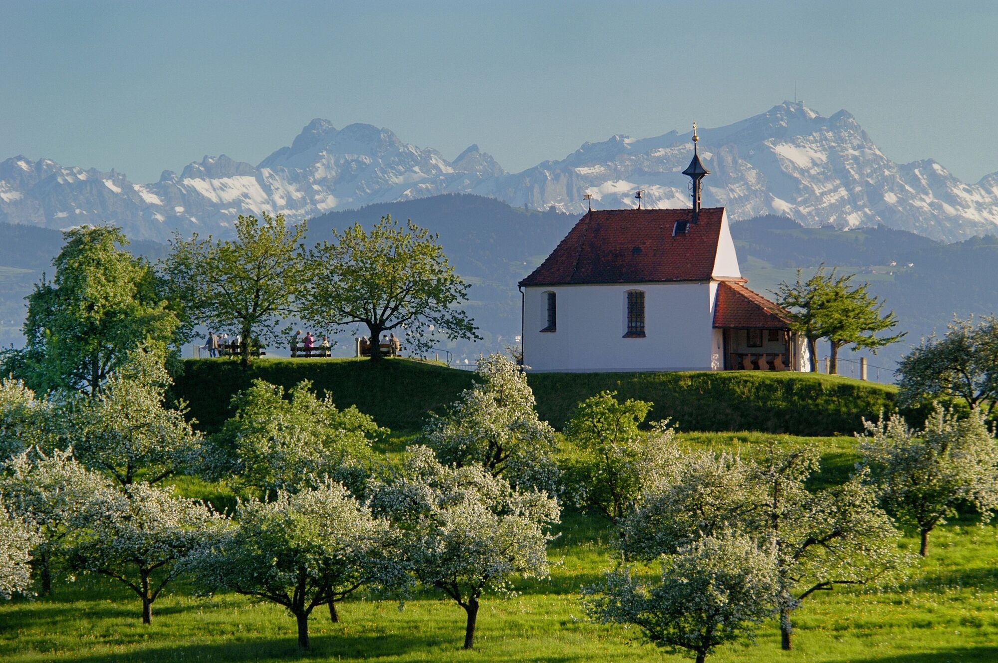
© R. Böcher - Gemeinde Nonnenhorn

© Tourist-Information Wasserburg - Landratsamt Lindau (Bodensee)

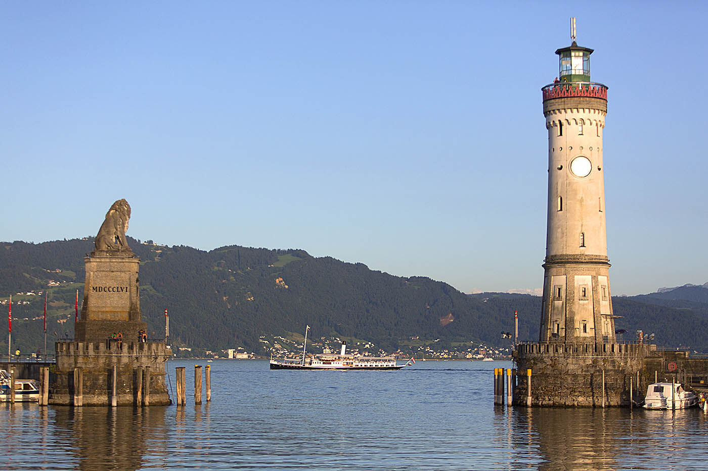
© Lindau Tourismus - Achim Mende
")
- Descrizione rapida
-
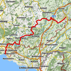
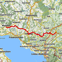
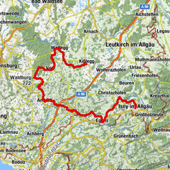
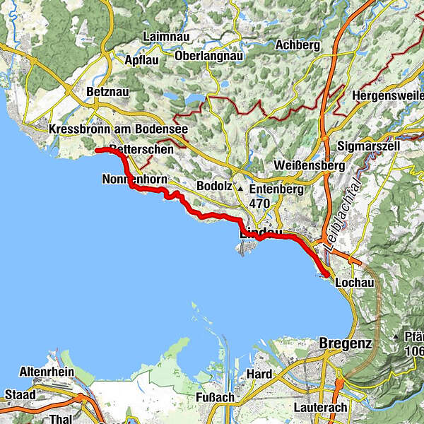
Die als „Rheinroute“ bekannte und insgesamt 1324 km lange Route D8 begleitet den Fluss von seinen Ursprüngen im schweizerischen Gotthard-Massiv über Österreich, Frankreich und Deutschland bis in die Niederlande. Dabei passieren wir die malerische Kulturlandschaft des Bodensees und genießen die facettenreiche Natur.
- Difficoltà
-
intermedio
- Valutazione
-
- Percorso
-
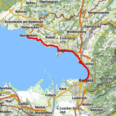
Unterhochsteg0,3 kmZech0,6 kmReutin3,1 kmLindau (Bodensee) (401 m)3,9 kmSt. Leonhard6,6 kmBad Schachen6,7 kmEbnet7,1 kmSchwand7,6 kmJakobus-Kapelle7,9 kmWilhelmshöhe7,9 kmReutenen8,1 kmWasserburg - Bodensee9,5 kmNonnenhorn12,0 km
- La stagione migliore
-
genfebmaraprmaggiulugagosetottnovdic
- Punto più alto
- 415 m
- Destinazione
-
Kressbronn
- Profilo altimetrico
-


- Autore
-
Il tour Deutschland-Route D8 FRW è utilizzato da outdooractive.com fornito.
GPS Downloads


Info generali
Punto di ristoro
Altri tour nelle regioni