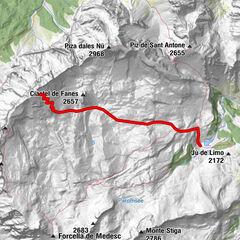
Dati percorsi
11,51km
2.058
- 2.819m
1.168hm
1.185hm
03:52h
- Difficoltà
-
intermedio
- Valutazione
-
- Percorso
-
Strobel0,0 kmQuelle9,1 kmQuelle9,2 kmStrobel11,5 km
- La stagione migliore
-
agosetottnovdicgenfebmaraprmaggiulug
- Punto più alto
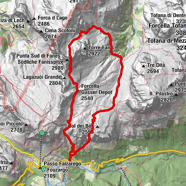
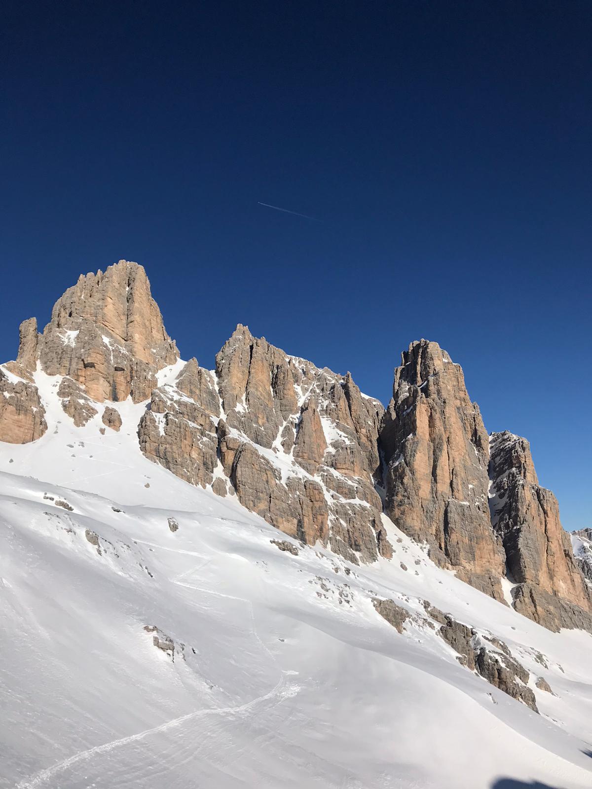
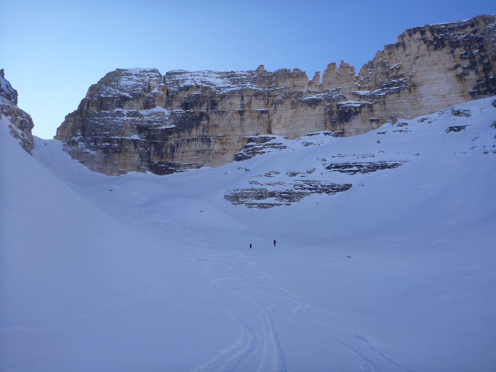
- Cadin di Fanis (2.819 m)
GPS Downloads


Altri tour nelle regioni