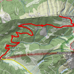
© Naturparkregion Reutte - Stefanie Pauli

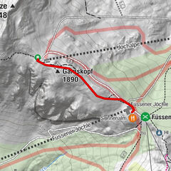
© Naturparkregion Reutte - Ramona Sprenger
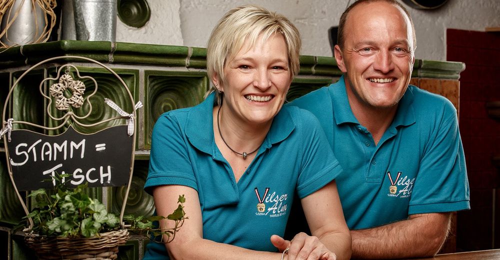
© Naturparkregion Reutte - Ramona Sprenger

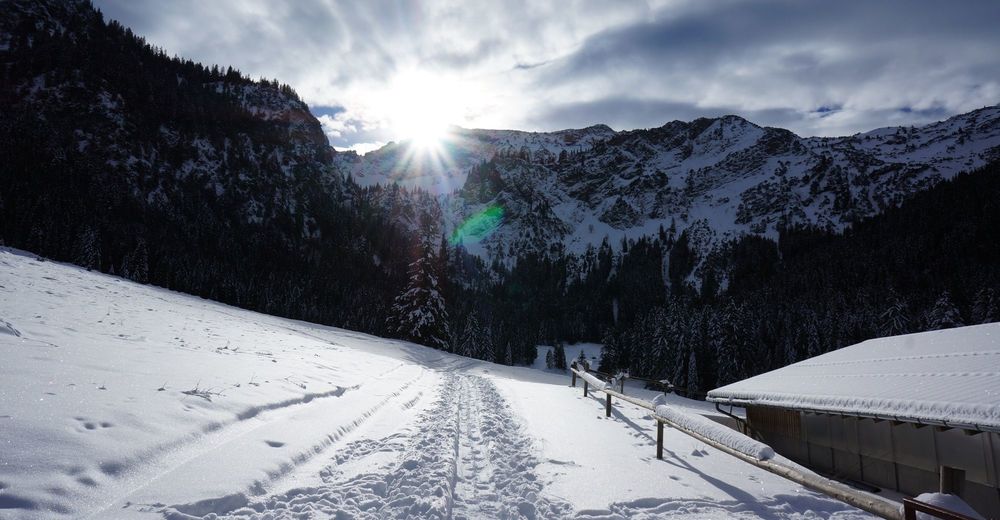
© Naturparkregion Reutte - Stefanie Pauli
- Descrizione rapida
-
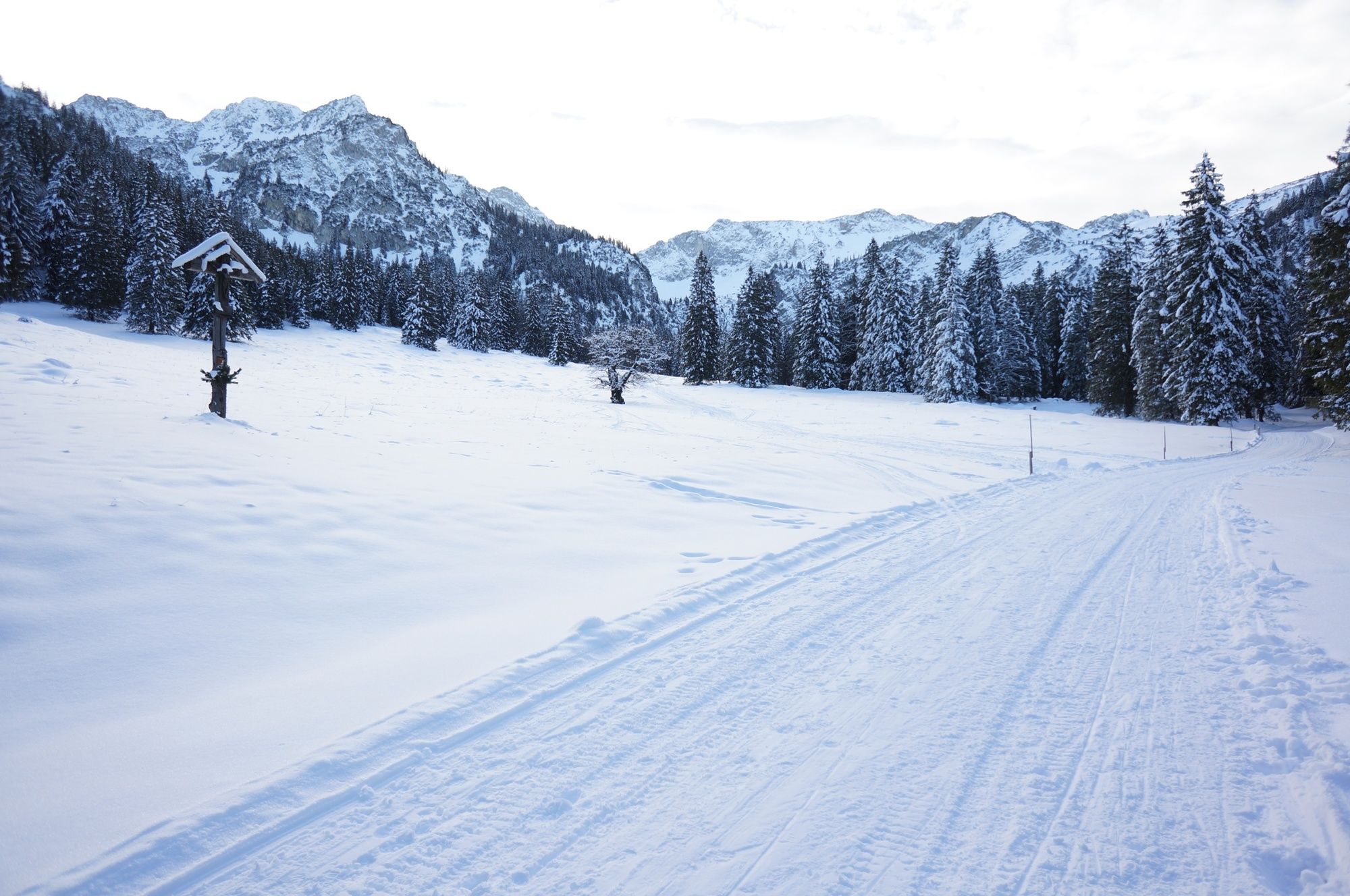
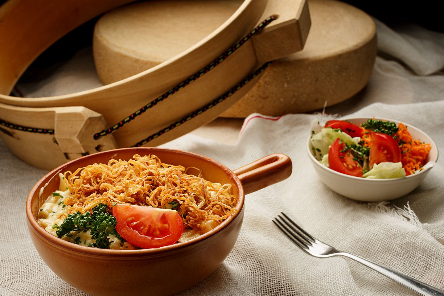
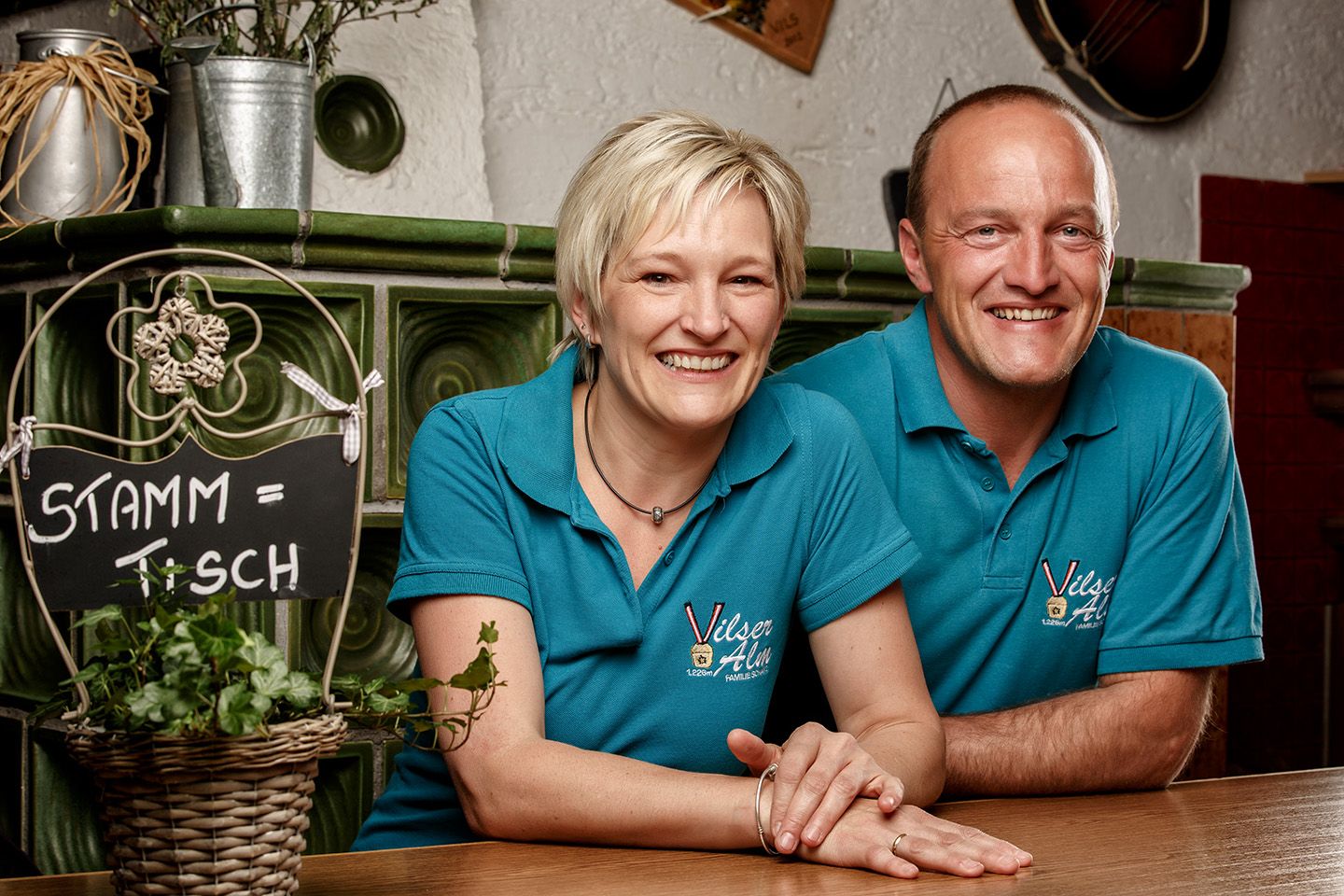
Tankstelle für Leib und Seele
„Kraft tanken und bewusst genießen“, besser könnten die Qualitäten der Vilser Alm wohl kaum in Worte gefasst werden.
- Difficoltà
-
intermedio
- Valutazione
-
- Percorso
-
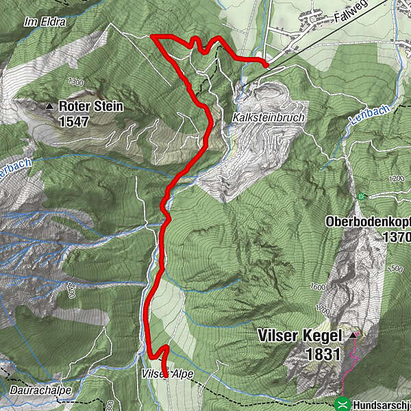
Alpstrudelfall (1.106 m)2,3 kmVilser Alm3,5 kmGeopfad 173,6 km
- La stagione migliore
-
agosetottnovdicgenfebmaraprmaggiulug
- Punto più alto
- 1.223 m
- Destinazione
-
Vilser Alm
- Profilo altimetrico
-


- Autore
-
Il tour Vilser Alm è utilizzato da outdooractive.com fornito.
GPS Downloads


Info generali
Punto di ristoro
Flora
Fauna
Promettente
Altri tour nelle regioni
-
Allgäu
167
-
Tannheimer Tal
131
-
Vils
87