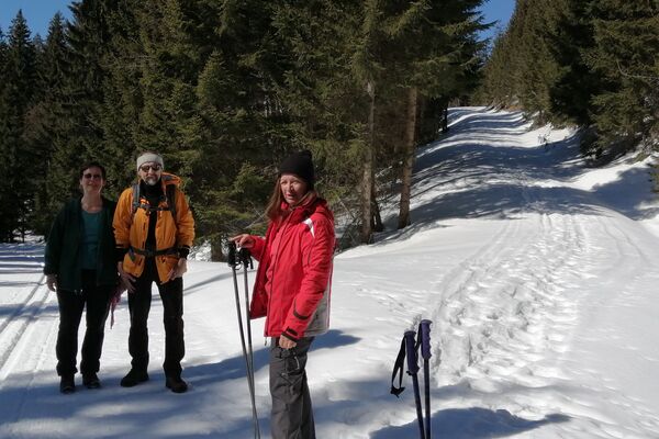
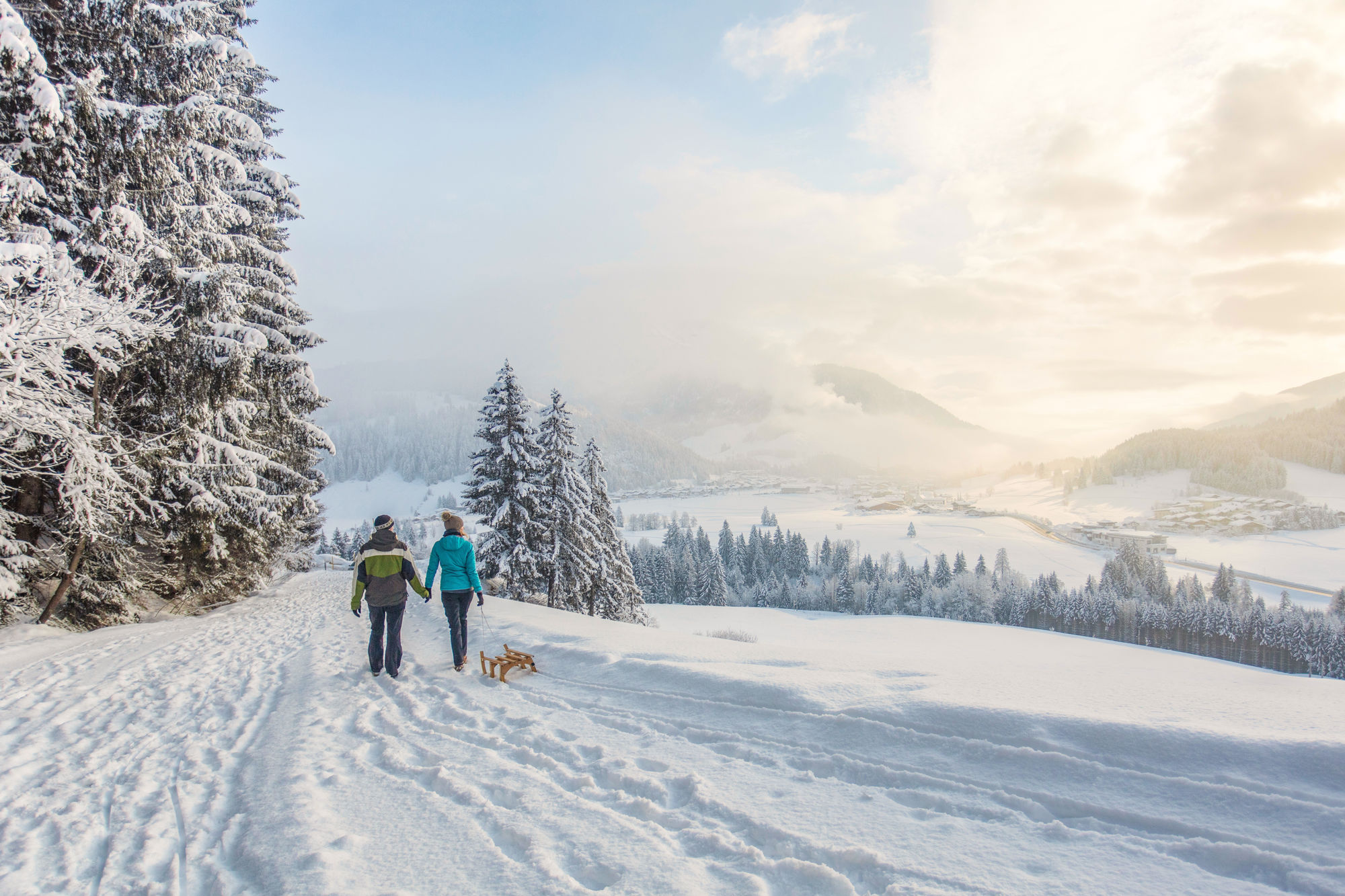
Winterwanderung Waidring Dorf - Strub

Escursioni invernali

© Defrancesco
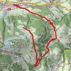
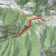
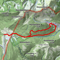
Dati percorsi
9,21km
746
- 775m
21hm
20hm
03:00h

- Difficoltà
-
facile
- Valutazione
-
- Punto di partenza
-
Centre of Waidring
- Percorso
-
WaidringWaidring9,1 km
- La stagione migliore
-
agosetottnovdicgenfebmaraprmaggiulug
- Punto più alto
- 775 m
- Destinazione
-
Centre of Waidring
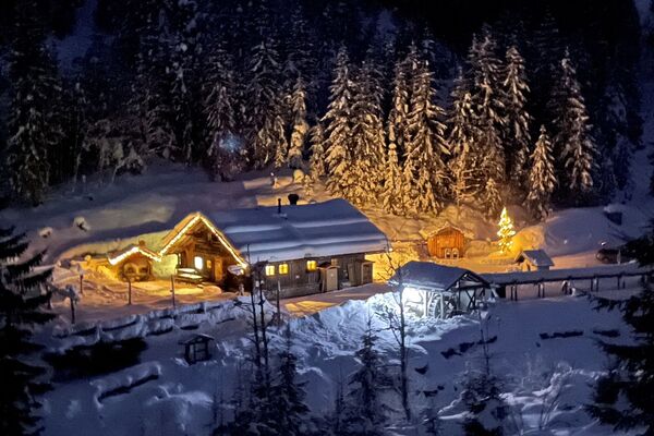
- Riposo/Ritiro
-
Gasthof Strub
- Cartine
-
Hiking map are available in all touristoffice´s of the PillerseeTal
- Telefono informazioni
-
0043.5354.56304
- Link
- https://maps.pillerseetal.at/v2/de/gdi_summer/2...
- Fonte
- TVB PillerseeTal
GPS Downloads


Altri tour nelle regioni
-
Pillerseetal
185
-
Waidring
37