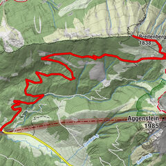
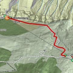
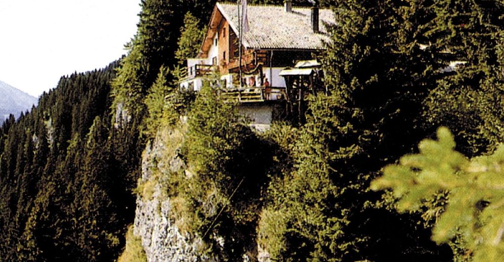
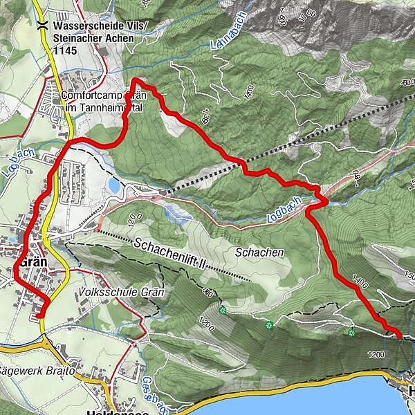
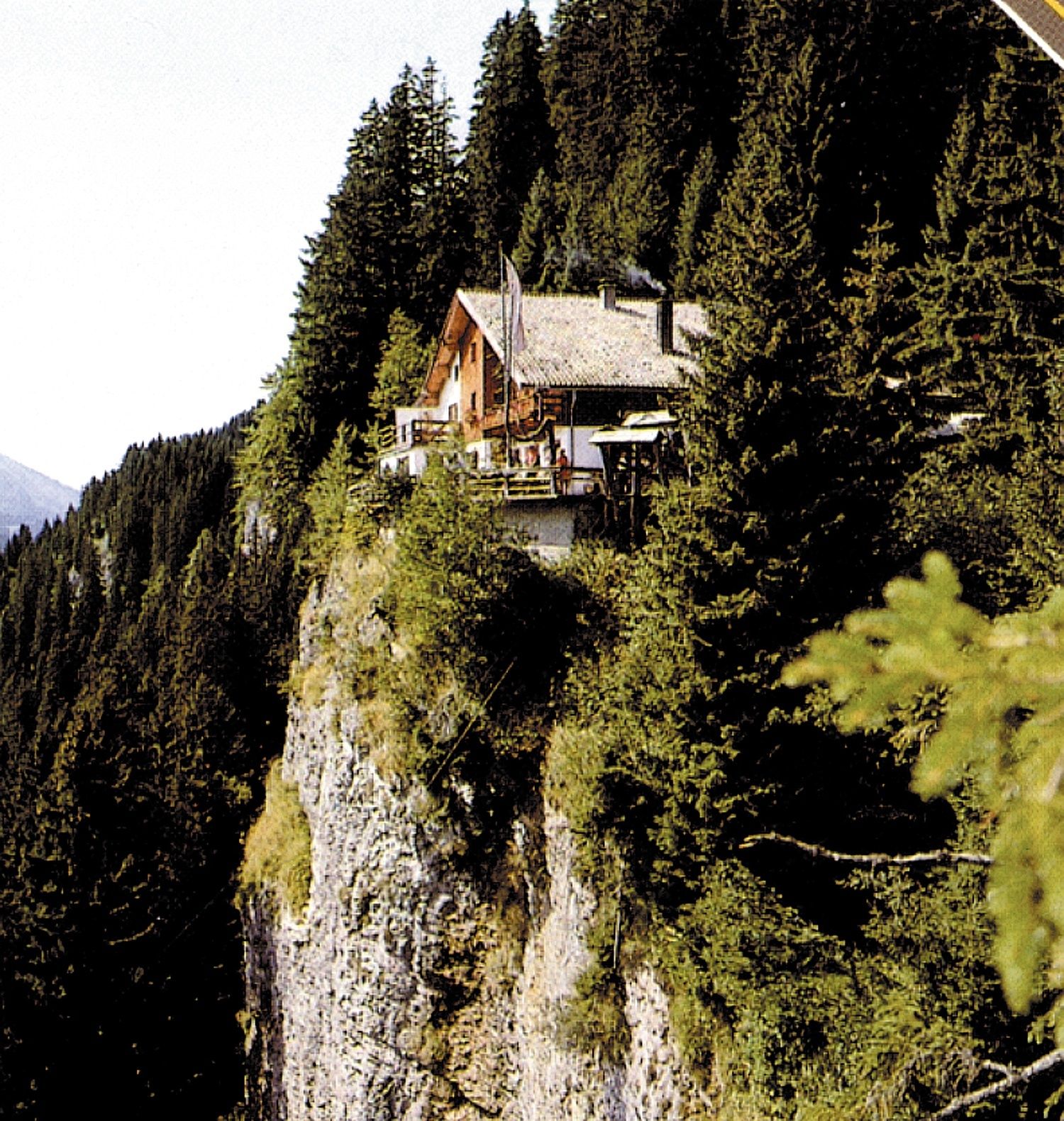
Grän-Adlerhorst (eagle#s nest) (not cleared)

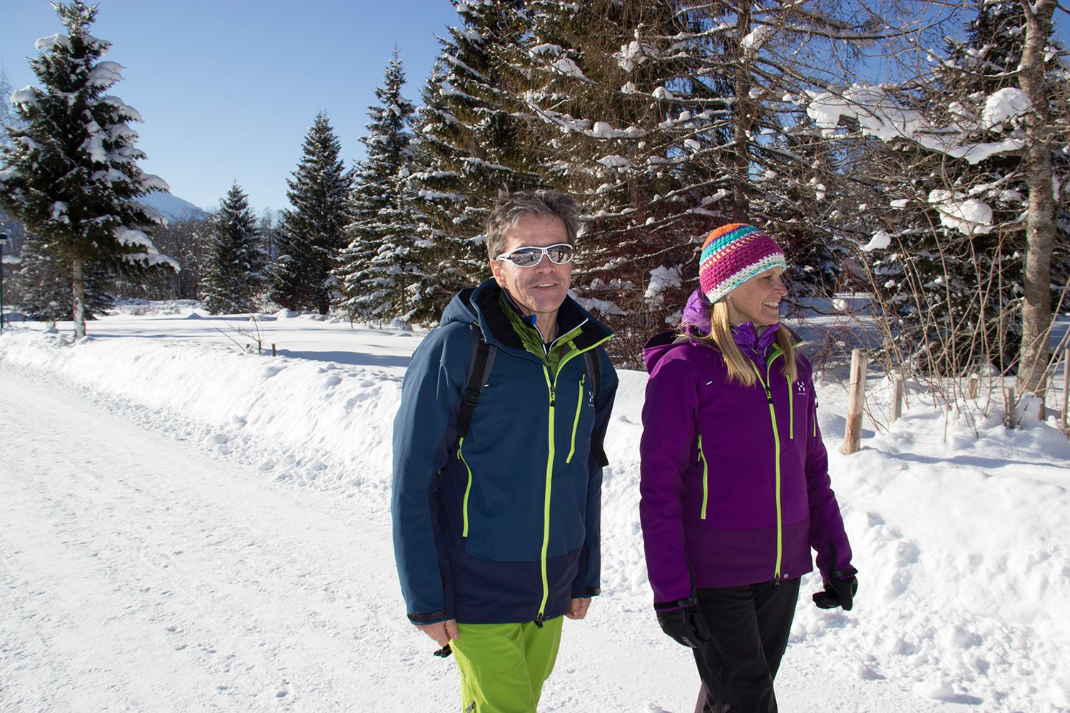
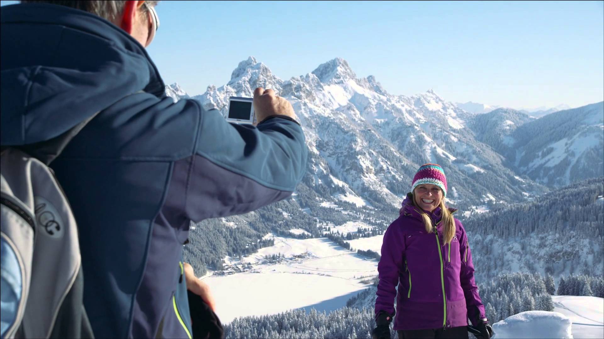
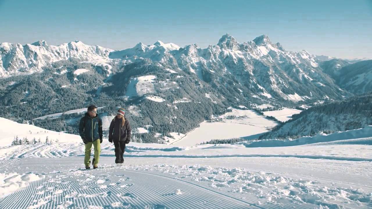
Escursioni invernali

© Tannheimer Tal - TVB Tannheimer Tal
© Tannheimer Tal - Michael Keller

© Ferienregion Tannheimer Tal

© Ferienregion Tannheimer Tal
- Descrizione rapida
-
From the centre of Grän, via the district Neu-Grän to Adlerhorst
- Difficoltà
-
intermedio
- Valutazione
-
- Percorso
-
Grän (1.138 m)0,5 kmSt. Nepomuk-Kapelle1,3 kmHaller4,8 km
- La stagione migliore
-
agosetottnovdicgenfebmaraprmaggiulug
- Punto più alto
- 1.384 m
- Destinazione
-
Gasthof Adlerhorst
- Profilo altimetrico
-

- Autore
-
Il tour Grän-Adlerhorst (eagle#s nest) (not cleared) è utilizzato da outdooractive.com fornito.
GPS Downloads


Info generali
Punto di ristoro
Promettente
Altri tour nelle regioni
-
Allgäu
167
-
Tannheimer Tal
131
-
Grän-Haldensee - Füssener Jöchle
66