
- Descrizione rapida
-
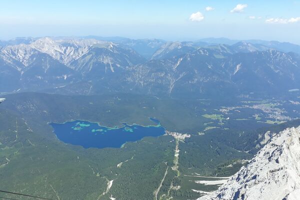
Genießen Sie eine leichte Rundwanderung auf dem aussichtsreichen Panoramaweg.
- Percorso
-
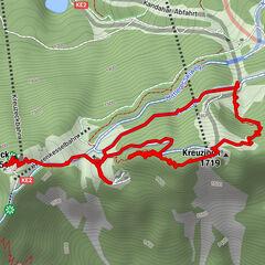
Reith bei Seefeld (1.120 m)0,0 kmLus-Mähder1,7 kmHölltal2,3 kmKaiserstand3,7 kmHölltal5,1 kmFrau Häusl Kapelle5,6 kmHotel Reitherhof6,2 kmPfarrkirche Hl. Nikolaus6,3 kmReith bei Seefeld (1.130 m)6,4 kmReith bei Seefeld (1.120 m)6,7 km
- Punto più alto
- 1.311 m
- Destinazione
-
Reith Bahnhof
- Profilo altimetrico
-

- Autore
-
Il tour Rundwanderung Panoramaweg è utilizzato da outdooractive.com fornito.
GPS Downloads


Altri tour nelle regioni