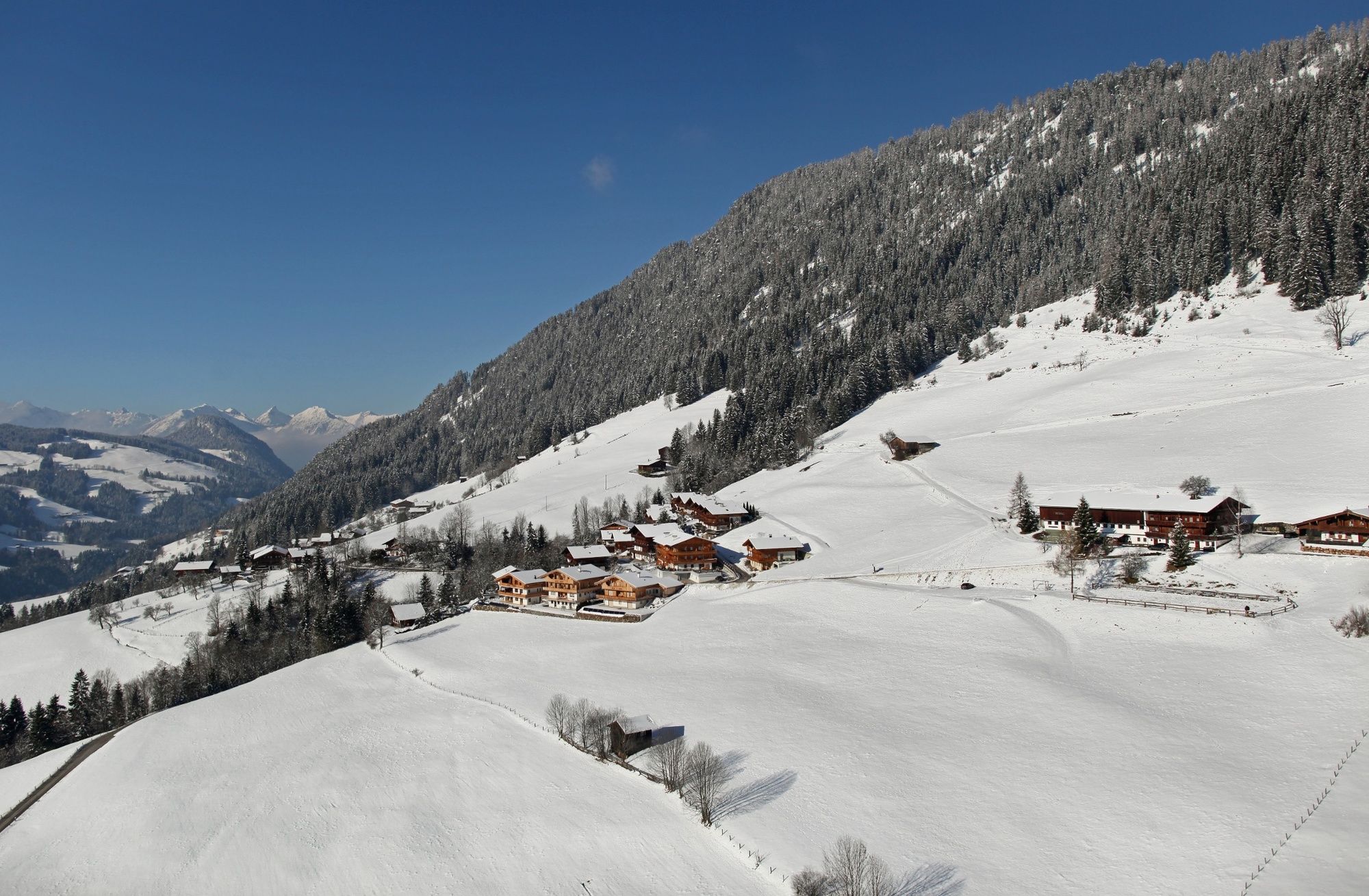
Oberer Höhenweg Alpbach - Inneralpbach

Escursioni invernali
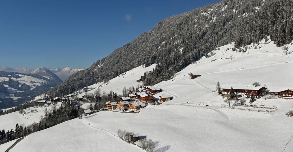
© Alpbachtal - Simon Oberleiter

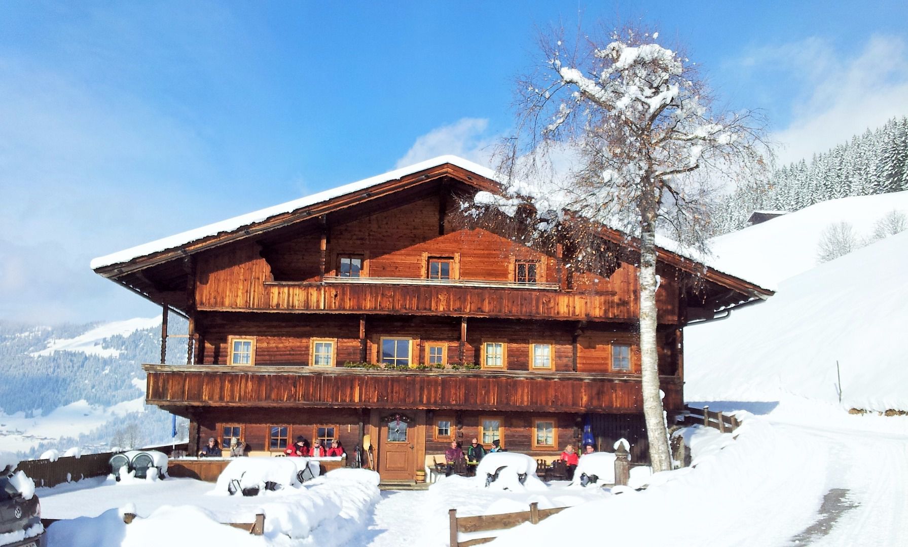
© Alpengasthof Rossmoos

© Alpbachtal - Claudia Ager


© Alpbachtal - Shoot and Style Sautner

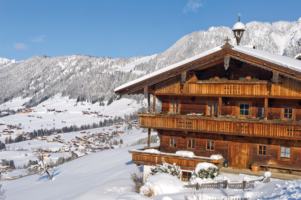
© Alpbachtal - Matthias Sedlak

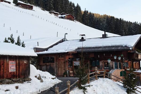
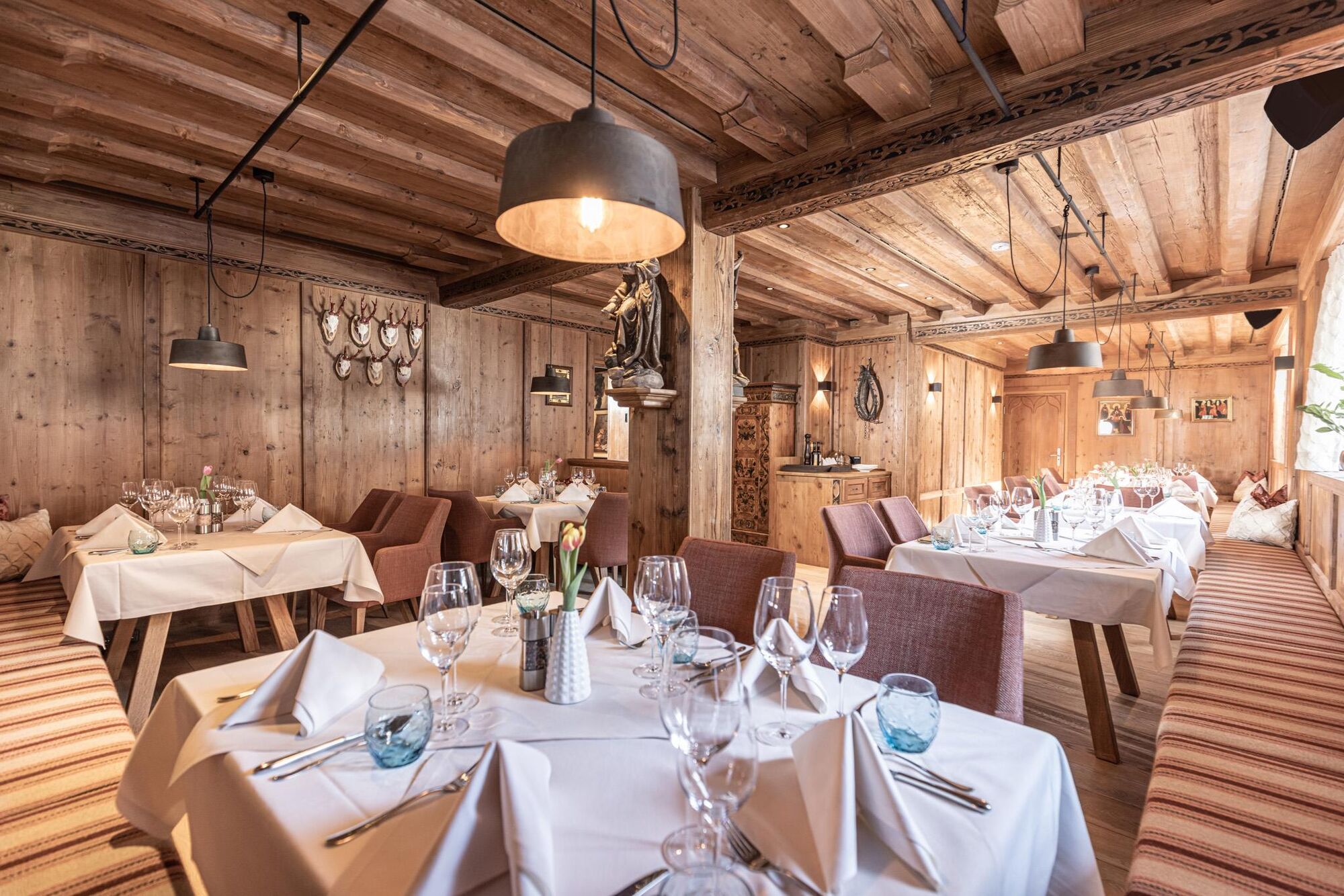
© Connys Original Tiroler Wirtshaus


- Descrizione rapida
-
Hike with great views and nice places to stop for a bite to eat and something to drink.
- Difficoltà
-
facile
- Valutazione
-
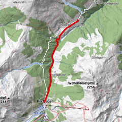
- Percorso
-
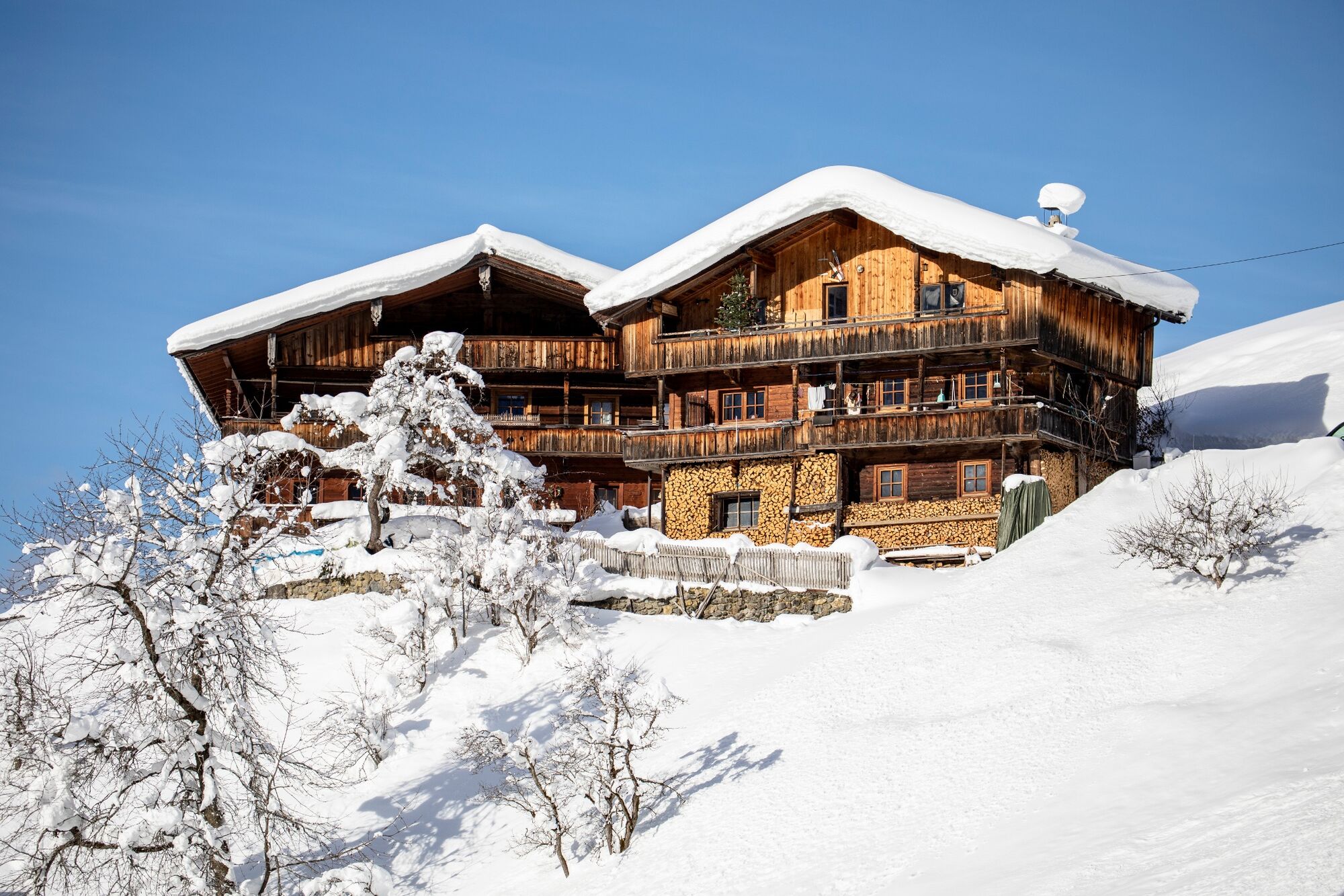
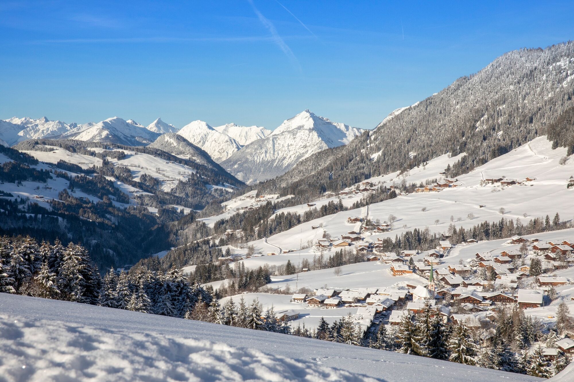
Alpbach (975 m)0,0 kmPfarrkirche Alpbach0,1 kmHeiligenkasten0,1 kmRossmooskapelle2,3 kmAlpengasthof Roßmoos2,3 kmKreuz4,6 kmBuamkapelle5,9 kmConny Tiroler Wirtshaus6,8 kmInneralpbach6,8 km
- La stagione migliore
-
agosetottnovdicgenfebmaraprmaggiulug
- Punto più alto
- 1.249 m
- Destinazione
-
Alpbach
- Profilo altimetrico
-


- Autore
-
Il tour Oberer Höhenweg Alpbach - Inneralpbach è utilizzato da outdooractive.com fornito.
GPS Downloads


Info generali
Punto di ristoro
Altri tour nelle regioni
-
Alpbachtal
94
-
Alpbach
37