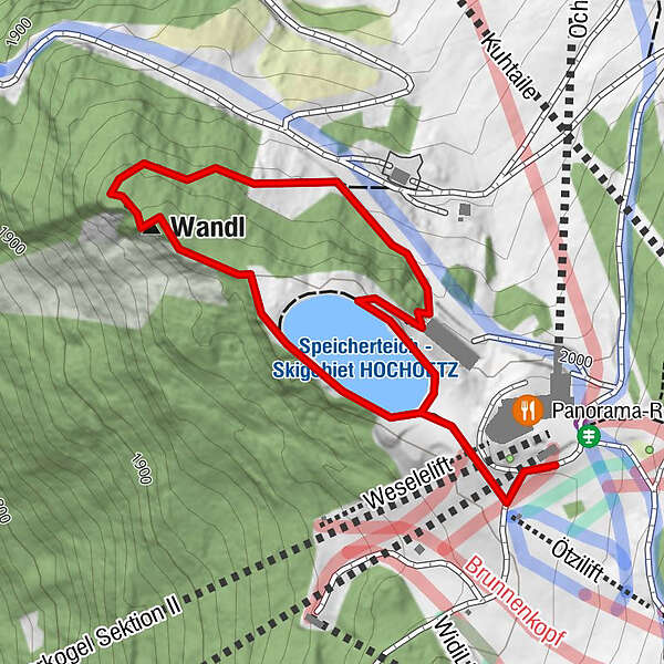
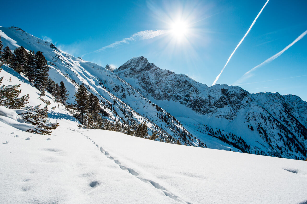
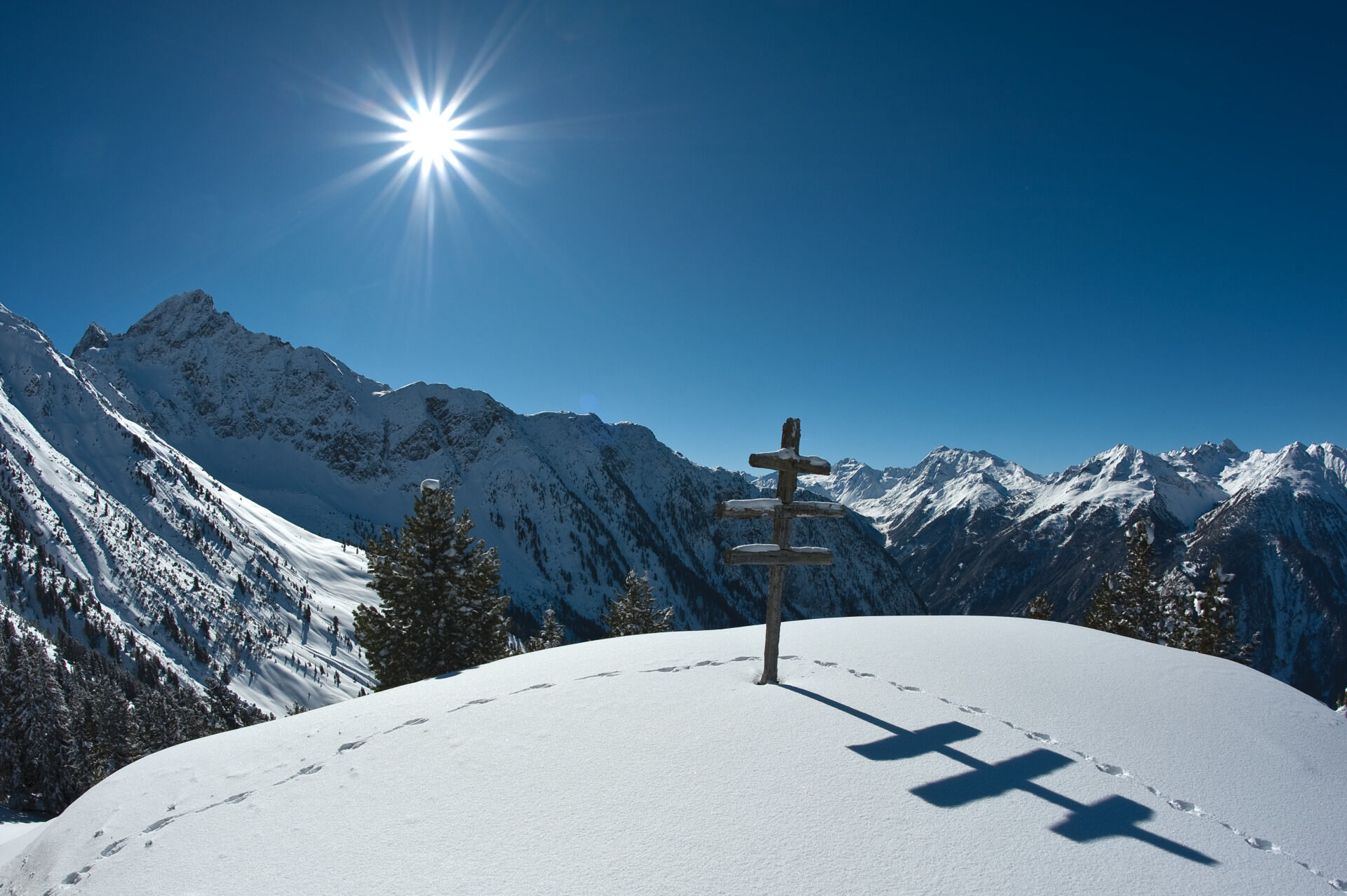
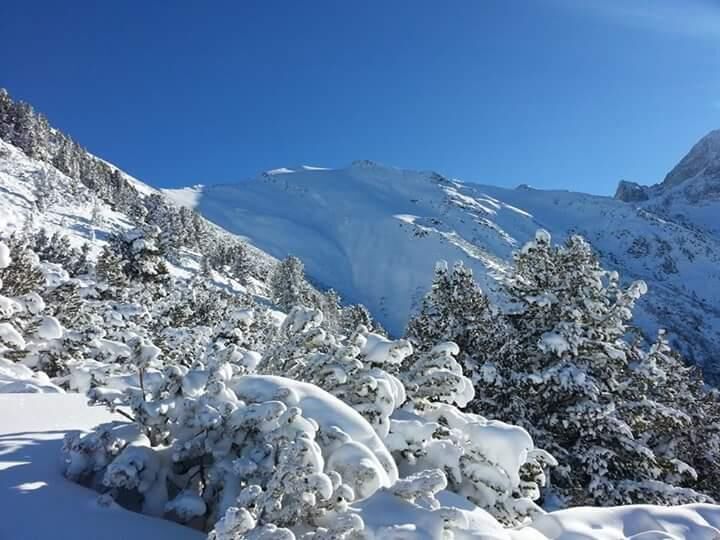
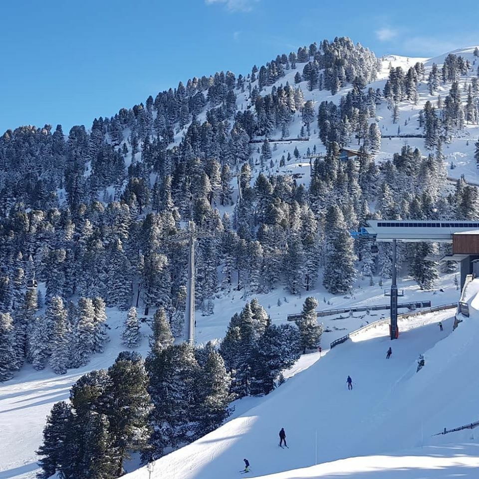
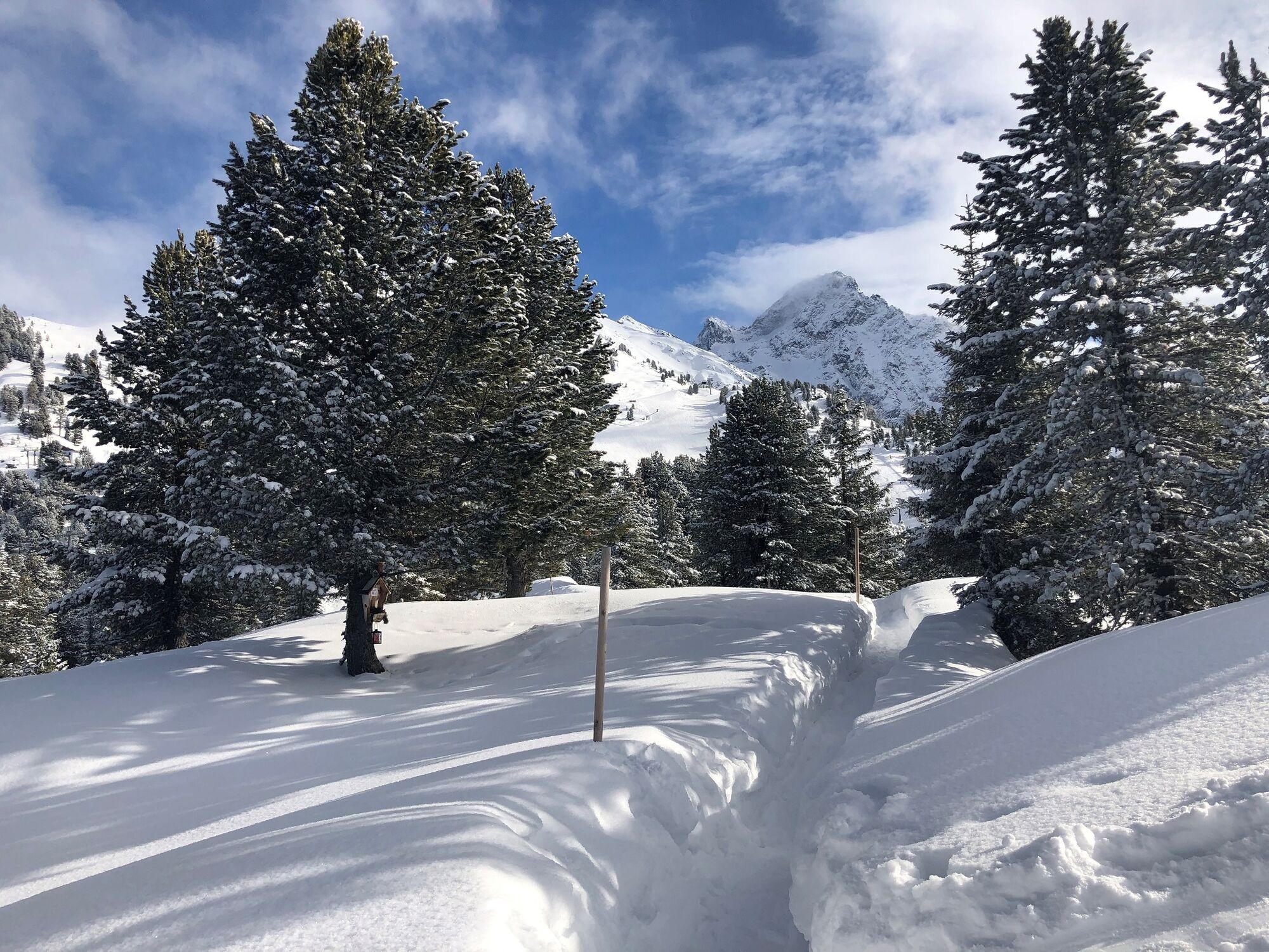
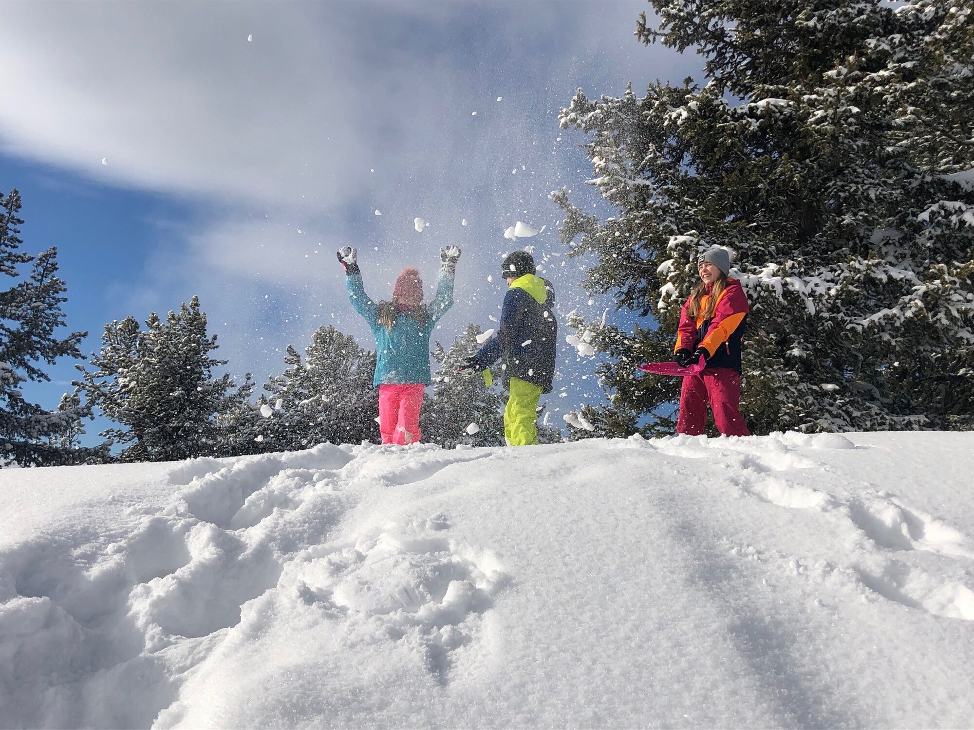
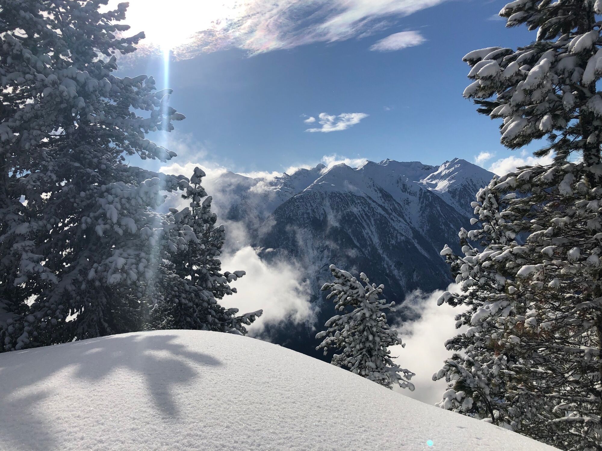
Winter hiking trail to Rotes Wandl vantage point

Escursioni invernali


- Descrizione rapida
-
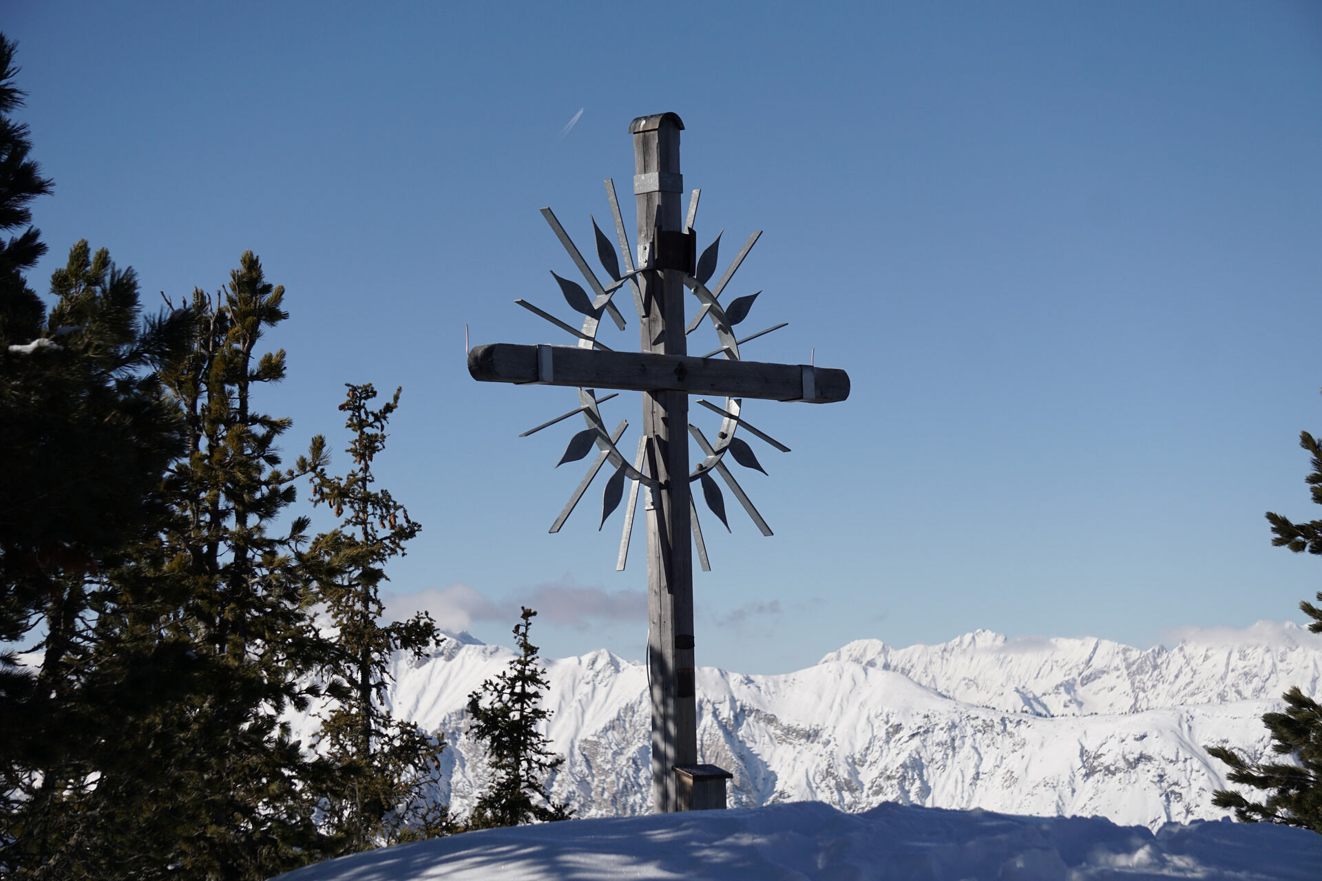
PANORAMARESTAURANT HOCHOETZ - Rotes Wandl - PANORAMARESTAURANT HOCHOETZ
- Difficoltà
-
facile
- Valutazione
-
- Percorso
-
Wandl0,5 km
- La stagione migliore
-
agosetottnovdicgenfebmaraprmaggiulug
- Punto più alto
- 2.008 m
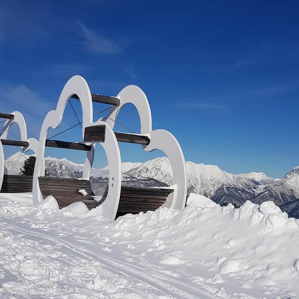
- Destinazione
-
Panoramarestaurant Hochoetz
- Profilo altimetrico
-


- Autore
-
Il tour Winter hiking trail to Rotes Wandl vantage point è utilizzato da outdooractive.com fornito.
GPS Downloads


Info generali
Punto di ristoro
Promettente
Altri tour nelle regioni
-
Mieminger Plateau & Inntal
148
-
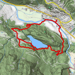
Oetz
44