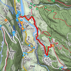
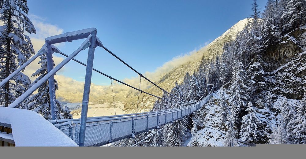
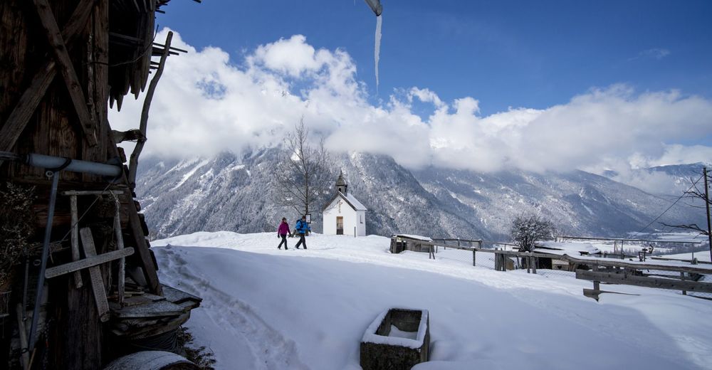
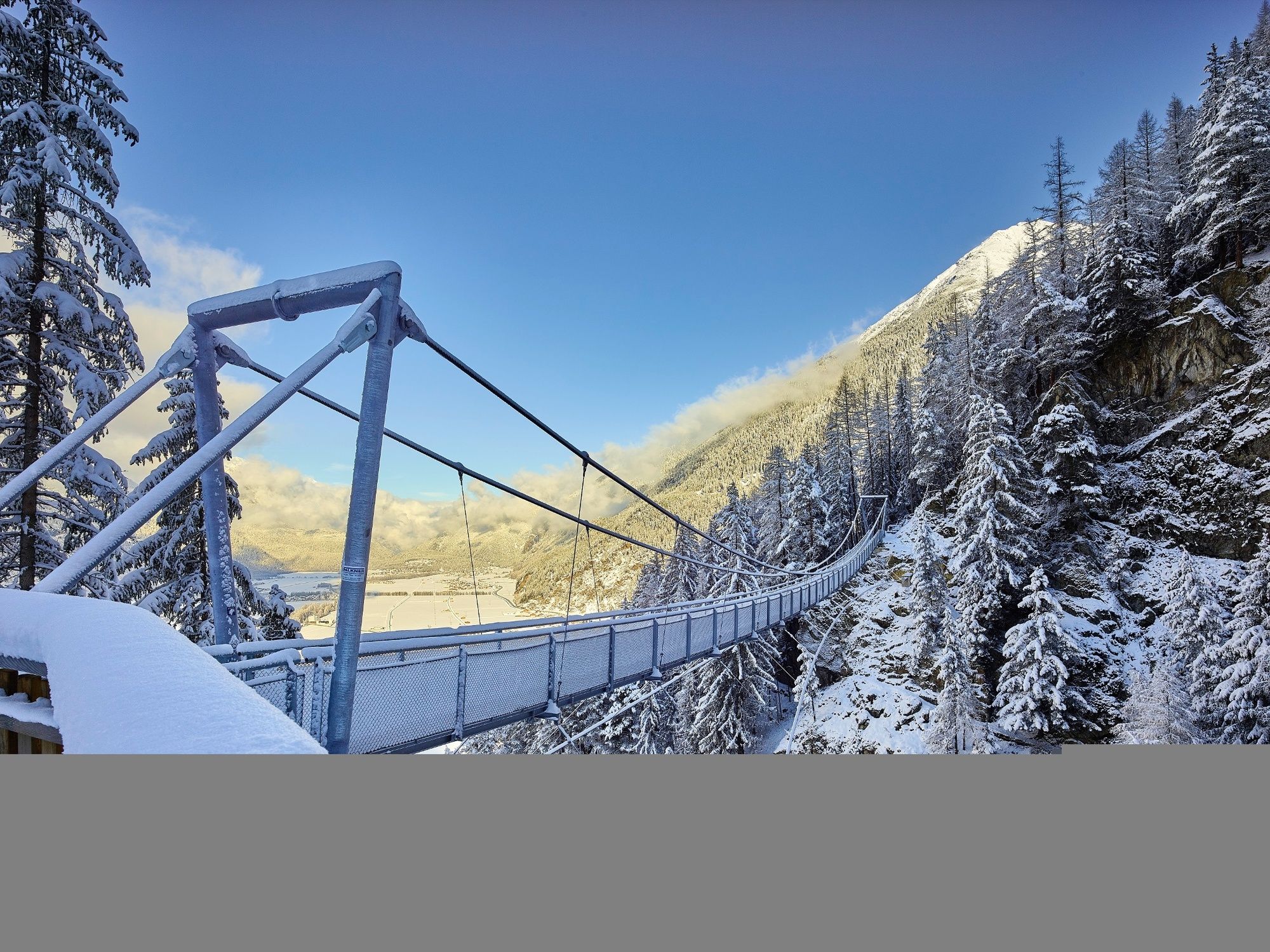
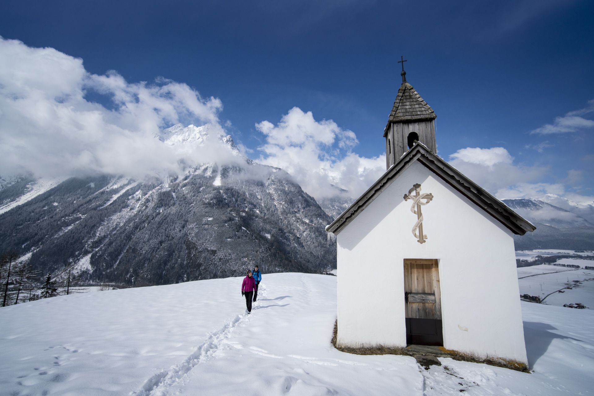
Round hiking trail Brand/Burgstein - Längenfeld 204

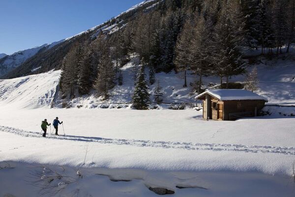
Escursioni invernali


- Descrizione rapida
-
LÄNGENFELD -> Brand -> suspension bridge -> Burgstein -> LÄNGENFELD - Difficoltà
-
intermedio
- Valutazione
-
- Percorso
-
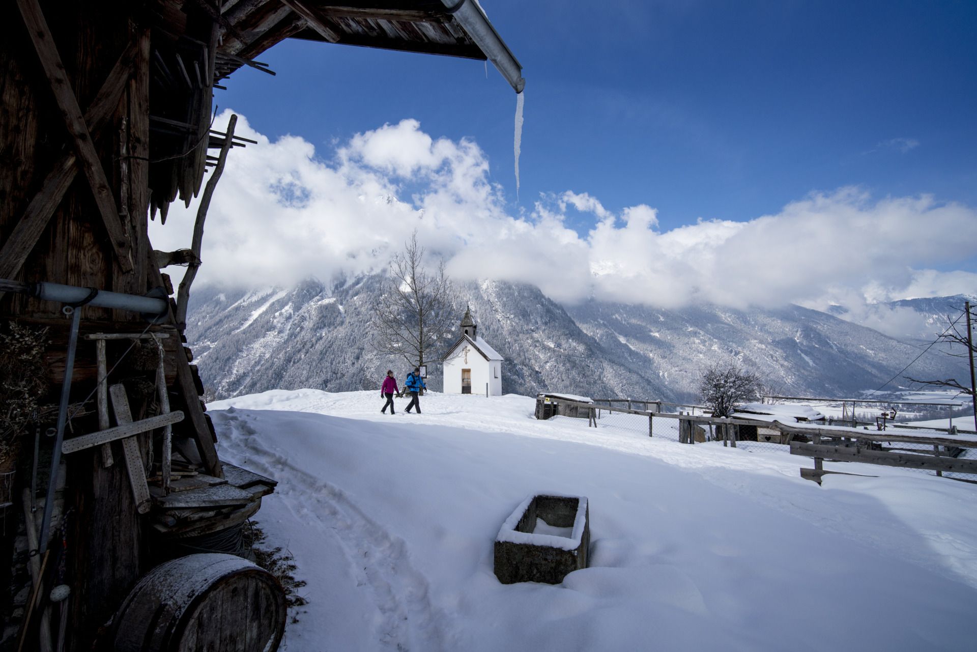
Längenfeld (1.179 m)0,1 kmOberlängenfeld0,6 kmMariahilfkapelle1,8 kmBrand1,8 kmHl. Katharina5,2 kmOberlängenfeld5,2 km
- La stagione migliore
-
agosetottnovdicgenfebmaraprmaggiulug
- Punto più alto
- 1.429 m
- Destinazione
-
Längenfeld Fischbachbrücke
- Profilo altimetrico
-


- Autore
-
Il tour Round hiking trail Brand/Burgstein - Längenfeld 204 è utilizzato da outdooractive.com fornito.
GPS Downloads


Info generali
Punto di ristoro
Promettente
Altri tour nelle regioni