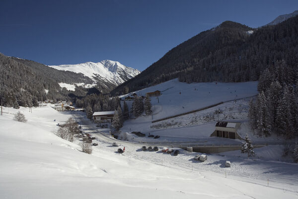
Umhauser High Altitude Trail (Dr. Bernhard-Vogelweg) - Umhausen-Niederthai

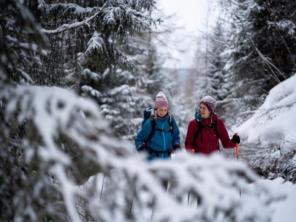
Escursioni invernali


- Descrizione rapida
-
MURE CAR PARK->Rosslachgasse->towards Hirschberg->Höhenweg->NIEDERTHAI
- Difficoltà
-
facile
- Valutazione
-
- Percorso
-
Umhausen (1.031 m)0,1 kmBichl4,2 kmHöfle4,7 kmGasthof Leiter´s Hoamatl4,8 kmSennhof6,0 kmNiederthai6,0 km
- La stagione migliore
-
agosetottnovdicgenfebmaraprmaggiulug
- Punto più alto
- 1.570 m
- Destinazione
-
Niederthai
- Profilo altimetrico
-


- Autore
-
Il tour Umhauser High Altitude Trail (Dr. Bernhard-Vogelweg) - Umhausen-Niederthai è utilizzato da outdooractive.com fornito.
GPS Downloads


Info generali
Punto di ristoro
Promettente
Altri tour nelle regioni
-
Pitztal
95
-
Umhausen im Ötztal
53