Fundusfeiler - Umhausen

Logo Fundusfeiler - Umhausen
Dati percorsi
4,65km
1.956 - 3.047m
Distanz
1.079hm
10hm
L'ascesa
03:00h
 
Durata
Descrizione rapida

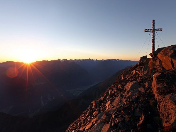
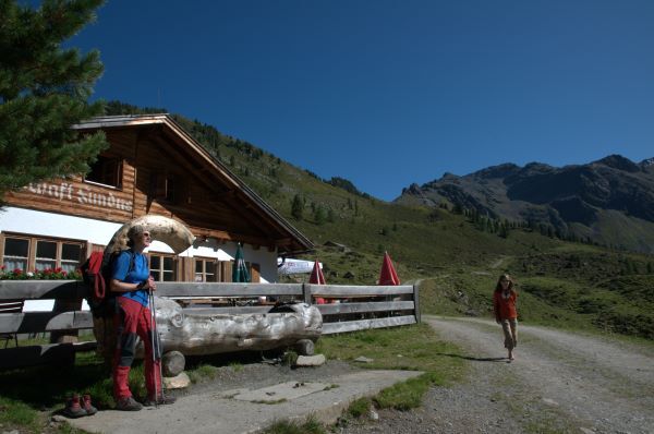
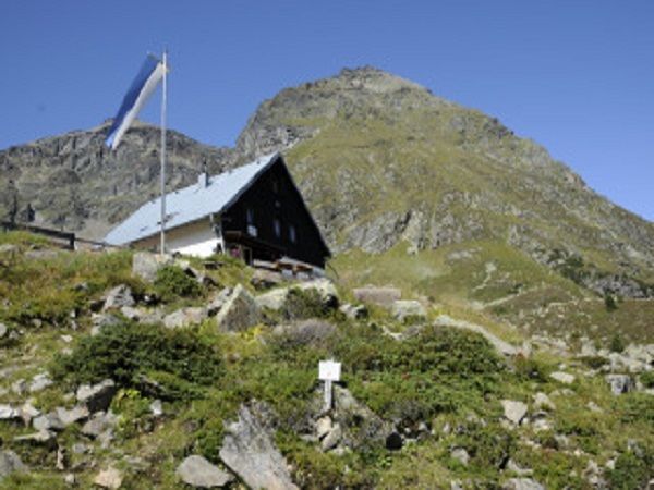
HINTERE FUNDUSALM->Frischmann hut->Feilerscharte->FUNDUSFEILER

Difficoltà
difficile
Valutazione
Tecnica
Forma fisica
Panorama
Avventura / Esperienza
Percorso
Hintere Fundusalm
0,0 km
Frischmannhütte
2,0 km

La stagione migliore
gen
feb
mar
apr
mag
giu
lug
ago
set
ott
nov
dic
Punto più alto
3.047 m
Destinazione

Fundusfeiler

Profilo altimetrico

Autore
Il tour Fundusfeiler - Umhausen è utilizzato da outdooractive.com fornito.

Valutazione complessiva

5

0

%

4

0

%

3

0

%

2

0

%

1

0

%

Errore
Si è verificato un errore. Si prega di riprovare.
Grazie per la vostra recensione

La valutazione è stata cancellata

GPS Downloads
  • GPX GPS Exchange Format (XML)
  • KML Google Earth, Google Maps
Codici di download QR per telefoni cellulari

Info generali

Punto di ristoro
Promettente
Altri tour nelle regioni

Tour popolari della zona

Naturwanderung Ambergersee (Brandsee)

Escursionismo
7,67km | 302hm | 04:30h

Aifner Spitze

intermedio Escursionismo
5,15km | 542hm | 05:00h

Larstigalm - Niederthai

facile Escursionismo
3,24km | 215hm | 01:00h

Hohe Geige über Gawinden und den Westgrat

difficile Escursionismo
14,27km | 1752hm | 08:30h