- Difficoltà
-
intermedio
- Valutazione
-
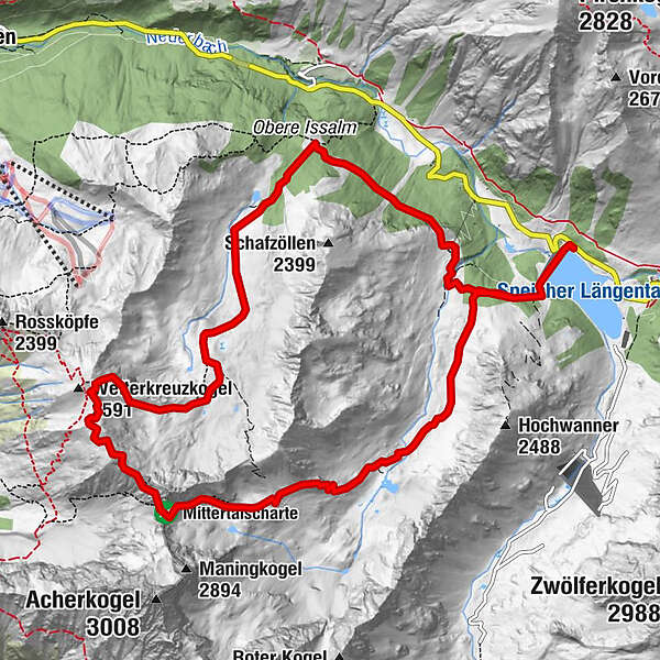
- Percorso
-
Kapelle11,5 kmGroße Mittergrathütte11,6 kmKleine Mittergrathütte11,6 kmHemerwaldalm11,6 km
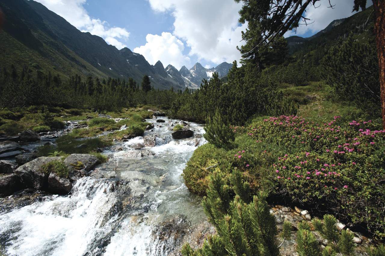
- La stagione migliore
-
genfebmaraprmaggiulugagosetottnovdic
- Punto più alto
- 2.630 m
- Destinazione
-
Stausee Kühtai
- Profilo altimetrico
-


- Autore
-
Il tour Mittertal - Wetterkreuz è utilizzato da outdooractive.com fornito.
GPS Downloads


Altri tour nelle regioni
-
Mieminger Plateau & Inntal
1686
-
Kühtai
344