


- Descrizione rapida
-
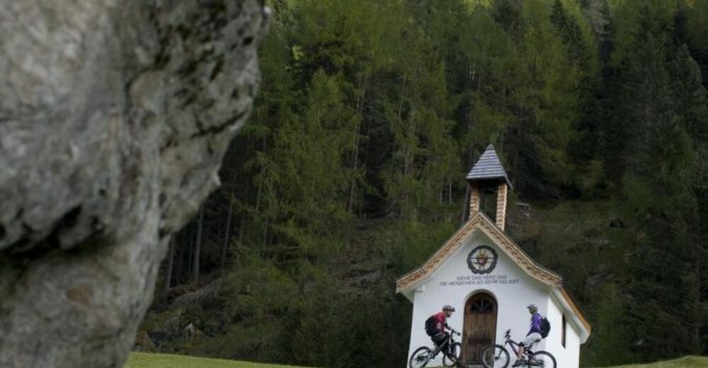
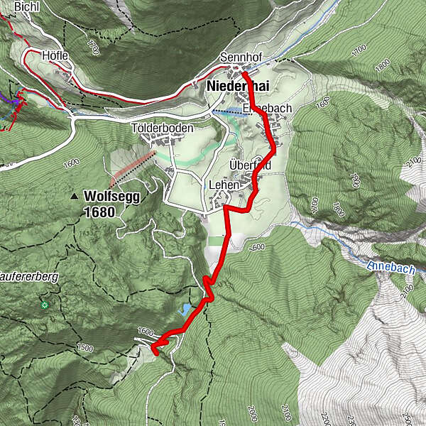
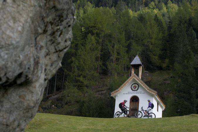
NIEDERTHAI -> car park Sennhof -> hamlet Ennebach -> hamlet Überfeld -> hamlet Lehen -> Mauslesattel -> JAUSENSTATION WIESLE
- Difficoltà
-
facile
- Valutazione
-
- Percorso
-
Sennhof0,0 kmNiederthai0,1 kmEnnebach0,3 kmÜberfeld0,7 kmLehen1,1 km
- La stagione migliore
-
genfebmaraprmaggiulugagosetottnovdic
- Punto più alto
- 1.631 m
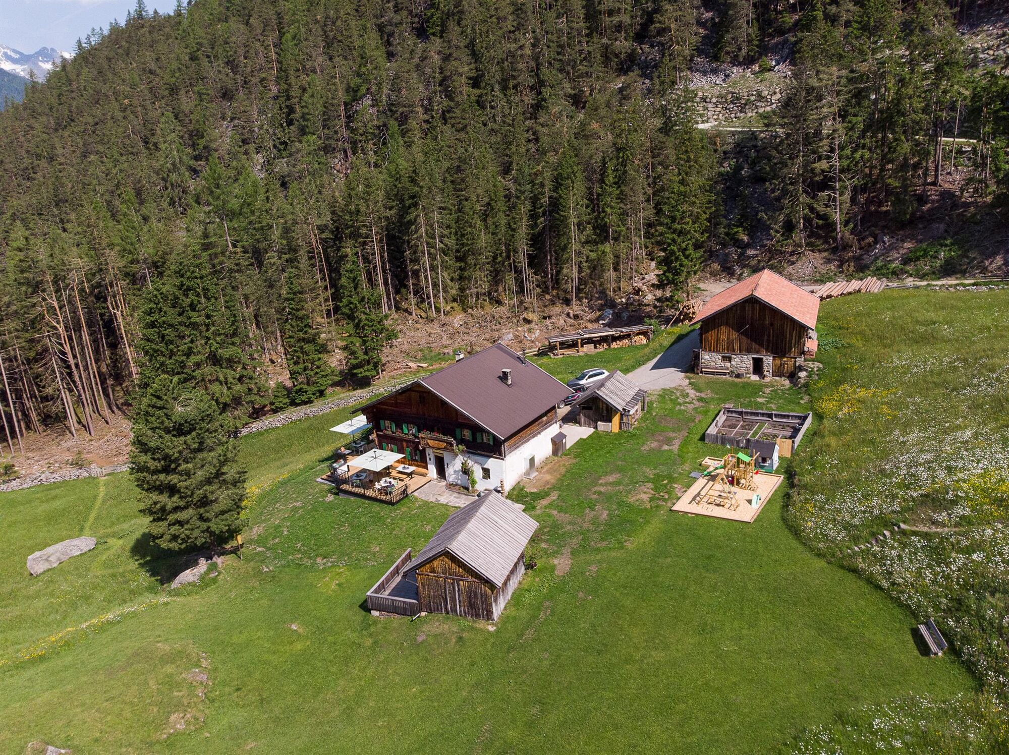
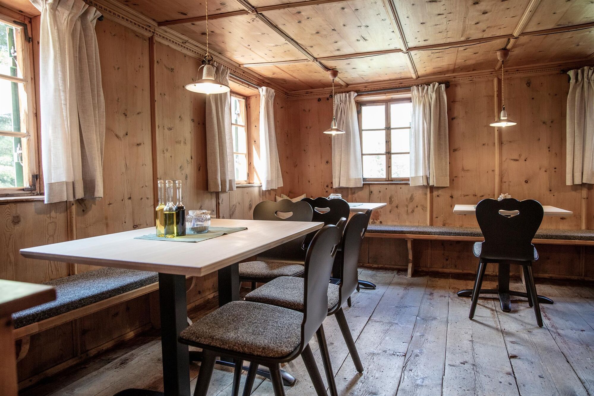
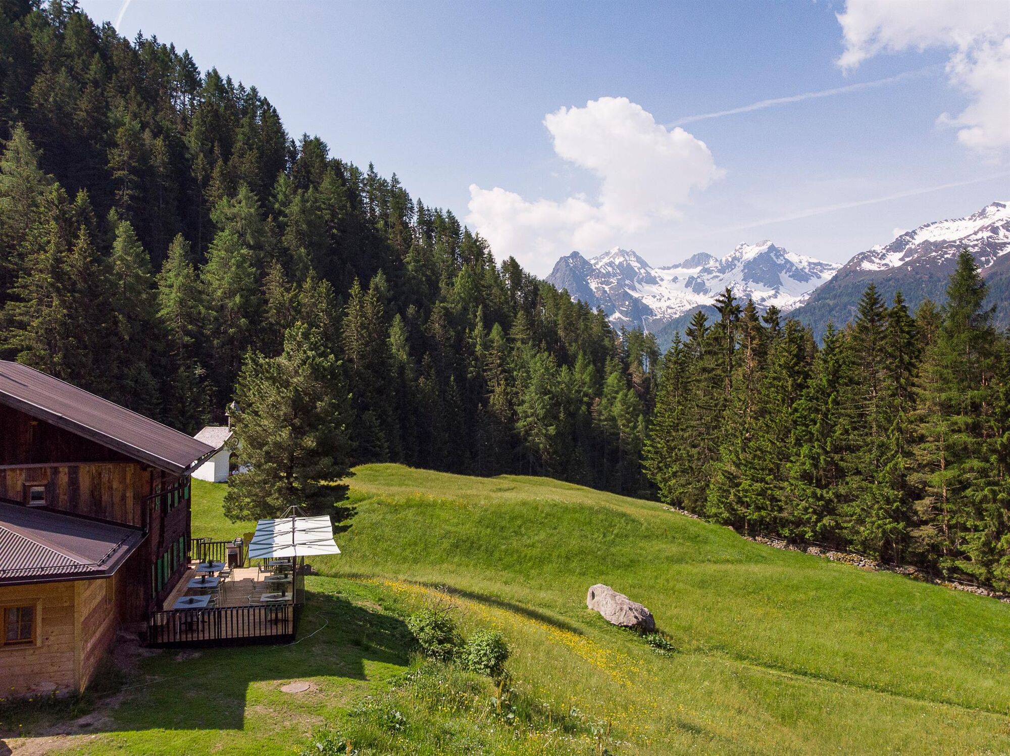
- Destinazione
-
Snack Station Wiesle
- Profilo altimetrico
-

- Autore
-
Il tour Jausenstation Wiesle - Niederthai è utilizzato da outdooractive.com fornito.
GPS Downloads


Info generali
Punto di ristoro
Altri tour nelle regioni
-
Ötztal
1107
-
Niederthai
385


