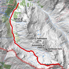
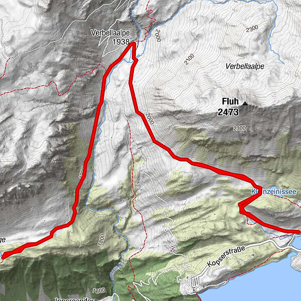
Zeinisjoch - Wiegensee

Logo Zeinisjoch - Wiegensee
Dati percorsi
10,55km
1.818 - 2.000m
Distanz
348hm
353hm
L'ascesa
03:00h
 
Durata
Difficoltà
facile
Valutazione
Tecnica
Forma fisica
Panorama
Avventura / Esperienza
Punto di partenza

Gasthof Zeinisjoch

Percorso
Alpengasthof Zeinisjoch
Alpe Verbella
2,8 km
Alpe Verbella
7,5 km
Alpengasthof Zeinisjoch
10,4 km


Punto più alto
2.000 m
Destinazione

Gasthof Zeinisjoch


Riposo/Ritiro

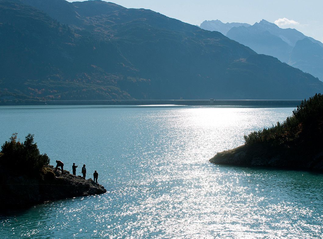
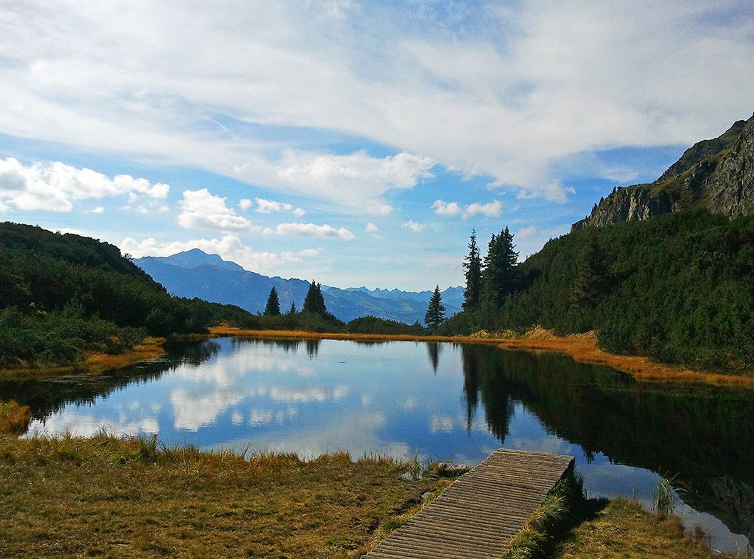
Gasthof Zeinisjoch Verbella Alpe

Cartine

TVB Paznaun-Ischgl Infobüro Galtür


Telefono informazioni

050990200

Link

3,3
Valutazione complessiva

5

50

%

4

0

%

3

0

%

2

25

%

1

25

%

GPS Downloads
  • GPX GPS Exchange Format (XML)
  • KML Google Earth, Google Maps
Codici di download QR per telefoni cellulari

Condizioni dei sentieri

Asfalto
Ghiaia
Prato
Foresta
Roccia
Esposta
Altri tour nelle regioni

Tour popolari della zona

Itonskopf

intermedio Escursionismo
5,55km | 667hm | 04:30h

Bielerhöhe and circular hike around the Silvretta reservoir

intermedio Escursionismo
13,09km | 395hm | 04:00h

Durch das Wintertal auf die Rotbühelspitze

difficile Escursionismo
17km | 1350hm | 08:30h