
Dati percorsi
11,45km
1.574
- 1.828m
246hm
237hm
02:30h
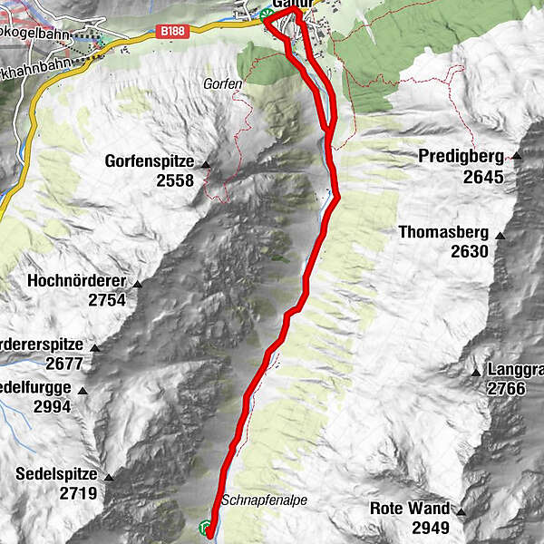
- Difficoltà
-
facile
- Valutazione
-
- Punto di partenza
-
Galtür village square
- Percorso
-
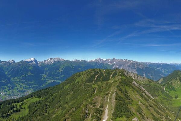
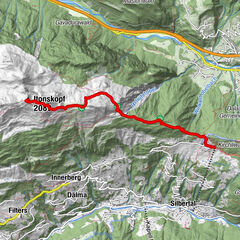
Galtür (1.582 m)0,0 kmPfarrkirche0,1 kmWinkl0,5 kmEgg0,6 kmScheiben Alm (1.850 m)5,9 kmEgg11,1 kmGaltür (1.582 m)11,3 km
- Punto più alto
- 1.828 m
- Destinazione
-
Galtür village square
- Riposo/Ritiro
-
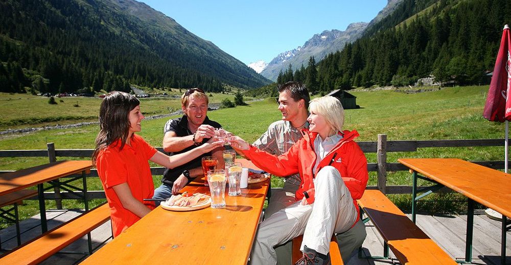
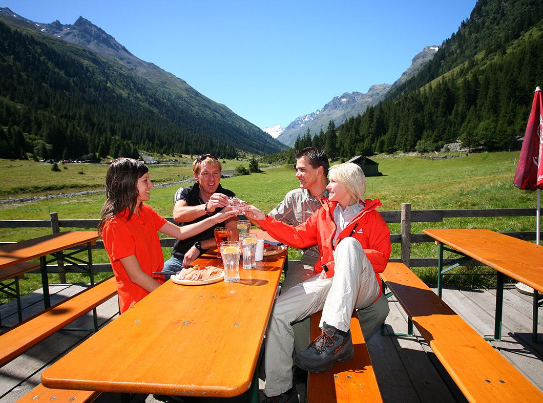
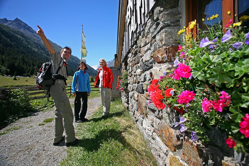
Menta Alm, Scheibenalm
- Cartine
-
TVB Paznaun-Ischgl Infobüro Galtür

GPS Downloads


Condizioni dei sentieri
Asfalto
Ghiaia
Prato
Foresta
Roccia
Esposta
Altri tour nelle regioni
-
Paznaun - Ischgl
988
-
Galtür
252