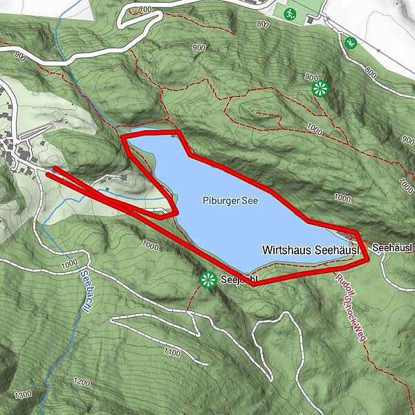
Dati percorsi
2,75km
918
- 962m
60hm
60hm
01:00h
- Descrizione rapida
-
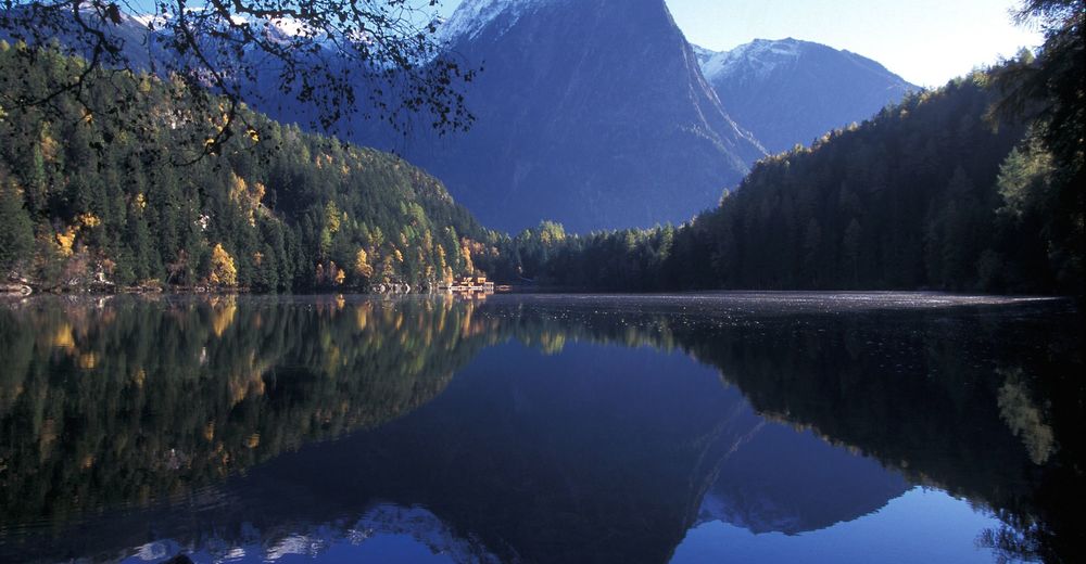
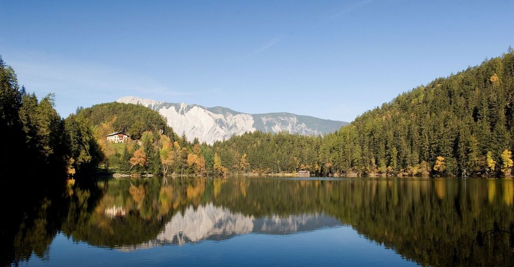
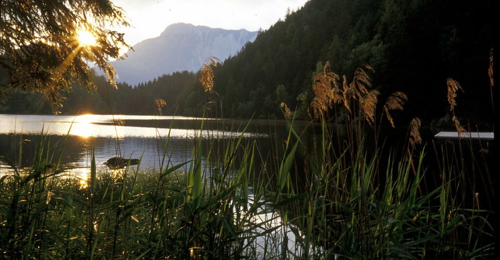
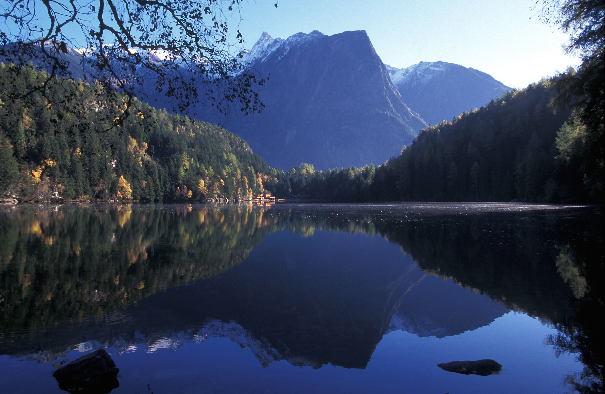
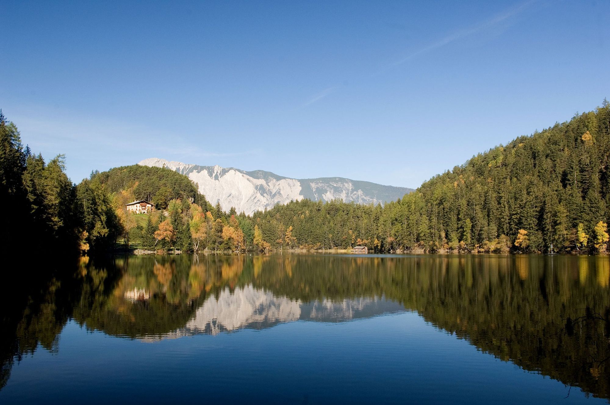
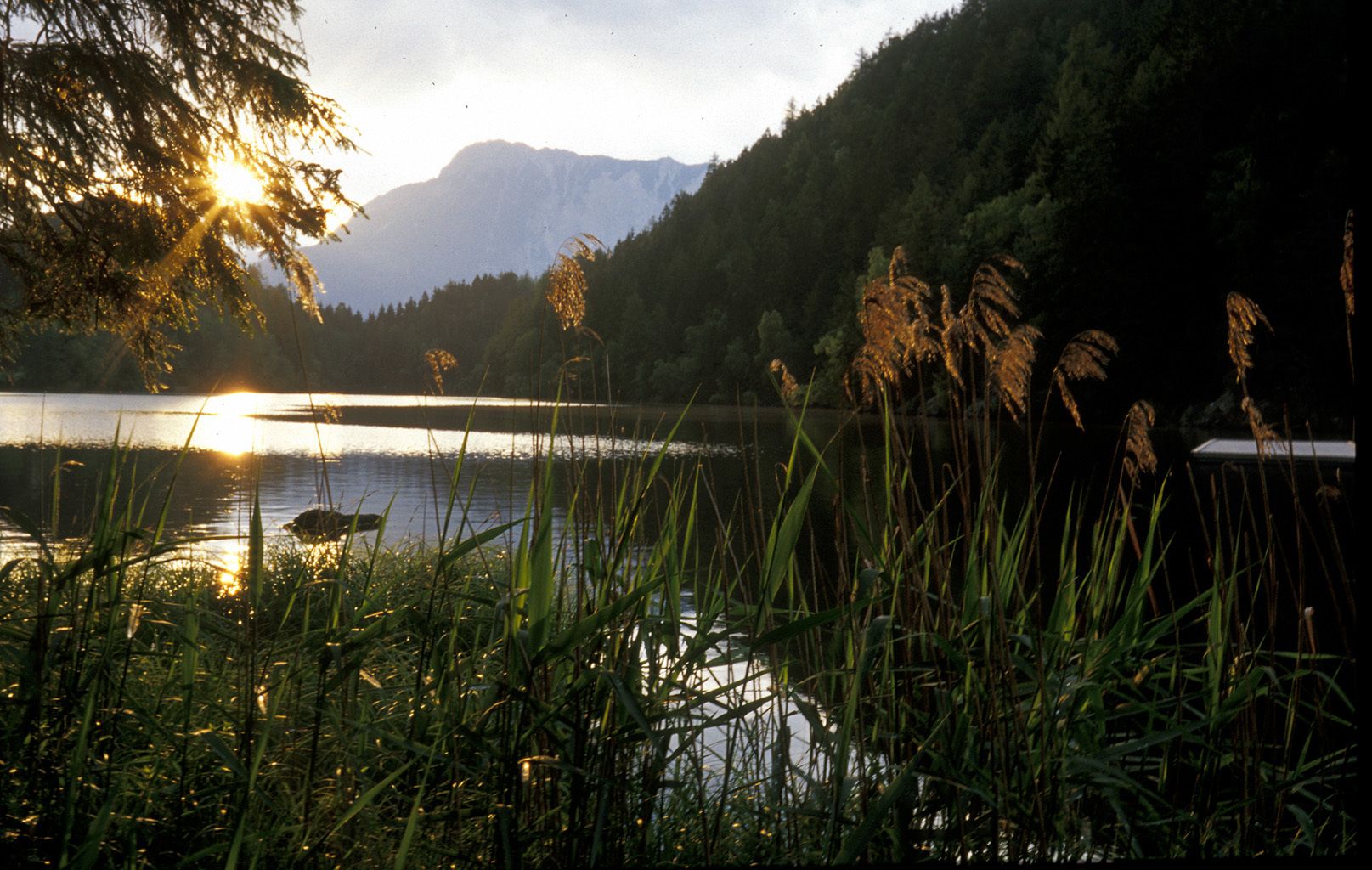
around the lake
- Difficoltà
-
facile
- Valutazione
-
- Punto di partenza
-
parking place Piburg
- Percorso
-
PiburgSeehäusl1,0 kmSeerestaurant1,1 km
- La stagione migliore
-
genfebmaraprmaggiulugagosetottnovdic
- Punto più alto
- 962 m
- Destinazione
-
parking place Piburg
- Riposo/Ritiro
-
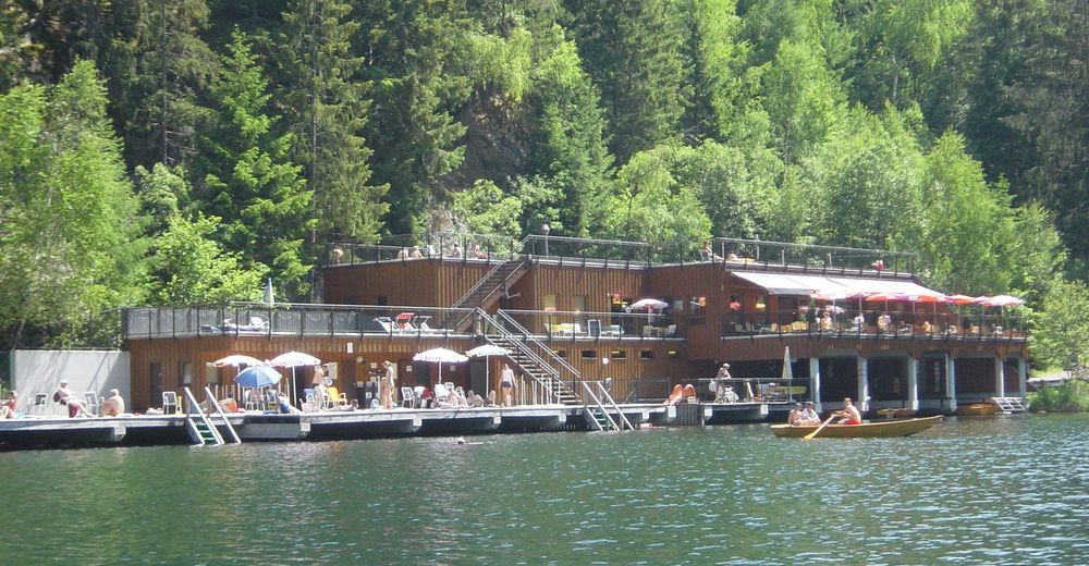
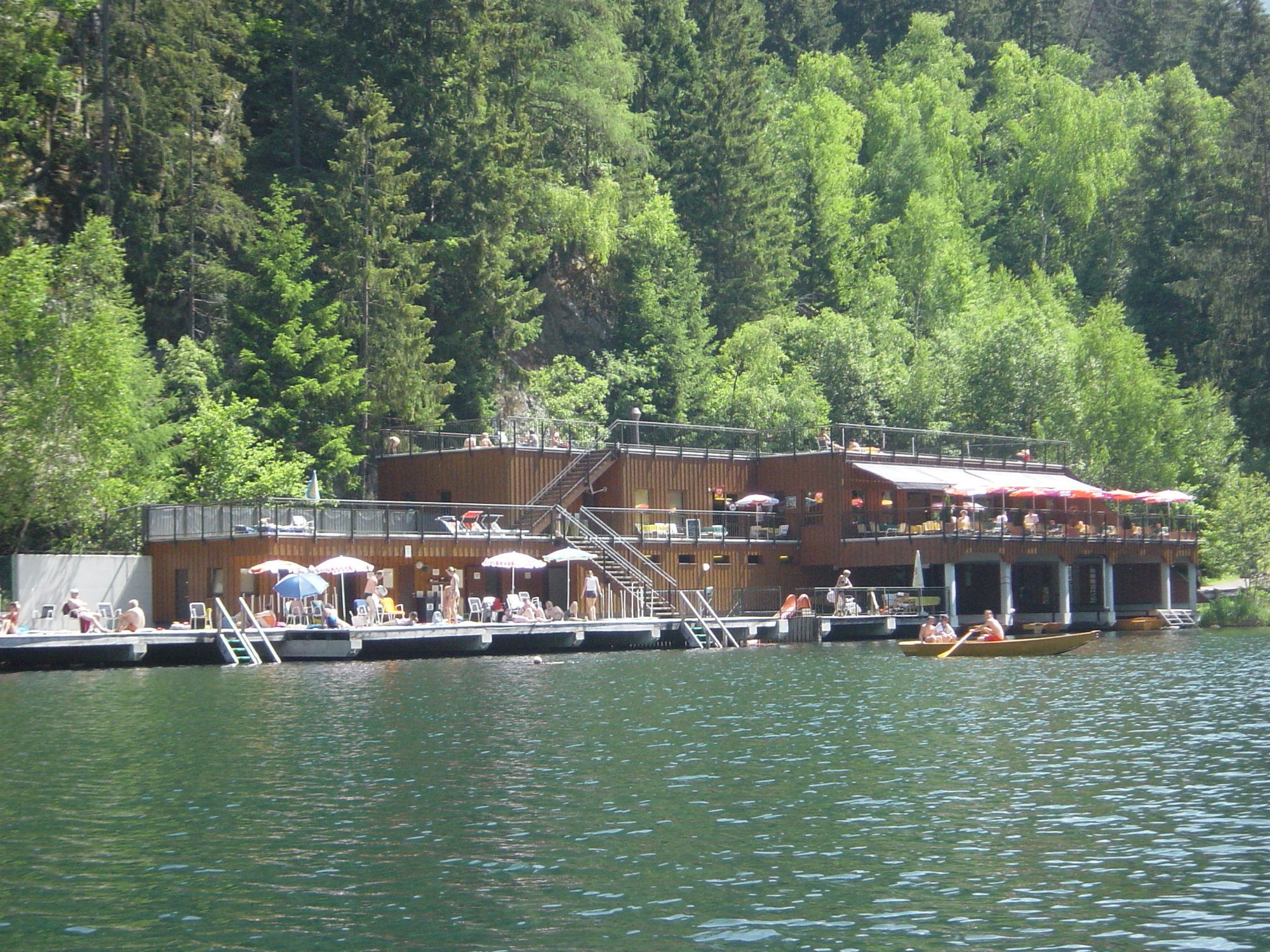
at the lake: Gasthaus Seehäusl or Badeanlage
in Piburg: Gasthof Piburger See or Hotel Seerose - Cartine
-
Tourist Information Oetz
GPS Downloads


Condizioni dei sentieri
Asfalto
Ghiaia
Prato
Foresta
Roccia
Esposta