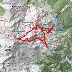
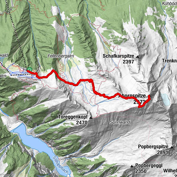
Dati percorsi
5,62km
1.948 - 2.964m
Distanz
1.047hm
32hm
L'ascesa
02:26h
 
Durata
Descrizione rapida

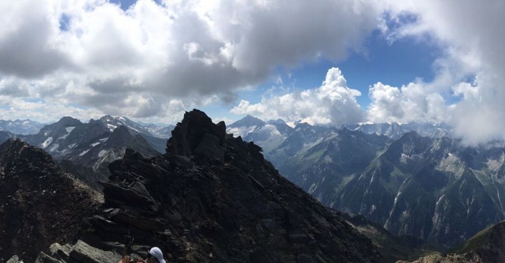
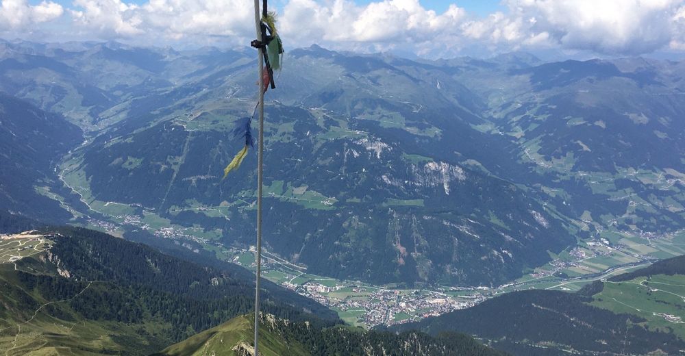
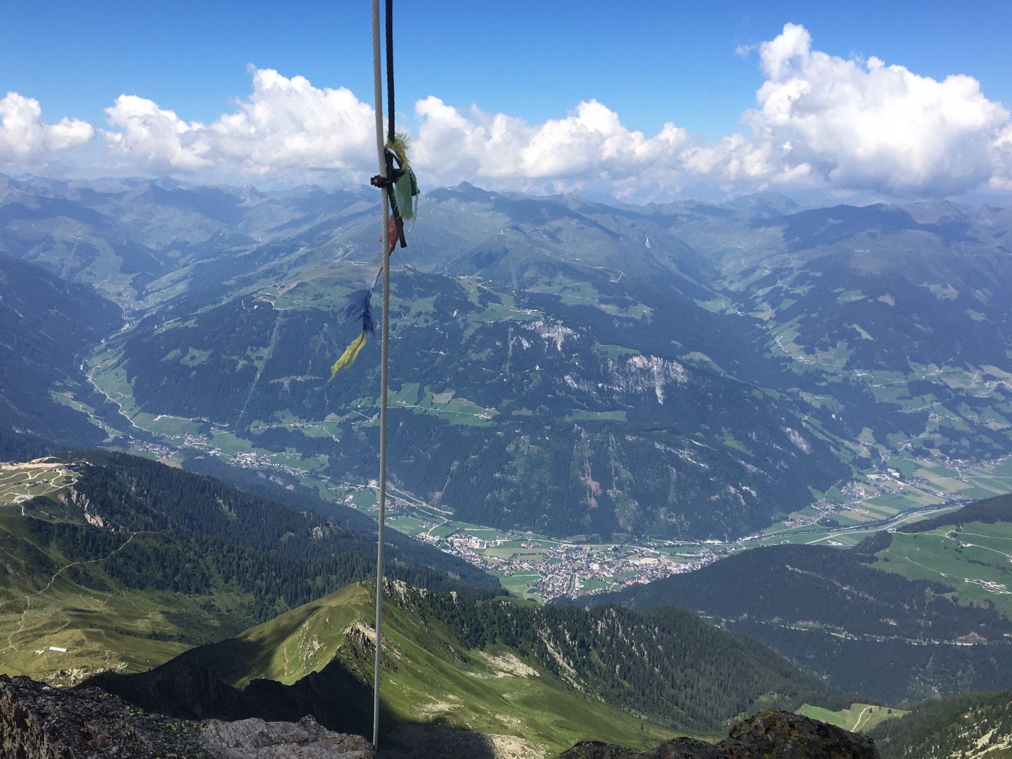
Ahornspitz von Bergstation Ahornbahn, Mayrhofen

Difficoltà
facile
Valutazione
Tecnica
Forma fisica
Panorama
Avventura / Esperienza
Percorso
8er Ahorn (1.991 m)
0,2 km
Ahornsee
0,4 km
Edelhütte
3,1 km

La stagione migliore
gen
feb
mar
apr
mag
giu
lug
ago
set
ott
nov
dic
Punto più alto
2.964 m

Valutazione complessiva

5

0

%

4

0

%

3

0

%

2

0

%

1

0

%

Errore
Si è verificato un errore. Si prega di riprovare.
Grazie per la vostra recensione

La valutazione è stata cancellata

GPS Downloads
  • GPX GPS Exchange Format (XML)
  • KML Google Earth, Google Maps
Codici di download QR per telefoni cellulari
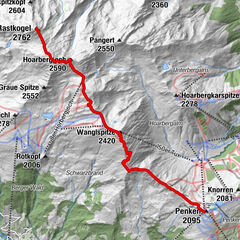
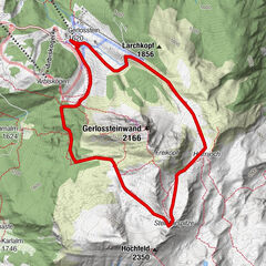
Altri tour nelle regioni

Tour popolari della zona

Zillergrund - Hohenaualm "Klein Tibet"

Escursionismo
3,9km | 86hm | 01:11h

Finkenberg: Vom Penken zum Rastkogel

Escursionismo
6,94km | 843hm | 05:00h

Bergtour: Gerlossteinwand (2.166 m)

intermedio Escursionismo
5,83km | 523hm | 03:30h