© TVB Wilder Kaiser - TVB Wilder Kaiser/Maria Luise Handl

- Descrizione rapida
-
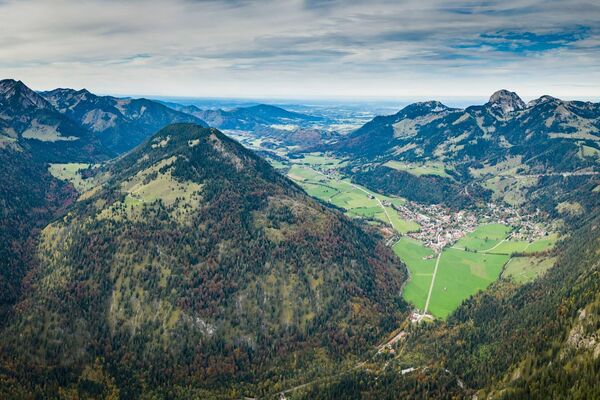
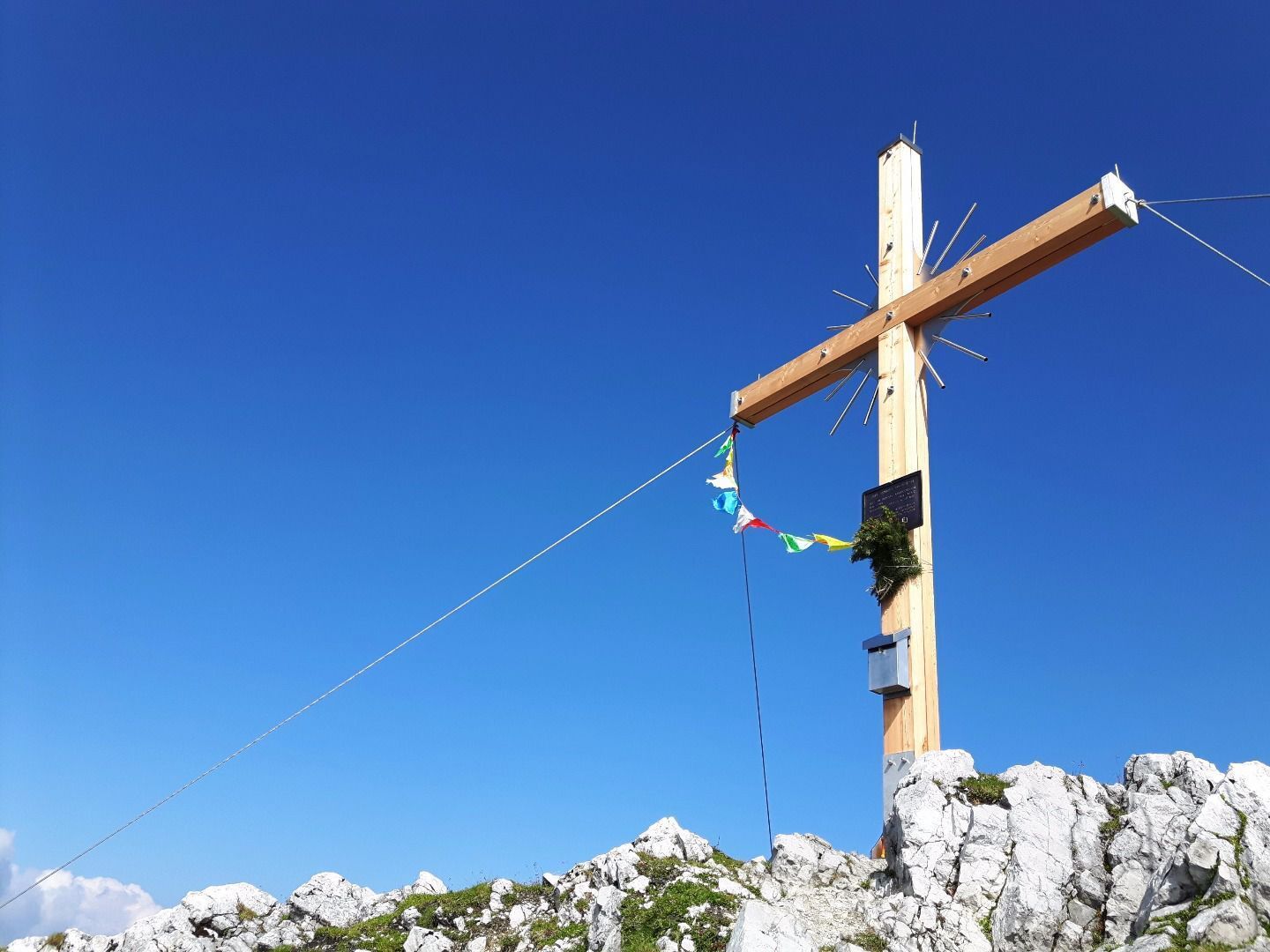
The panoramic Scheffauer is the last high peak in the west at 2,111 m above sea level.
- Difficoltà
-
difficile
- Valutazione
-
- Percorso
-
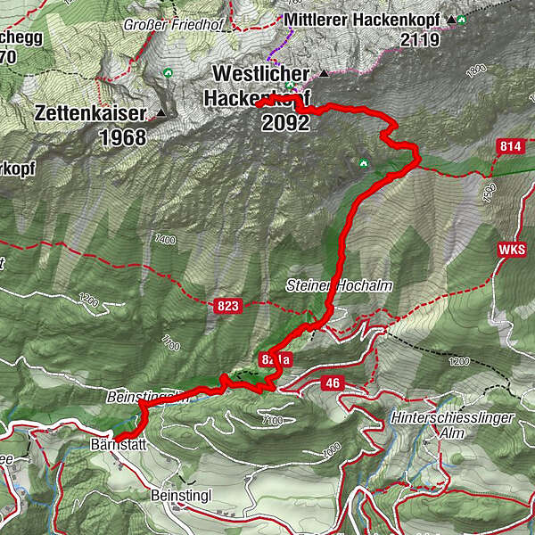
BärnstattBärnstattkapelle Sankt LeonhardSteiner Hochalm1,7 kmScheffauerhöhle (1.900 m)3,9 kmScheffauer (2.111 m)4,0 kmSteiner Hochalm6,5 kmBärnstattkapelle Sankt Leonhard8,2 kmBärnstatt8,2 km
- La stagione migliore
-
genfebmaraprmaggiulugagosetottnovdic
- Punto più alto
- 2.099 m
- Destinazione
-
Hiking starting point Bärnstatt, Scheffau (920 m)
- Profilo altimetrico
-

- Autore
-
Il tour Scheffauer summit tour è utilizzato da outdooractive.com fornito.
GPS Downloads


Info generali
Punto di ristoro
Promettente
Altri tour nelle regioni
-
Wilder Kaiser
1951
-
Scheffau am Wilden Kaiser
614