
- Descrizione rapida
-
Wanderung zu den Almen und Bergwiesen
- Difficoltà
-
intermedio
- Valutazione
-
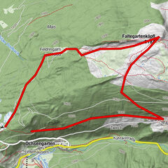
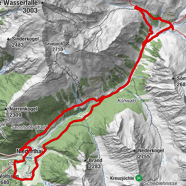
- Percorso
-
TölderbodenLehen0,6 kmÜberfeld1,1 kmEnnebach1,5 kmNiederthai1,5 kmGrasstallfeld3,6 kmJausenstation Larstighof4,9 kmKleinhorlachalm6,9 kmSchweinfurter Hütte9,3 kmSennhof15,7 kmNiederthai15,9 kmKaplaneikirche hl. Antonius15,9 kmTölderboden16,5 km
- La stagione migliore
-
genfebmaraprmaggiulugagosetottnovdic
- Punto più alto
- 2.150 m
- Destinazione
-
Hotel Tauferberg
- Profilo altimetrico
-


- Autore
-
Il tour Almenwanderung Horlachtal è utilizzato da outdooractive.com fornito.
GPS Downloads


Info generali
Suggerimento
Altri tour nelle regioni
-
Ötztal
1111
-
Niederthai
385