Dati percorsi
6,94km
2.002
- 2.712m
843hm
843hm
05:00h
- Descrizione rapida
-
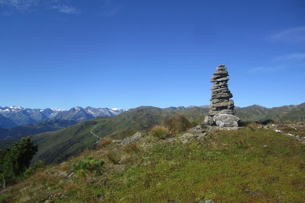
Sehr schöne Höhenwanderung in den Tuxer Alpen.
- Valutazione
-
- Punto di partenza
-
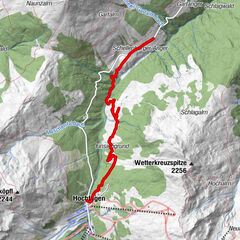
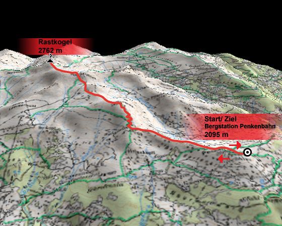
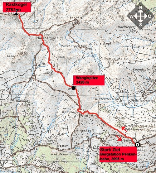
Bergstation Penkenbahn (2095 m)
- Percorso
-
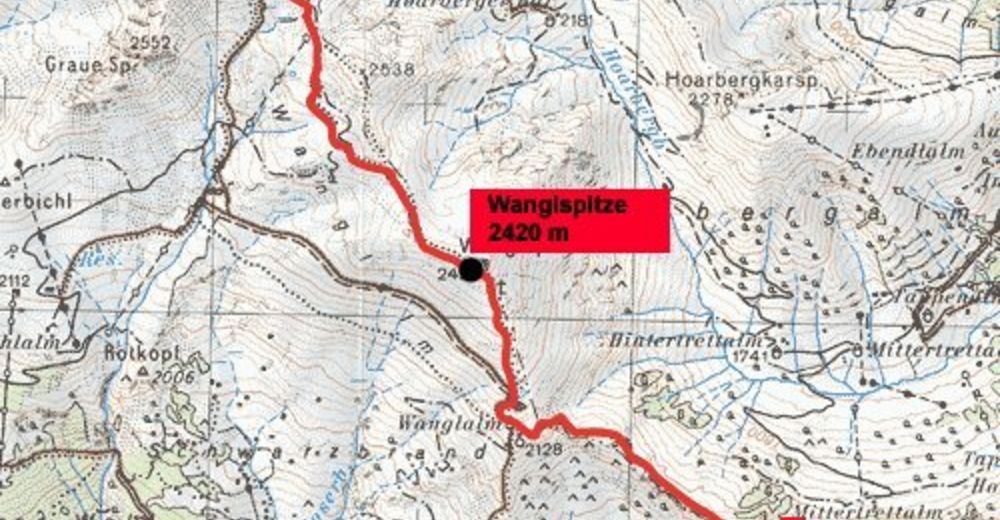
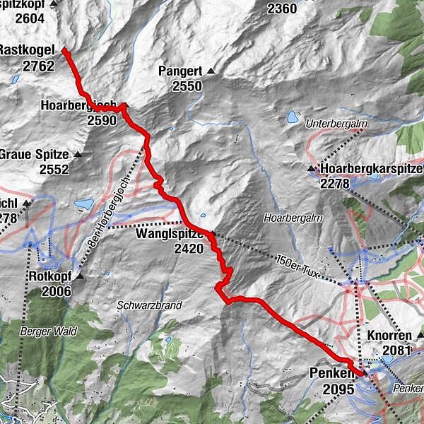
Penkenjoch1,2 kmWanglspitze (2.420 m)3,3 kmHoarbergjoch (2.590 m)5,6 kmRastkogel (2.762 m)6,8 km
- Punto più alto
- 2.712 m
- Riposo/Ritiro
-
Keine bewirtschafteten Stützpunkte an der Tour (Mit Ausnahme des Start- und Zielpunktes Penkenjochhaus.)!
- Cartine
GPS Downloads


Altri tour nelle regioni
-
Tux - Finkenberg
986
-
Tux
291