Dati percorsi
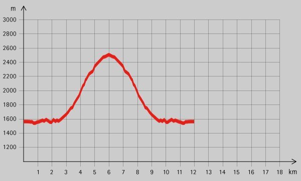
12,4km
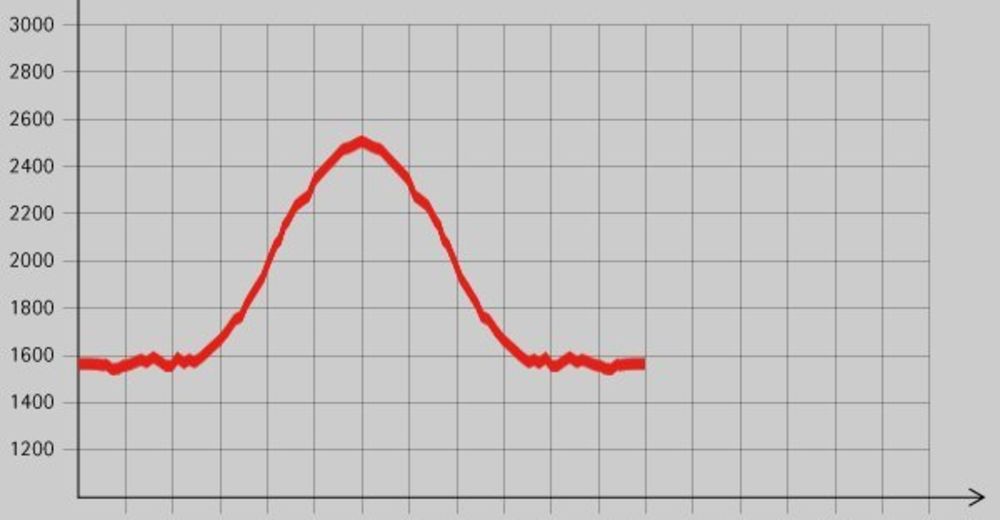
1.579
- 2.543m
974hm
06:00h
- Descrizione rapida
-
Wildromantische Tour auf meist einsamen Steig.
- Valutazione
-
- Punto di partenza
-
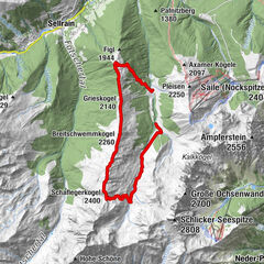
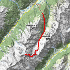
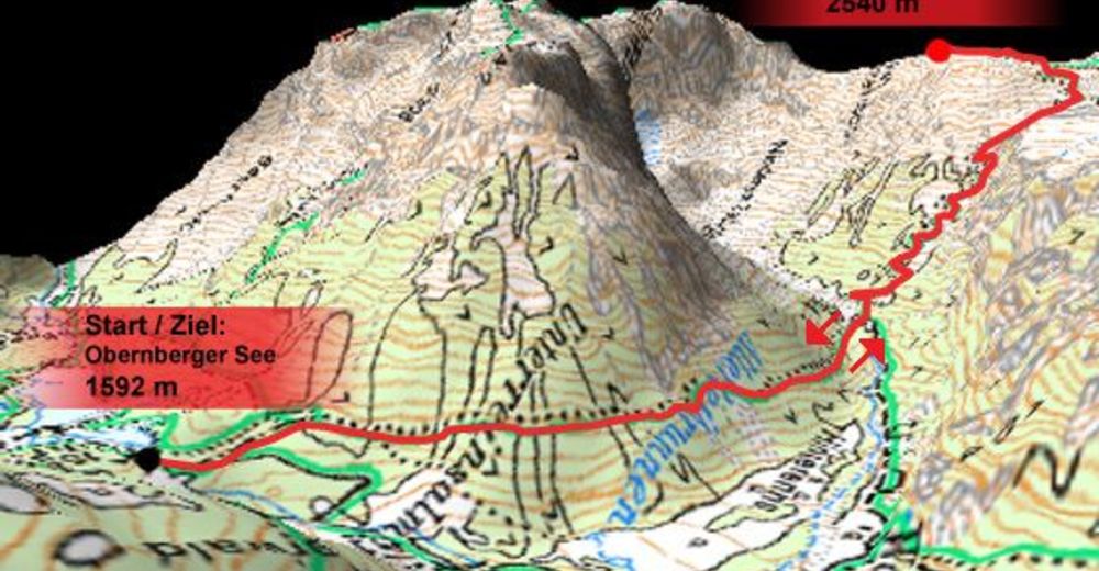
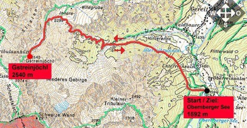
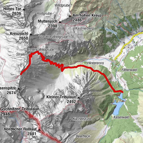
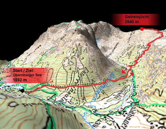
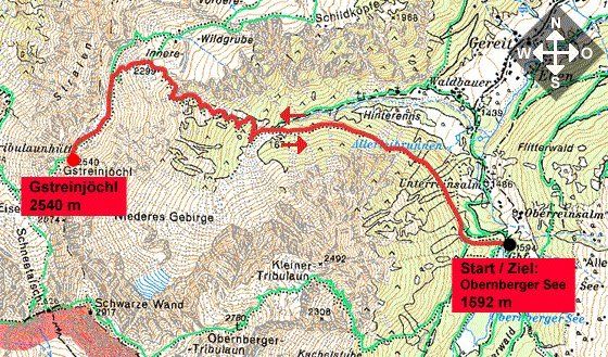
Obernberger See (1592 m)
- Percorso
-
ehem. GH Obernbergsee
- Punto più alto
- 2.543 m
- Riposo/Ritiro
-
Keine bewirtschafteten Hütten am Weg!
- Cartine
GPS Downloads


Condizioni dei sentieri
Asfalto
Ghiaia
Prato
Foresta
Roccia
Esposta
Altri tour nelle regioni
-
Brixen und Umgebung
1973
-
Gschnitztal
1032
-
Obernberg am Brenner
248