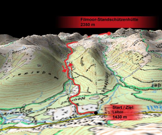
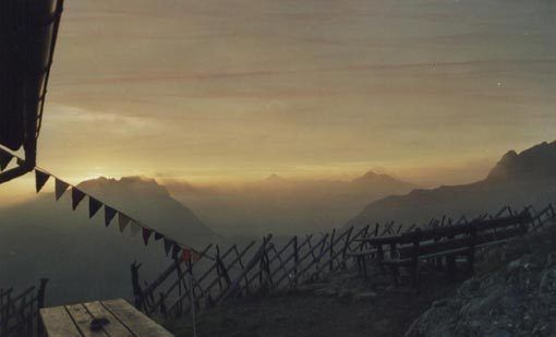
Obertilliach - Leitner Tal und Standschützenhütte

Escursionismo
Dati percorsi
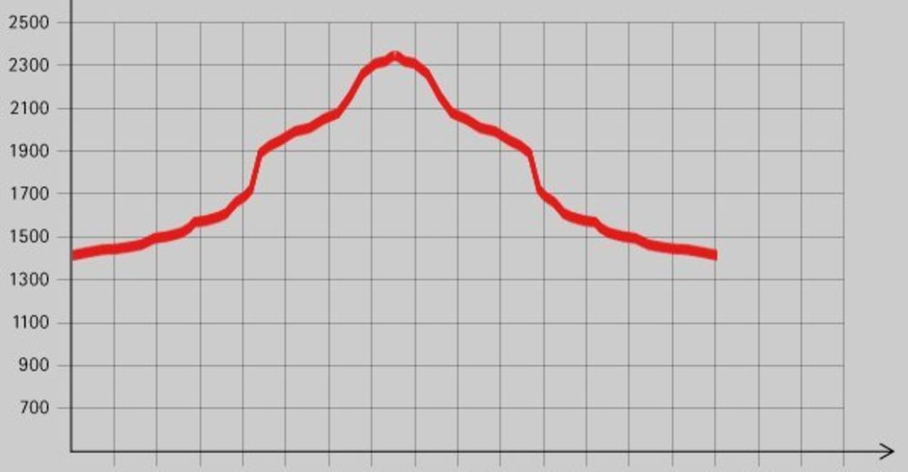
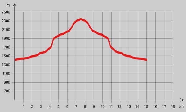
16,6km
1.443
- 2.328m
858hm
06:00h

- Descrizione rapida
-
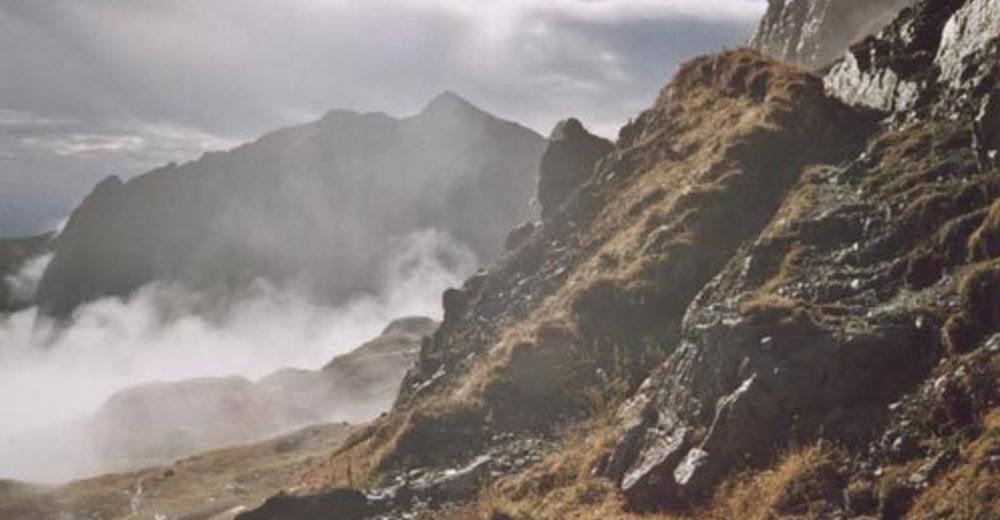
Schöne Tour mit Hütte als Ziel und Bademöglichkeit am Weg.
- Valutazione
-
- Punto di partenza
-
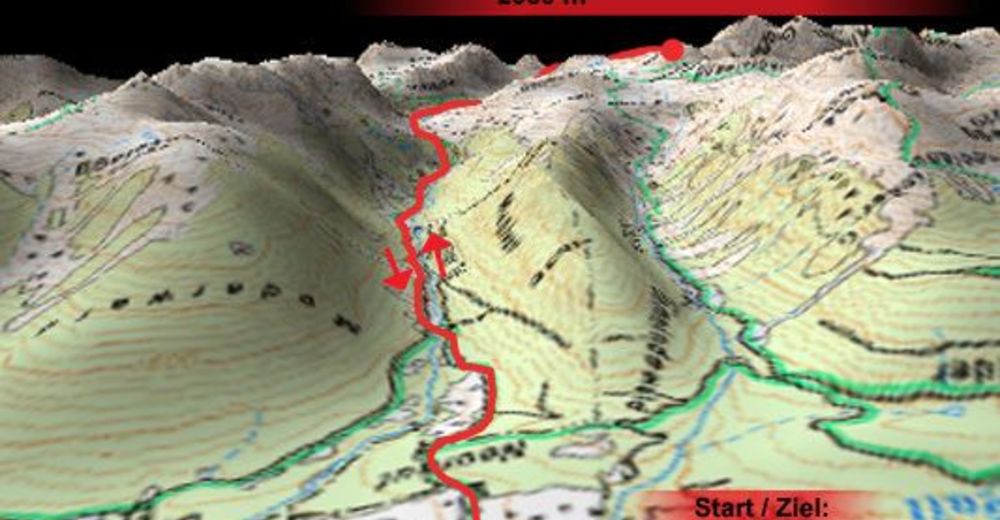
Leiten (1430 m)
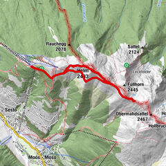
- Percorso
-
Leiten0,3 kmFilmoor-Standschützenhütte8,2 km
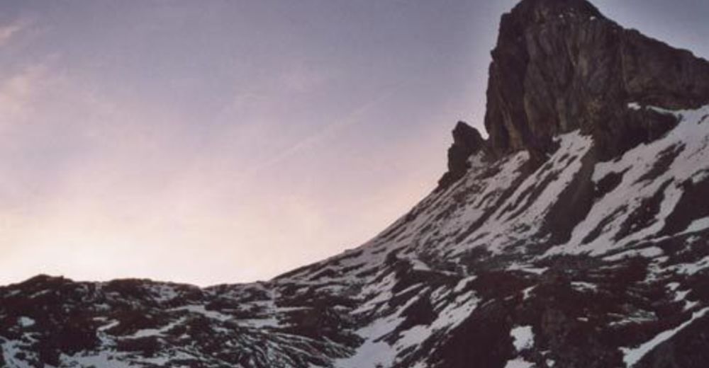
- Punto più alto
- 2.328 m
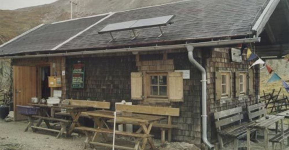
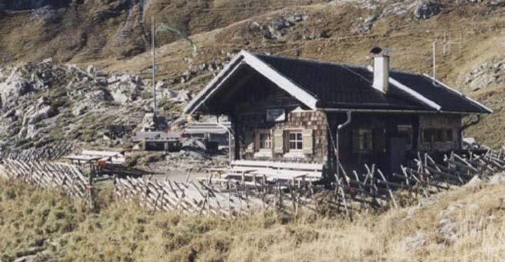
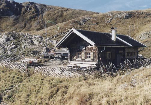
- Riposo/Ritiro
-
Filmoor-Standschützenhütte
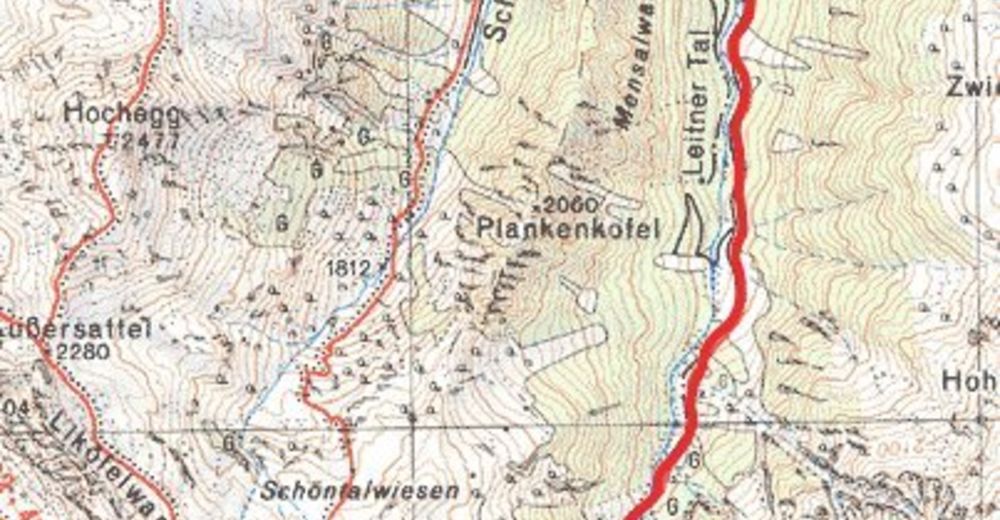
- Cartine


GPS Downloads


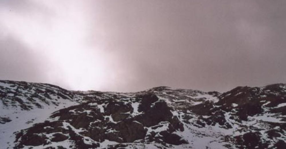
Condizioni dei sentieri
Asfalto
Ghiaia
Prato
Foresta
Roccia
Esposta
Altri tour nelle regioni