© Griessenboeck - Gabriele Griessenboeck
© Griessenboeck - Gabriele Griessenboeck

© Griessenboeck - Gabriele Griessenboeck
Dati percorsi
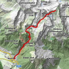
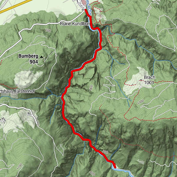
6,33km
543
- 652m
67hm
64hm
01:34h
- Descrizione rapida
-
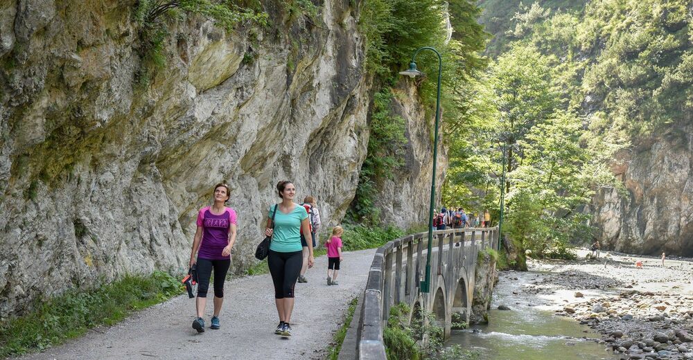
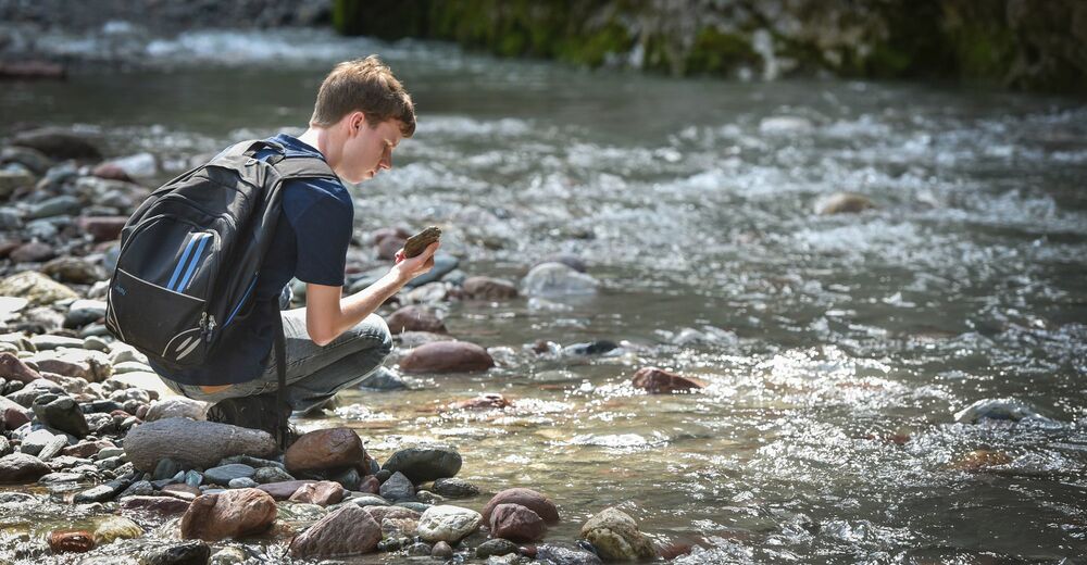
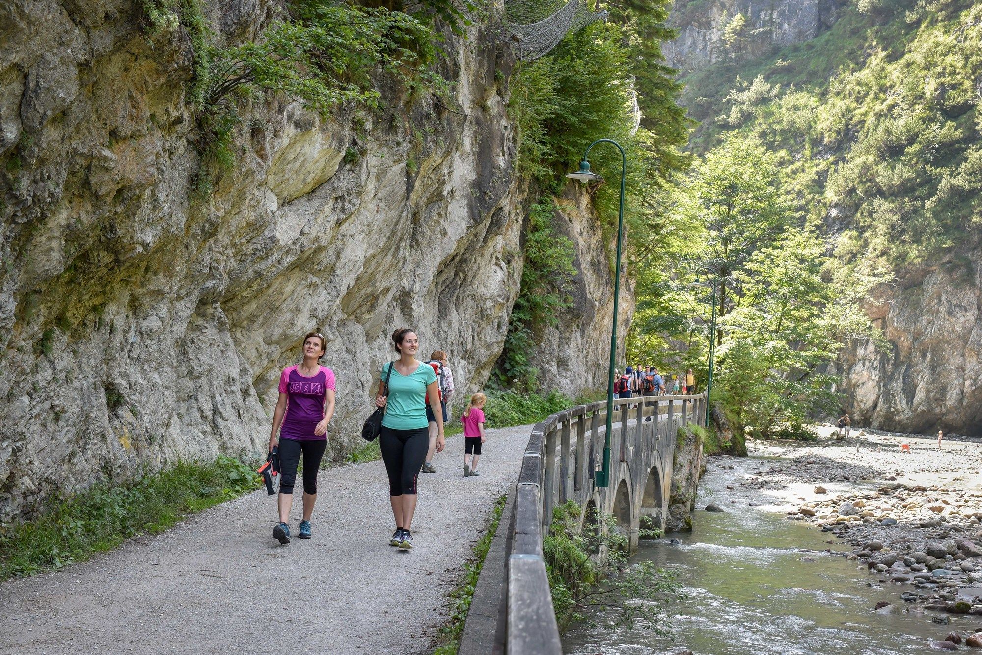
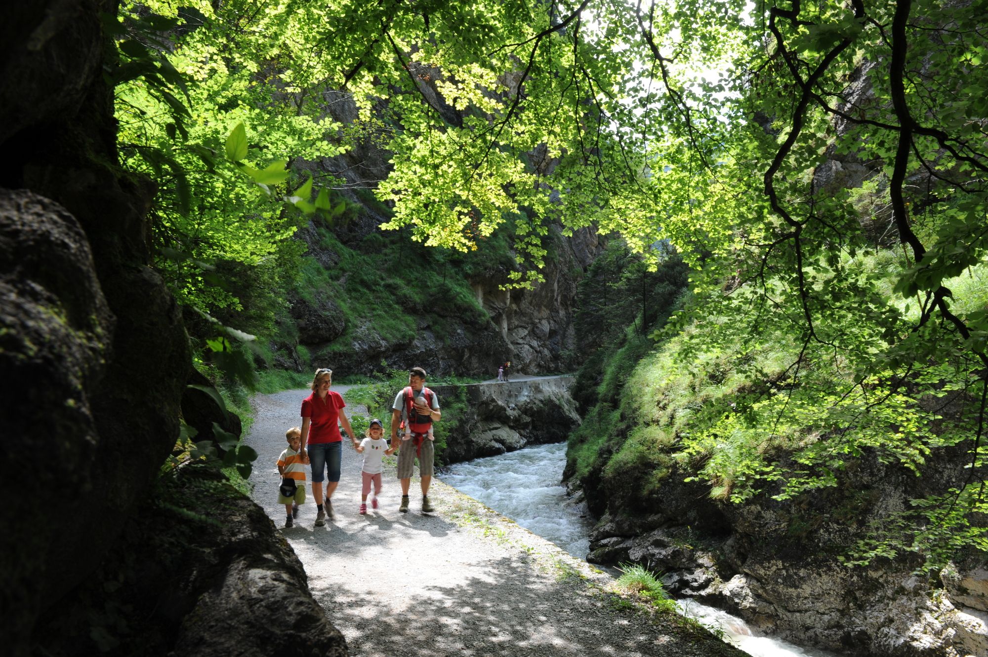
Klammwanderung auf breitem, kinderwagentauglichem, nur leicht ansteigendem Weg
- Difficoltà
-
facile
- Valutazione
-
- Percorso
-
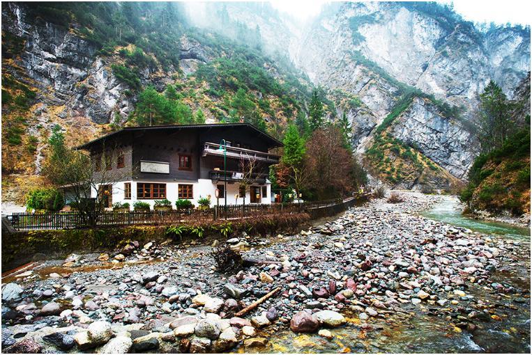
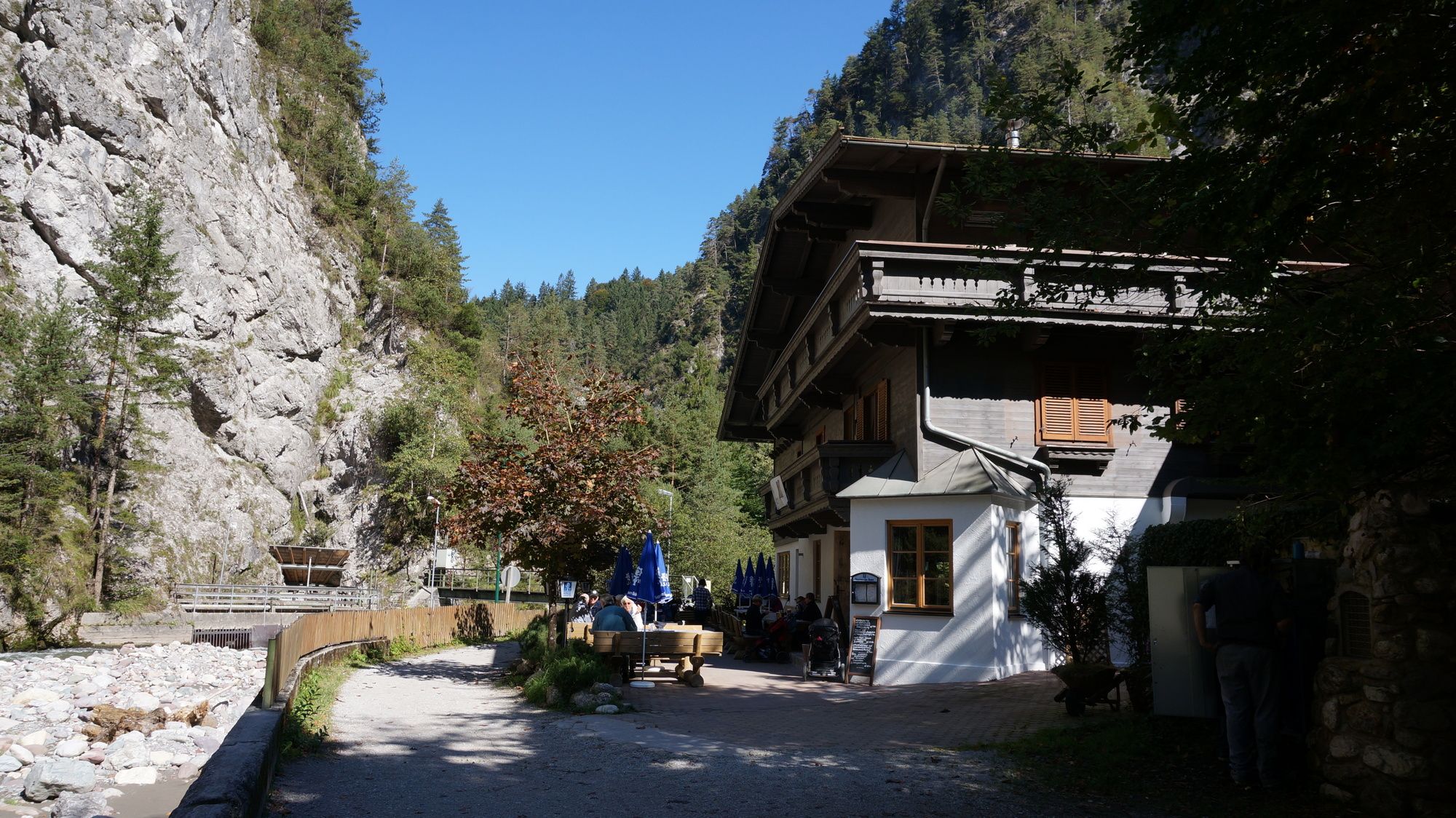
Gasthaus Kundler Klamm0,8 kmGasthaus Kundler Klamm5,5 km
- La stagione migliore
-
genfebmaraprmaggiulugagosetottnovdic
- Punto più alto
- 652 m
- Riposo/Ritiro
-
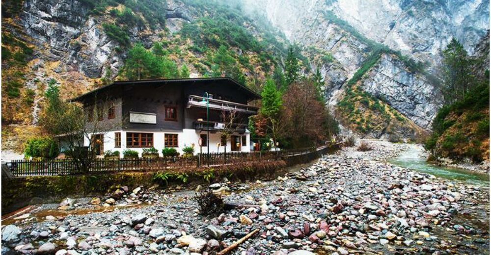
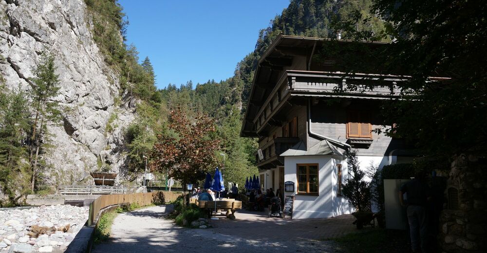
Gasthaus Kundler Klamm

GPS Downloads


Condizioni dei sentieri
Asfalto
Ghiaia
Prato
Foresta
Roccia
Esposta
Altri tour nelle regioni
-
Wildschönau
1793
-
Kundl
452