© Panoramahotel Talhof - Tanja Weirather

© Panoramahotel Talhof - Tanja Weirather

- Descrizione rapida
-
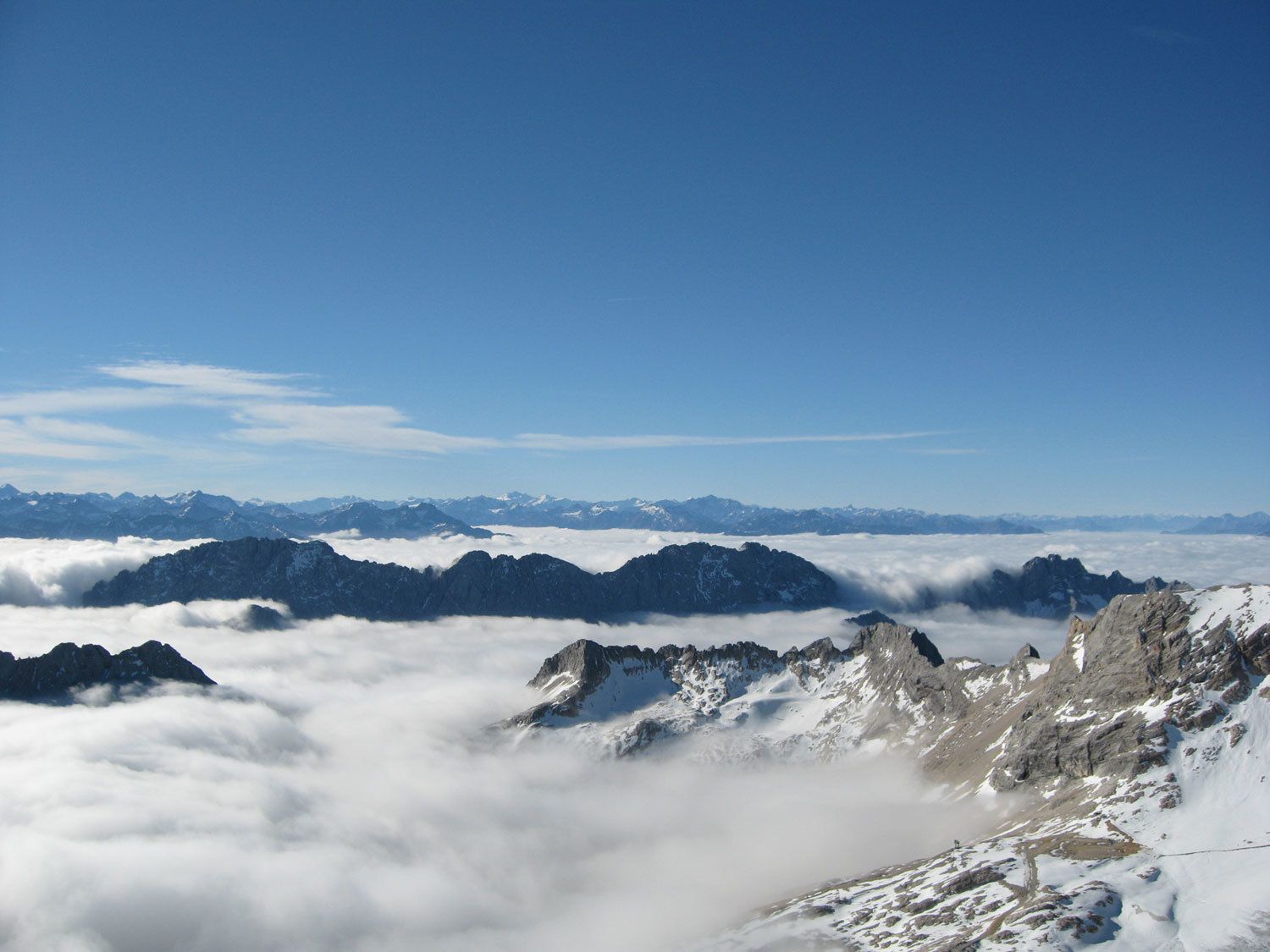
Wunderschöne Bergtour auf den höchsten Berg Deutschlands.
- Difficoltà
-
difficile
- Valutazione
-
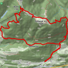
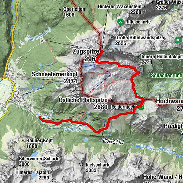
- Percorso
-
BrentAlm0,0 kmGanghofer Hütte (1.289 m)1,3 kmEhrwalder Alm2,6 kmPestkapelle3,9 kmHochfeldern-Alm4,4 kmGatterl (2.024 m)7,7 kmEhemalige Gatterlhütte8,4 kmKnorrhütte (2.052 m)10,0 kmMünchner Haus13,9 kmGletscherbahn Bergstation13,9 kmZugspitze (2.962 m)13,9 km
- La stagione migliore
-
genfebmaraprmaggiulugagosetottnovdic
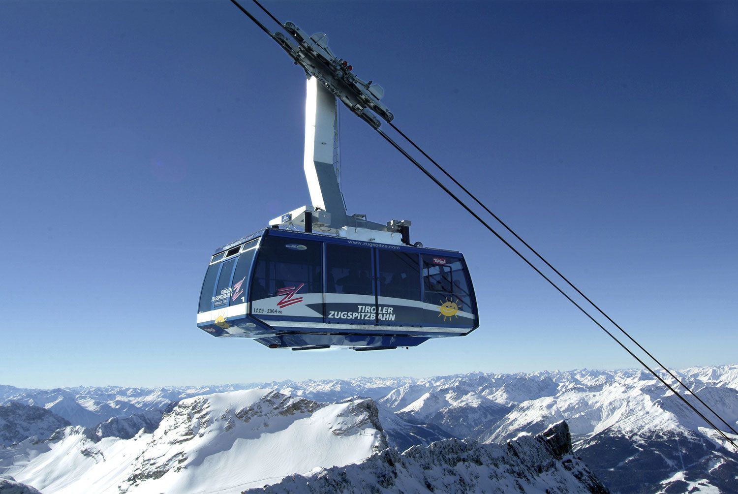
- Punto più alto
- 2.941 m
- Destinazione
-
Zugspitze
- Profilo altimetrico
-

- Autore
-
Il tour Auf die Zugspitze è utilizzato da outdooractive.com fornito.
GPS Downloads


Altri tour nelle regioni
-
Mieminger Plateau & Inntal
1686
-
Zugspitze
438