
- Descrizione rapida
-
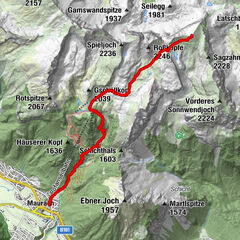
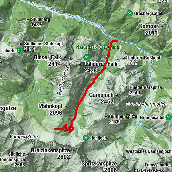
Entweder direkt übers Hohljoch 1.974 m unterhalb der Lalidererwände entlang zur
- Percorso
-
Falkenhütte8,6 km
- Punto più alto
- 1.843 m
- Destinazione
-
Falkenhütte
- Profilo altimetrico
-

- Autore
-
Il tour Falkenhütte è utilizzato da outdooractive.com fornito.
GPS Downloads


Info generali
Suggerimento
Altri tour nelle regioni
-
Ferienregion Hall - Wattens
1479
-
Hinterriss
120