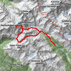
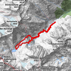
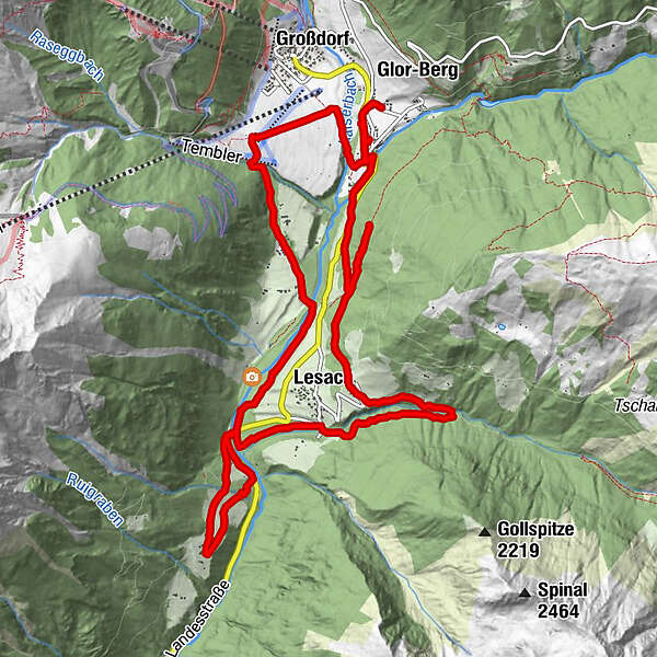
Dati percorsi
14,44km
1.240
- 1.461m
516hm
514hm
04:27h
- Descrizione rapida
-
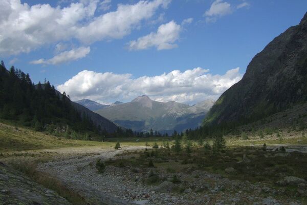
In de omgeving van Kals
- Difficoltà
-
facile
- Valutazione
-
- Percorso
-
Kals am Großglockner0,2 kmGasthof Ködnitzhof0,2 kmKalser Eck0,2 kmPfarrkirche0,3 kmKödnitz0,3 kmGroßdorf1,0 kmTemblerhof1,6 kmLana2,7 kmLourdeskapelle2,9 kmArzl3,2 kmPradell3,3 kmLesach (1.319 m)3,9 kmArnig5,7 kmGasthaus Glocknerblick5,9 kmOberlesach10,1 kmLesach (1.319 m)10,1 kmPradell10,8 kmKödnitz13,4 kmPfarrkirche13,7 kmGasthof Ködnitzhof13,7 kmKalser Eck13,8 kmKals am Großglockner14,0 kmGlor-Berg14,3 km
- Punto più alto
- 1.461 m
GPS Downloads


Altri tour nelle regioni