
- Descrizione rapida
-
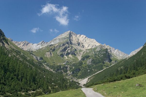
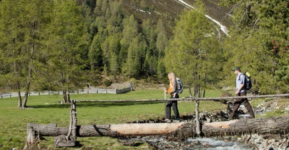
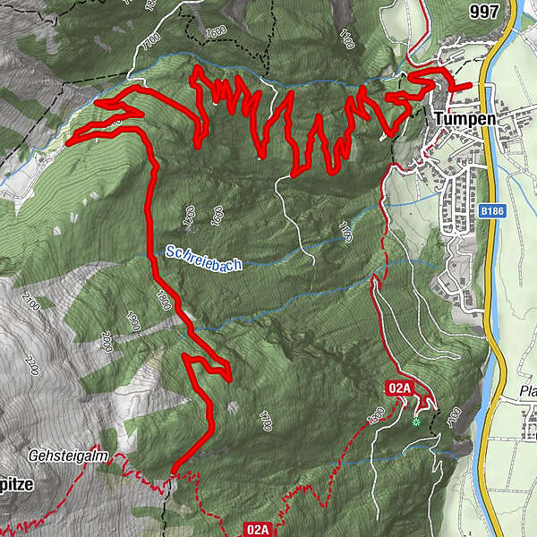
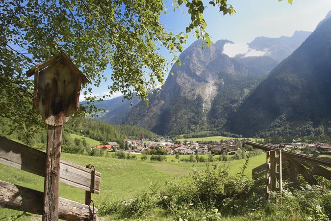
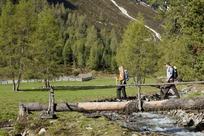
TUMPEN -> car park elementary school -> "Grube" -> crossroads -> Vordere Tumpenalm -> GEHSTEIGALM
- Difficoltà
-
facile
- Valutazione
-
- Percorso
-
Tumpen0,1 kmMuttergotteskapelle0,5 kmTumpener Wasserfall1,3 kmTumpener Wasserfall1,6 km
- La stagione migliore
-
genfebmaraprmaggiulugagosetottnovdic
- Punto più alto
- 1.898 m
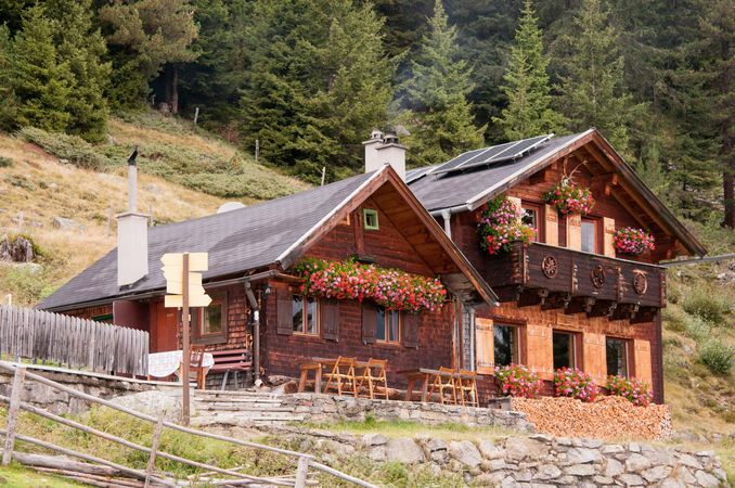
- Destinazione
-
Gehsteigalm
- Profilo altimetrico
-

- Autore
-
Il tour Gehsteigalm - Umhausen è utilizzato da outdooractive.com fornito.
GPS Downloads


Info generali
Punto di ristoro
Promettente