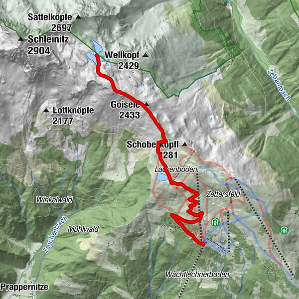
Dati percorsi
5,93km
1.813
- 2.457m
642hm
642hm
05:00h
- Descrizione rapida
-
Folgen Sie den Spuren der Eiszeit.
- Difficoltà
-
intermedio
- Valutazione
-
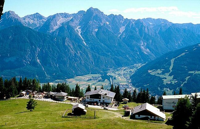
- Punto di partenza
-
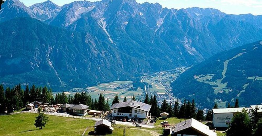
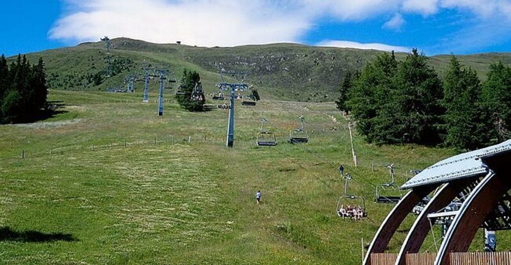
Zettersfeld Bergstation (Steinermandl 2.214 m)
- Percorso
-
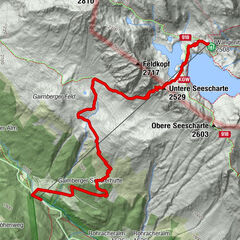
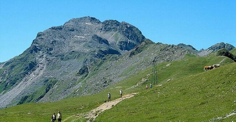
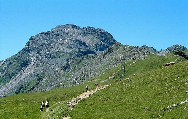
Goldener Pflug0,1 kmZettersfeld0,1 kmdie Alm0,2 kmGoiselemandl (2.433 m)4,5 kmNeualplschneid4,7 kmNeualplseen5,8 km
- La stagione migliore
-
genfebmaraprmaggiulugagosetottnovdic
- Punto più alto
- 2.457 m
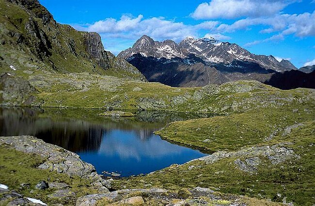
- Destinazione
-
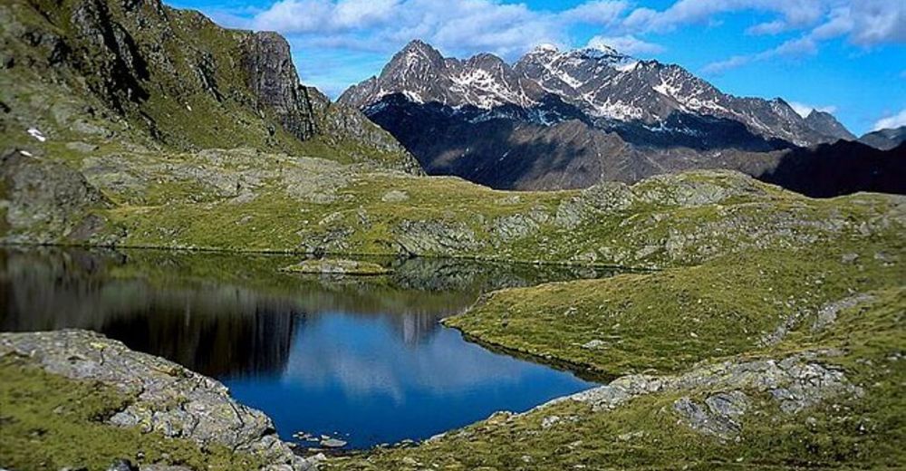
Neualplseen
- Riposo/Ritiro
-
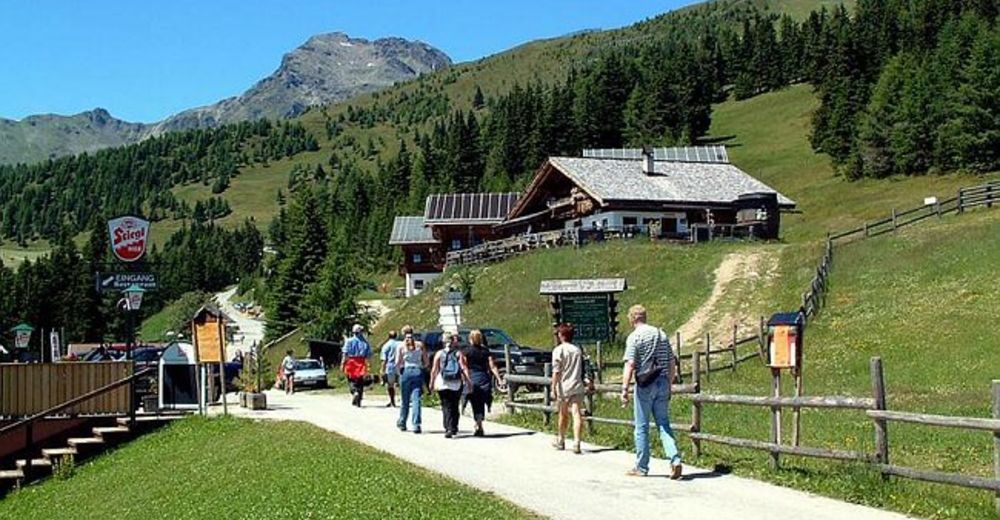
mehrere Einkehrmöglichkeiten am Zettersfeld
- Cartine
-
WK Lienzer Dolomiten und Umgebung, 1:25000, erhätlich im Tourismusbüro Lienz


GPS Downloads


Condizioni dei sentieri
Asfalto
Ghiaia
Prato
Foresta
Roccia
Esposta
Altri tour nelle regioni