© TVB Wipptal
© Tirol Werbung
Dati percorsi
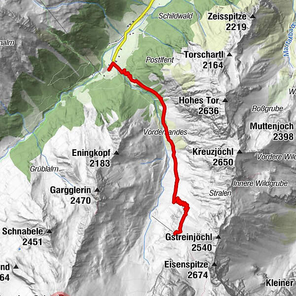
4,74km
1.279
- 2.058m
774hm
774hm
02:30h
- Descrizione rapida
-
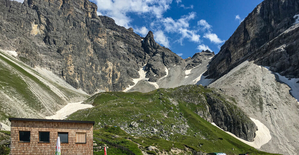
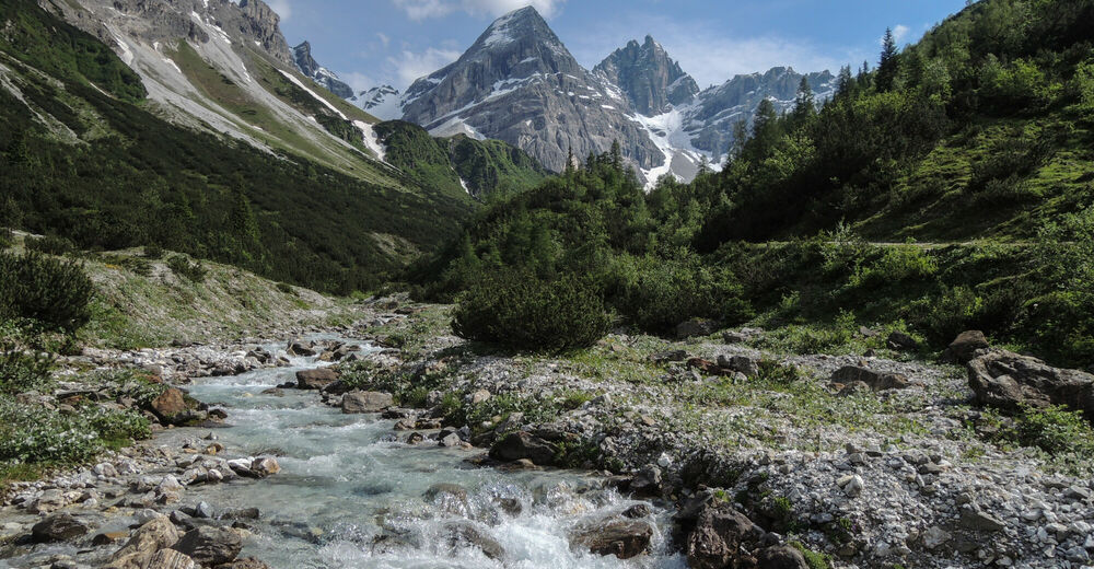
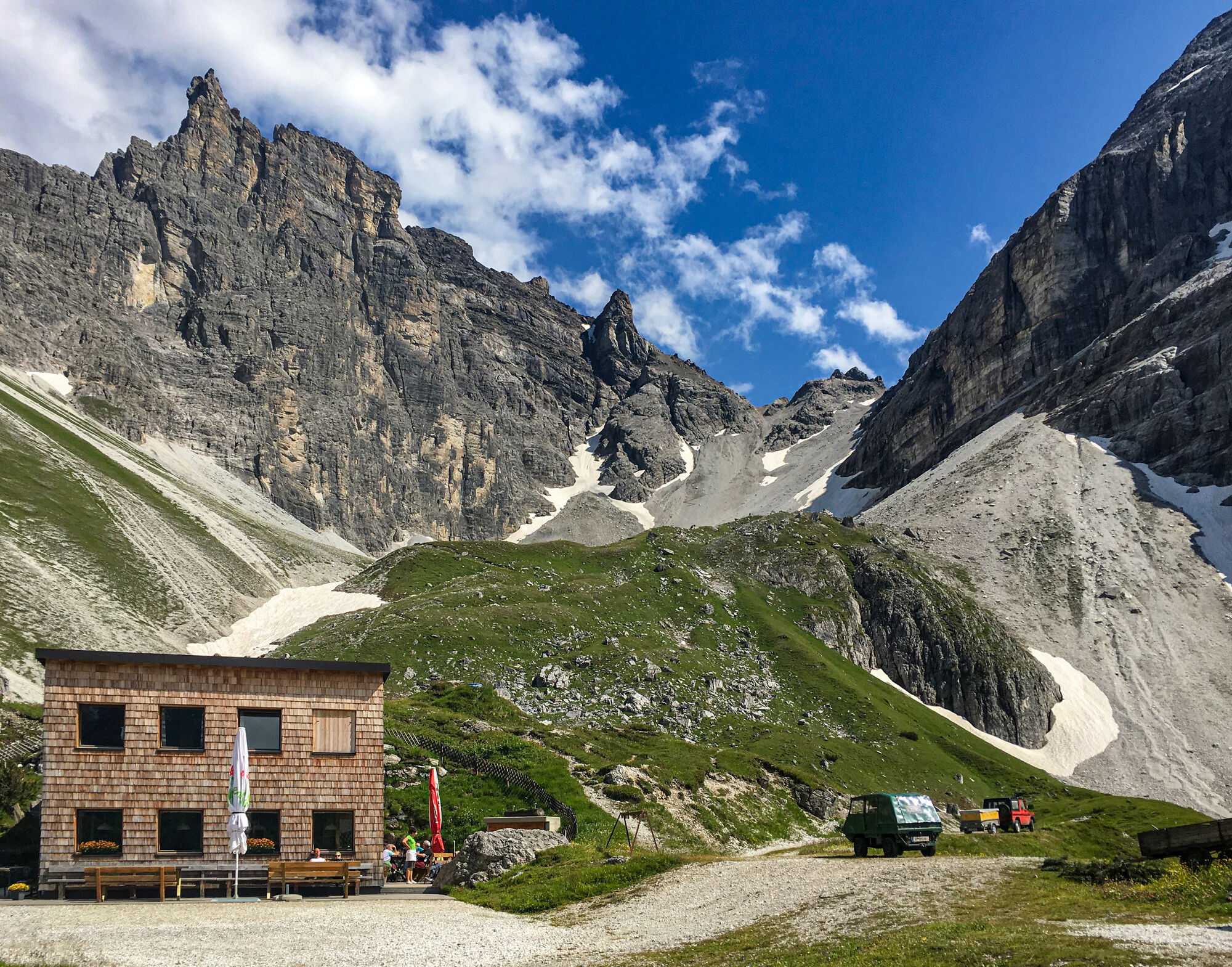
Der Gschnitzer- und Pflerscher Tribulaun wachen hoch über der Gschnitzer Tribulaunhütte. Imposante Gipfel sind zum Greifen nahe!
- Difficoltà
-
intermedio
- Valutazione
-
- Punto di partenza
-
Gschnitz
- Percorso
-
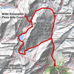
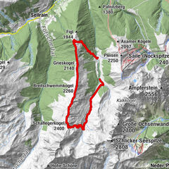
Feuerstein0,0 kmObertal0,1 kmAlmhütte Mühlendorf0,2 kmKapelle St. Josef0,2 kmTribulaunhaus4,7 km
- Punto più alto
- 2.058 m
- Destinazione
-
Gschnitzer Tribulaunhütte
- Riposo/Ritiro
-
Tribulaunhütte
- Cartine
-
Mayr Karte 1:35 000 Wipptal

GPS Downloads


Condizioni dei sentieri
Asfalto
Ghiaia
Prato
Foresta
Roccia
Esposta
Altri tour nelle regioni
-
Brixen und Umgebung
1973
-
Gschnitztal
1033
-
Gschnitz
330