

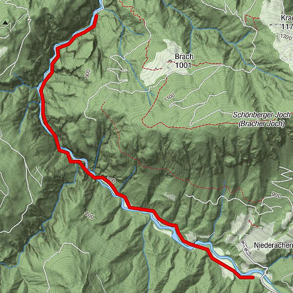
Dati percorsi
3,73km
591
- 719m
193hm
02:30h
- Descrizione rapida
-
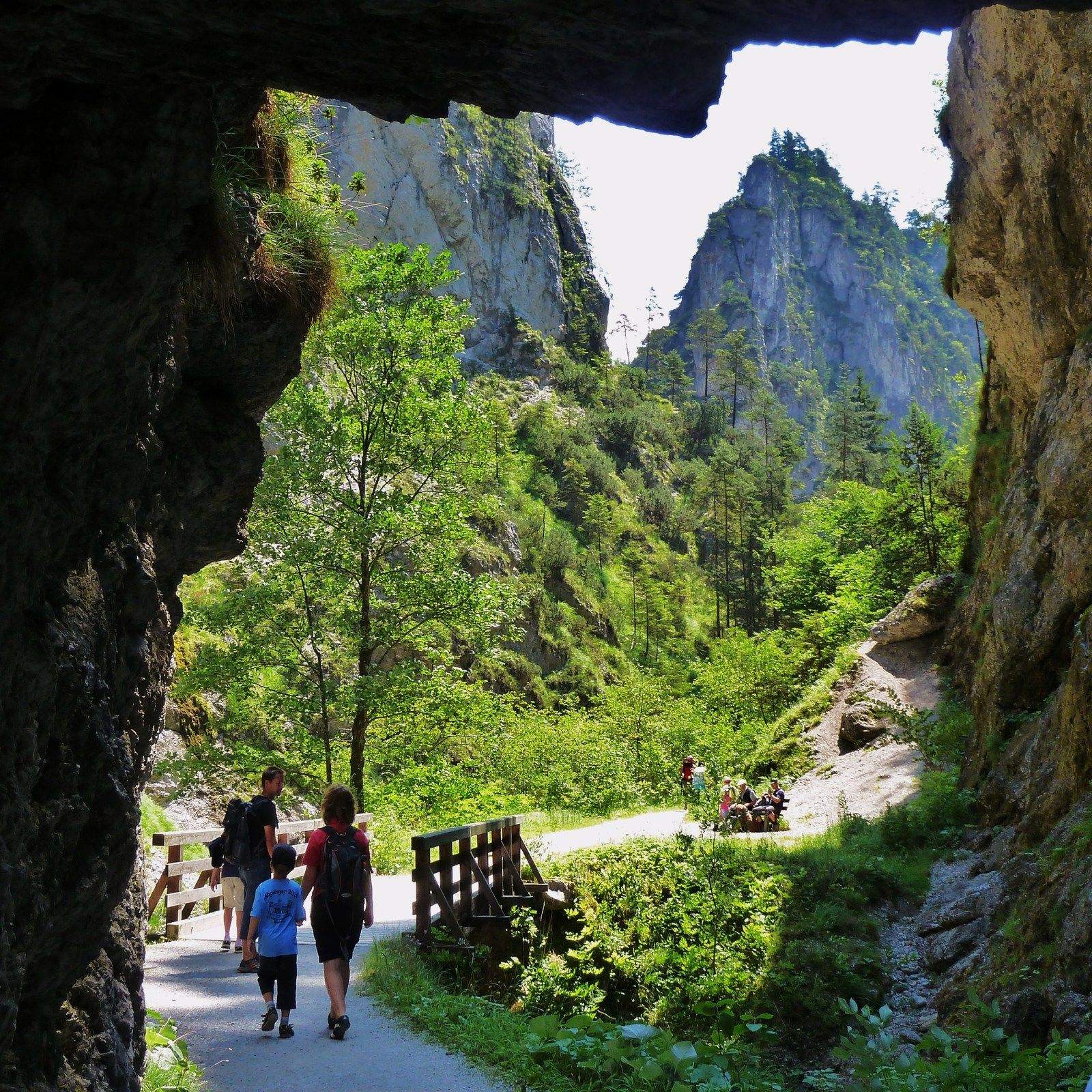
Leichte Wanderung für jedes Alter
- Difficoltà
-
facile
- Valutazione
-
- Punto di partenza
-
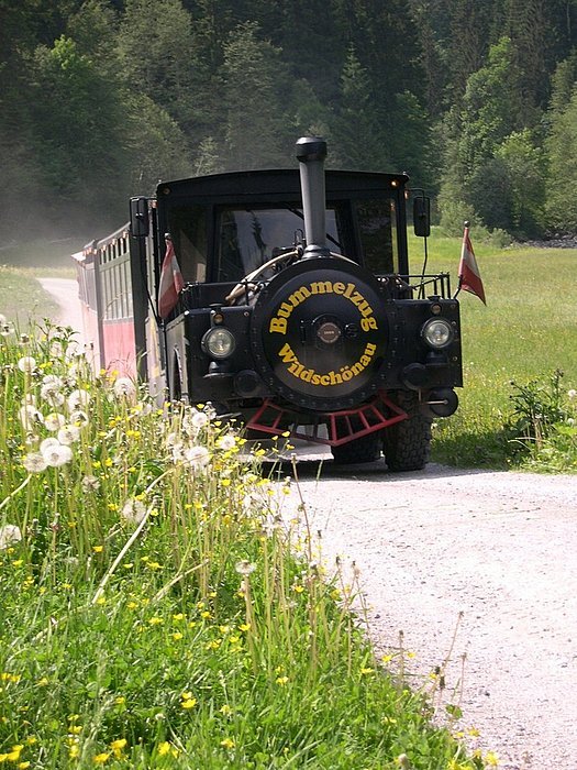
Mühltal - Wildschönau
- Percorso
-
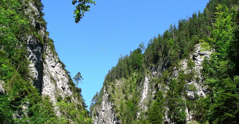
Gasthaus Kundler Klamm3,6 km
- La stagione migliore
-
genfebmaraprmaggiulugagosetottnovdic
- Punto più alto
- 719 m
- Destinazione
-
Kundl im Inntal
- Riposo/Ritiro
-
Jausenstation Waidmannsruh, Gasthof Klammrast, Gasthof Kundler Klamm.
- Videos

GPS Downloads


Condizioni dei sentieri
Asfalto
Ghiaia
Prato
Foresta
Roccia
Esposta
Altri tour nelle regioni
-
Wildschönau
1794
-
Kundl
453