
Dati percorsi
5,18km
2.153
- 2.320m
369hm
369hm
04:00h
- Descrizione rapida
-
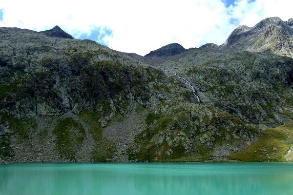
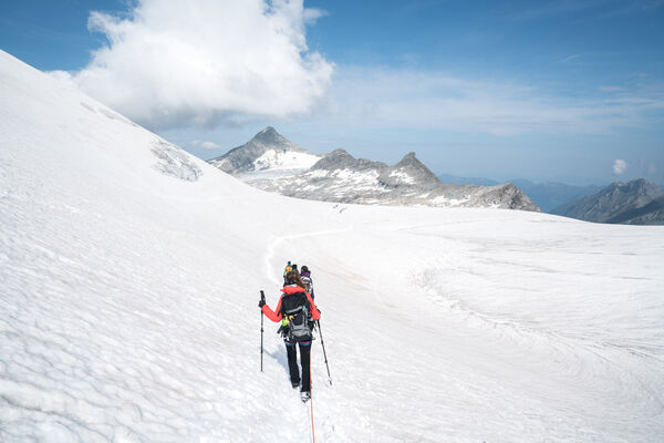
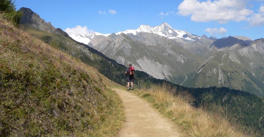
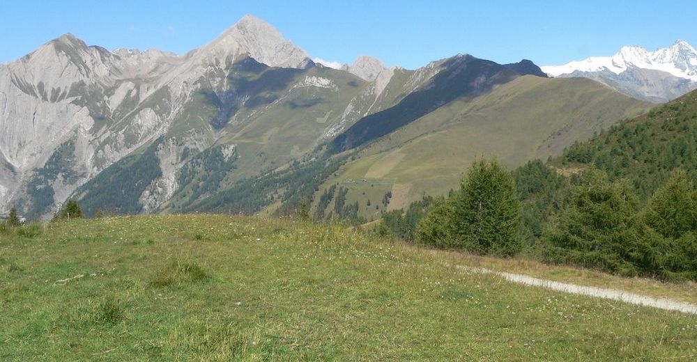
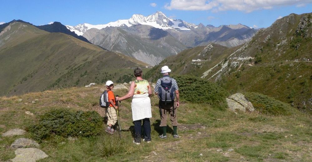
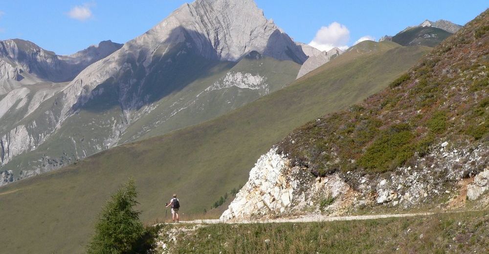
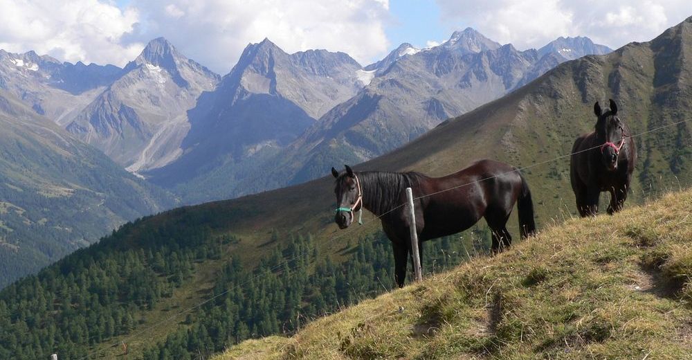
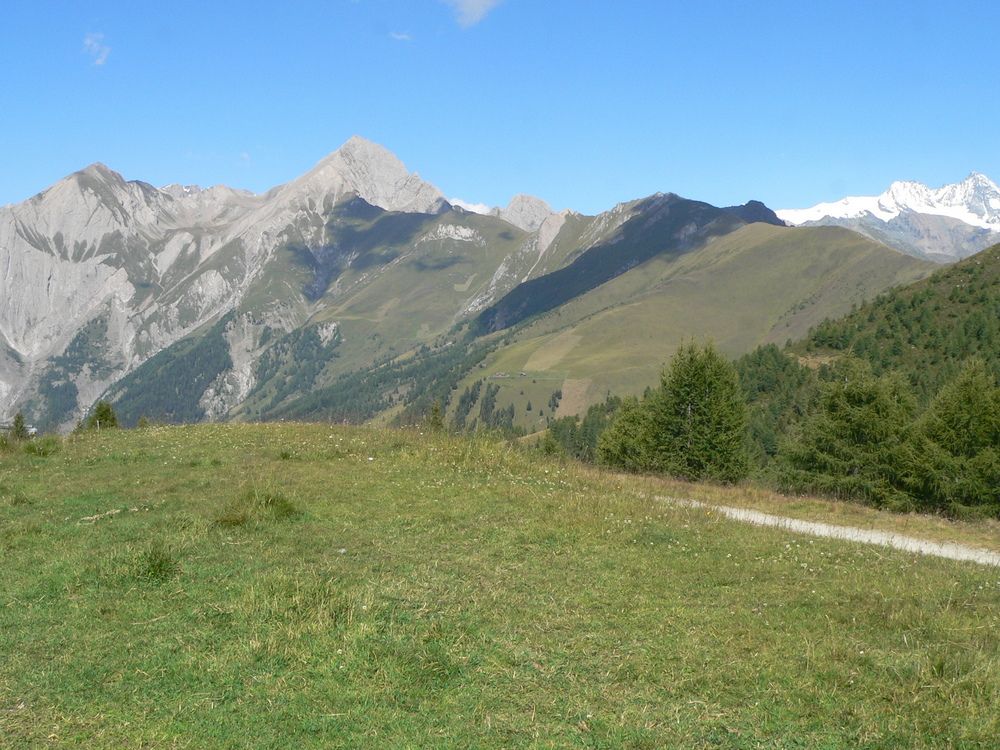
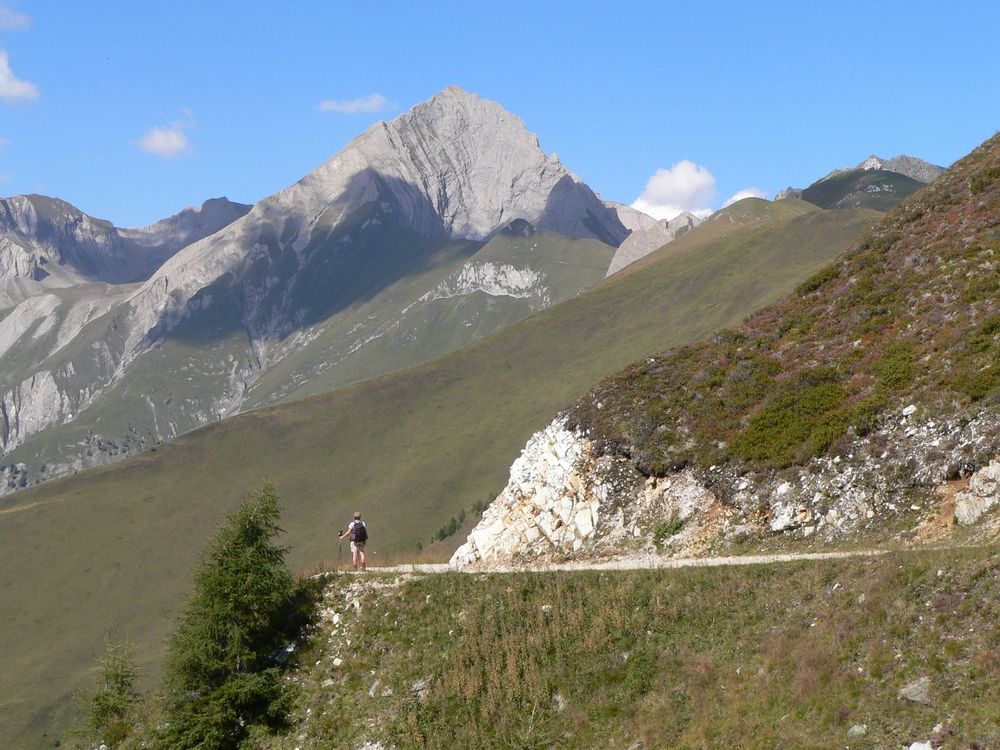
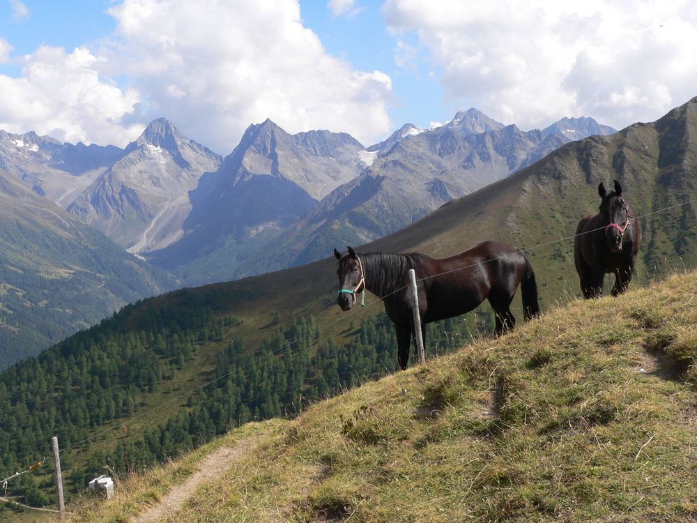
Leichte Wanderung im stetigen Bergauf und Bergab mit herrlichen Blick auf über 60 Dreitausender der Glockner-, Schober-, Granatspitz-, Venediger- und Lasörlinggruppe.
- Difficoltà
-
facile
- Valutazione
-
- Punto di partenza
-
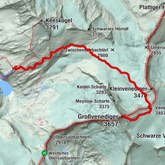
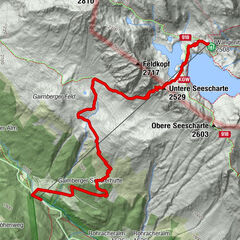
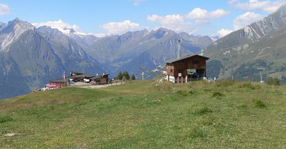
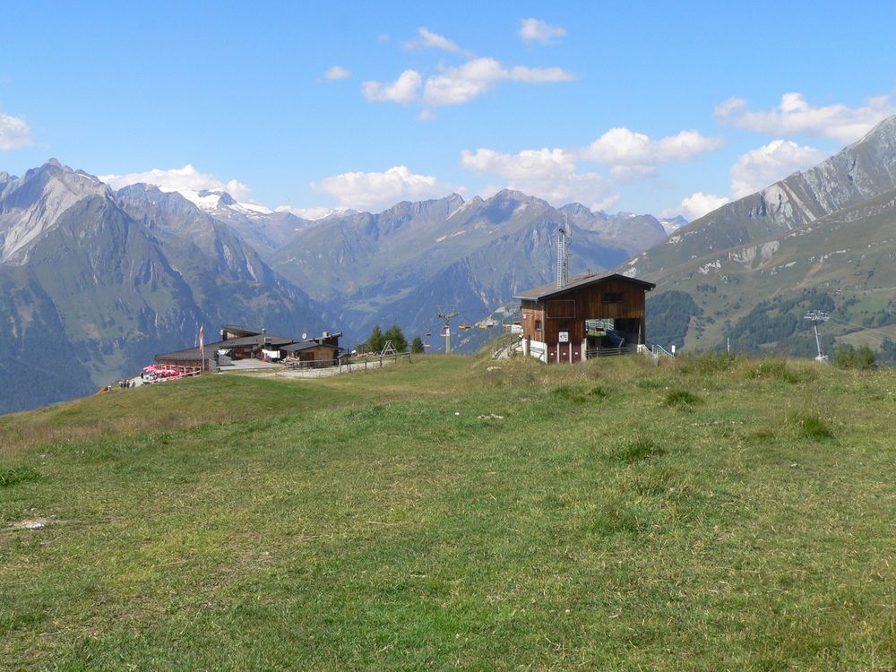
Bergstation der Matreier Goldried-Bergbahnen 2190 m
- Percorso
-
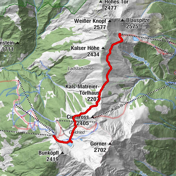
Kals-Matreier-Törl-Haus (2.207 m)3,0 kmBlauspitz5,1 km
- La stagione migliore
-
genfebmaraprmaggiulugagosetottnovdic
- Punto più alto
- 2.320 m
- Riposo/Ritiro
-
Kals-Matreier-Törlhaus 2207m
- Cartine
-
AV Karte Nr.39, Granatspitzgruppe, OeKarte Nr.152 Matrei und 153


- Fonte
- Sepp Gailhofer
GPS Downloads


Condizioni dei sentieri
Asfalto
Ghiaia
Prato
Foresta
Roccia
Esposta
Altri tour nelle regioni