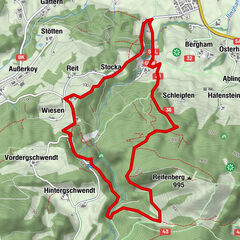
Dati percorsi
3,08km
587
- 666m
73hm
29hm
01:30h

- Descrizione rapida
-
Weg Nr. 1
Gehzeit ca. 1,5 Std. - Difficoltà
-
facile
- Valutazione
-
- Percorso
-
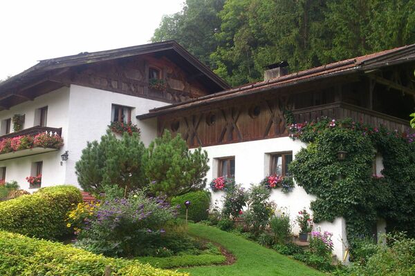
Heiliger Petrus und Paulus0,1 kmKössen0,1 kmHochschanz1,1 km
- La stagione migliore
-
genfebmaraprmaggiulugagosetottnovdic
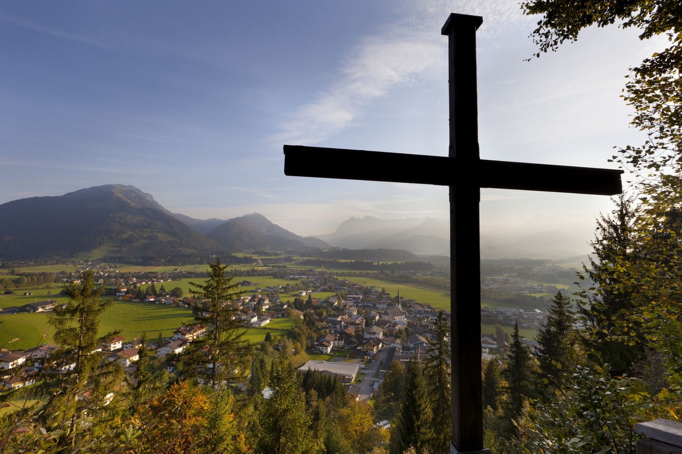
- Punto più alto
- 666 m
GPS Downloads


Condizioni dei sentieri
Asfalto
Ghiaia
Prato
Foresta
Roccia
Esposta
Altri tour nelle regioni
-
Kaiserwinkl
1883
-
Kössen
487