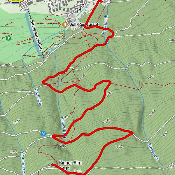
Dati percorsi
3,87km
945
- 1.426m
411hm
29hm
01:30h
- Difficoltà
-
intermedio
- Valutazione
-
- Percorso
-
Rinn (918 m)0,0 kmSchmiedweg0,5 kmKressbach0,6 kmSackelmanns Anger0,9 kmHansweg0,9 kmBrunnriese1,3 kmHüttenschrofen2,4 kmRinner Alm (1.394 m)3,8 km
- La stagione migliore
-
genfebmaraprmaggiulugagosetottnovdic
- Punto più alto
- 1.426 m
- Riposo/Ritiro
-
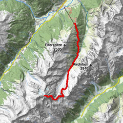
Rinner Alm
- Cartine
-
TVB Region Hall, Wallpachgasse 5, A - 6060 Hall in Tirol
GPS Downloads


Condizioni dei sentieri
Asfalto
Ghiaia
Prato
Foresta
Roccia
Esposta
Altri tour nelle regioni