

Dati percorsi
2,36km
2.201
- 2.410m
264hm
264hm
01:30h
- Descrizione rapida
-
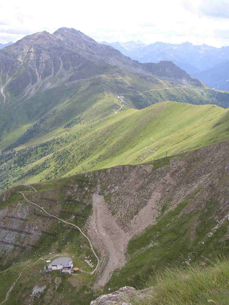
Lehrreiche Familienwanderung mit grandiosem Blick auf über 60 3000er Berggipfel.
- Difficoltà
-
facile
- Valutazione
-
- Punto di partenza
-
Bergstation Blauspitz
- Percorso
-
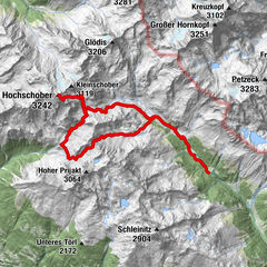
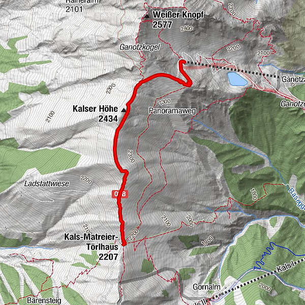
Kals-Matreier-Törl-Haus (2.207 m)0,0 kmKalser Höhe (2.434 m)1,2 kmBlauspitz2,3 km
- La stagione migliore
-
genfebmaraprmaggiulugagosetottnovdic
- Punto più alto
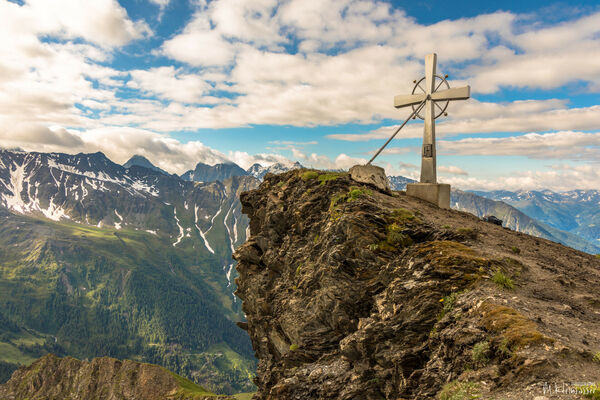
- 2.410 m
- Riposo/Ritiro
-
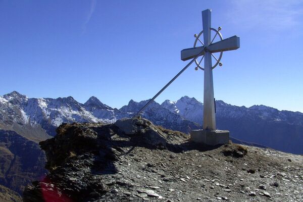
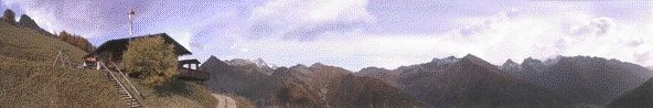
Panoramarestaurant Blauspitz
Kals-Matreier-Törl


GPS Downloads


Condizioni dei sentieri
Asfalto
Ghiaia
(Wanderweg)
Prato
Foresta
Roccia
Esposta
Altri tour nelle regioni