

© Hotel Lumbergerhof - Hotel Lumberger Hof

© Hotel Lumbergerhof - Hotel Lumberger Hof

© Wanderhotels - Hotel Lumberger Hof

© Hotel Lumbergerhof - Hotel Lumberger Hof

© Hotel Lumbergerhof - Hotel Lumberger Hof

© Hotel Lumbergerhof - Hotel Lumberger Hof

- Descrizione rapida
-
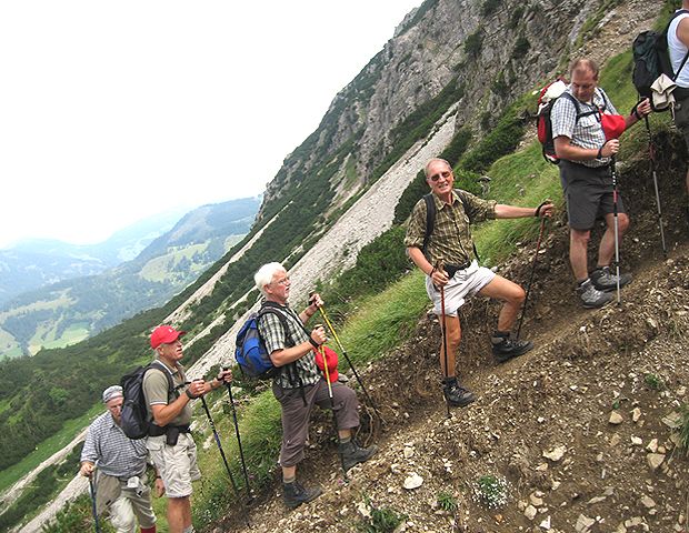
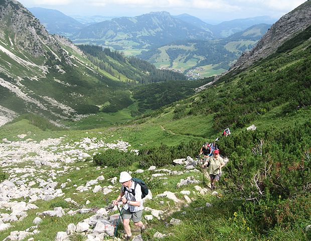
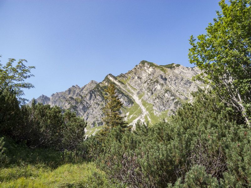
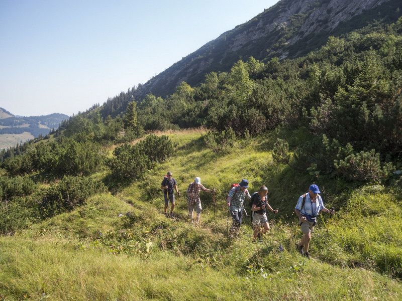
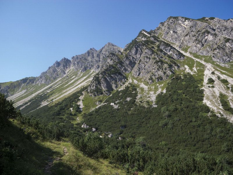
Walk on narrow mountain path. Very few hikers are on the road. Beautiful alpine flowers and chamois often to be seen.
- Percorso
-
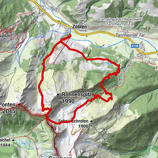
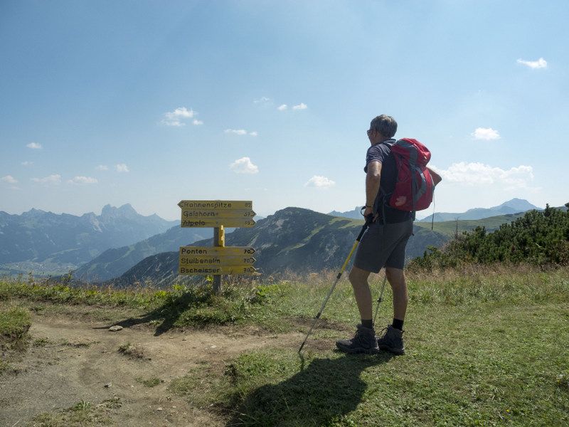
Zöblen (1.087 m)Restaurant Auszeit0,1 kmSchutzhütte Bergwacht Tirol3,8 kmZirleseck (1.872 m)4,1 kmKöllesattel (1.825 m)4,3 kmÄlpele6,0 kmRestaurant Auszeit12,3 kmZöblen (1.087 m)12,5 km
- Punto più alto
- 1.867 m
- Profilo altimetrico
-

-

-
AutoreIl tour Pontental - Zirleseck - Älple 1860 m è utilizzato da outdooractive.com fornito.
GPS Downloads


Altri tour nelle regioni
-
Allgäu
2357
-
Tannheimer Tal
1454
-
Schattwald - Zöblen
502


