© Tourismusverband Wipptal - Benjamin Jenewein
© Tourismusverband Wipptal - Benjamin Jenewein
© Tourismusverband Wipptal - Benjamin Jenewein
© Tourismusverband Wipptal - Benjamin Jenewein
© Tourismusverband Wipptal - Benjamin Jenewein
© Tourismusverband Wipptal - Benjamin Jenewein
© Tourismusverband Wipptal - Benjamin Jenewein
© Tourismusverband Wipptal - Benjamin Jenewein
© Tourismusverband Wipptal - Benjamin Jenewein
© Tourismusverband Wipptal - Benjamin Jenewein

- Descrizione rapida
-
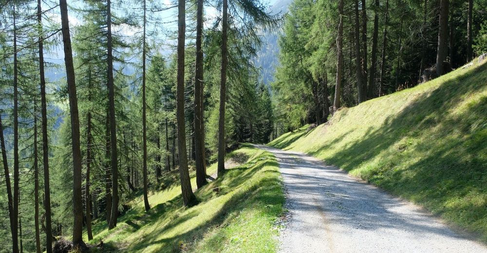
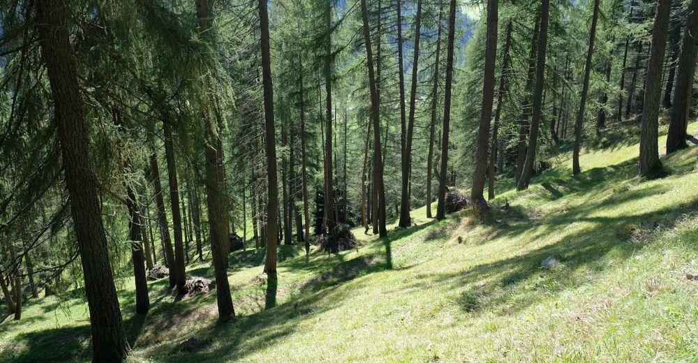
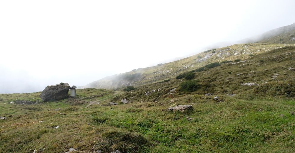
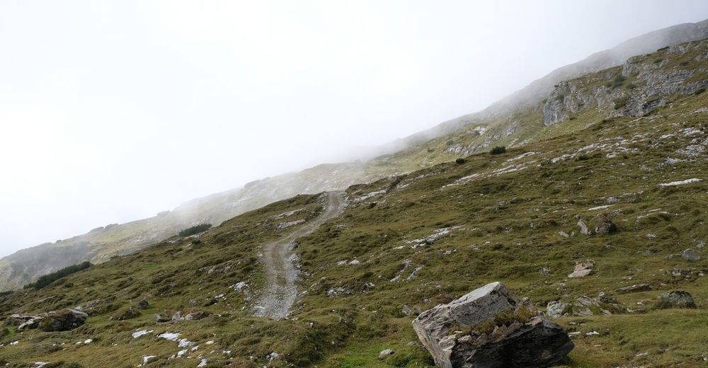
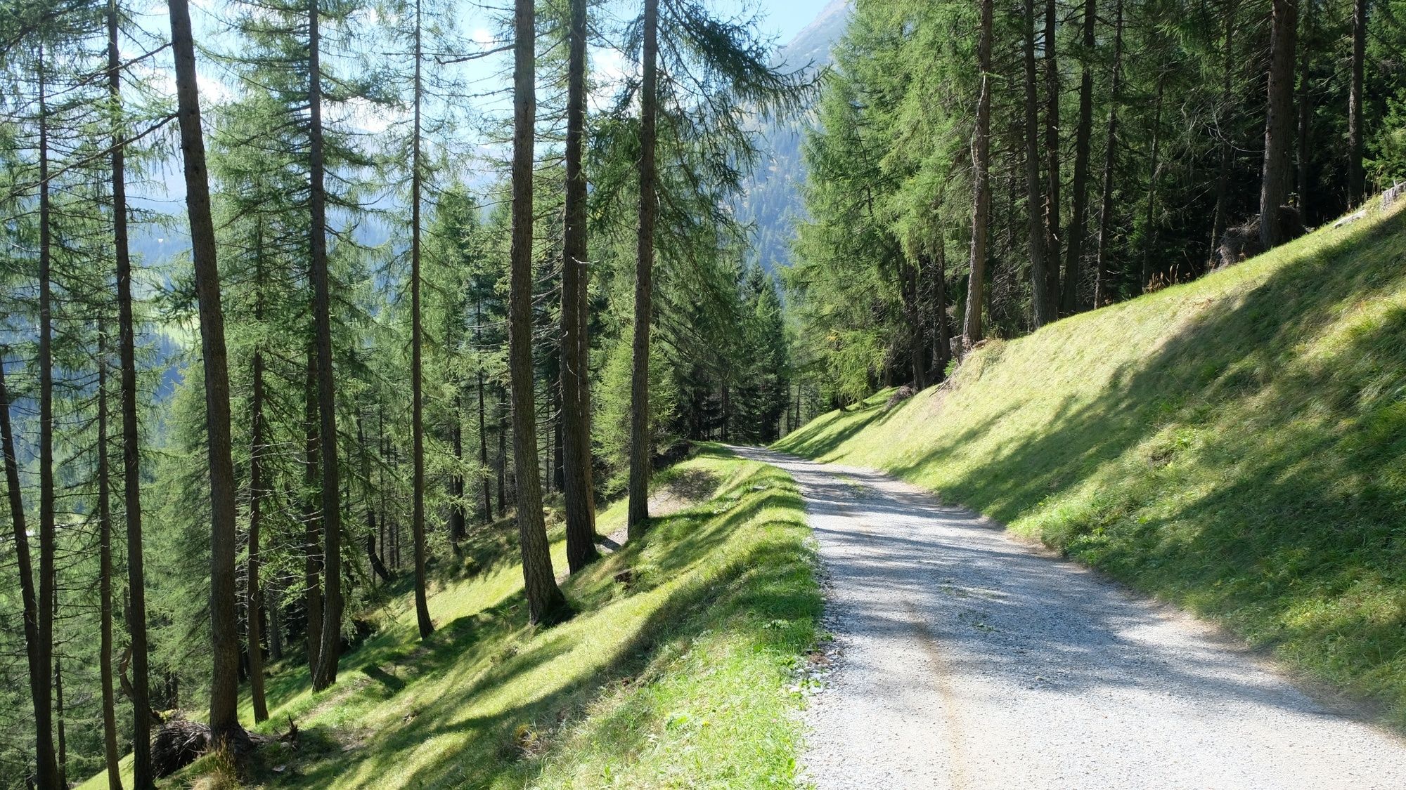
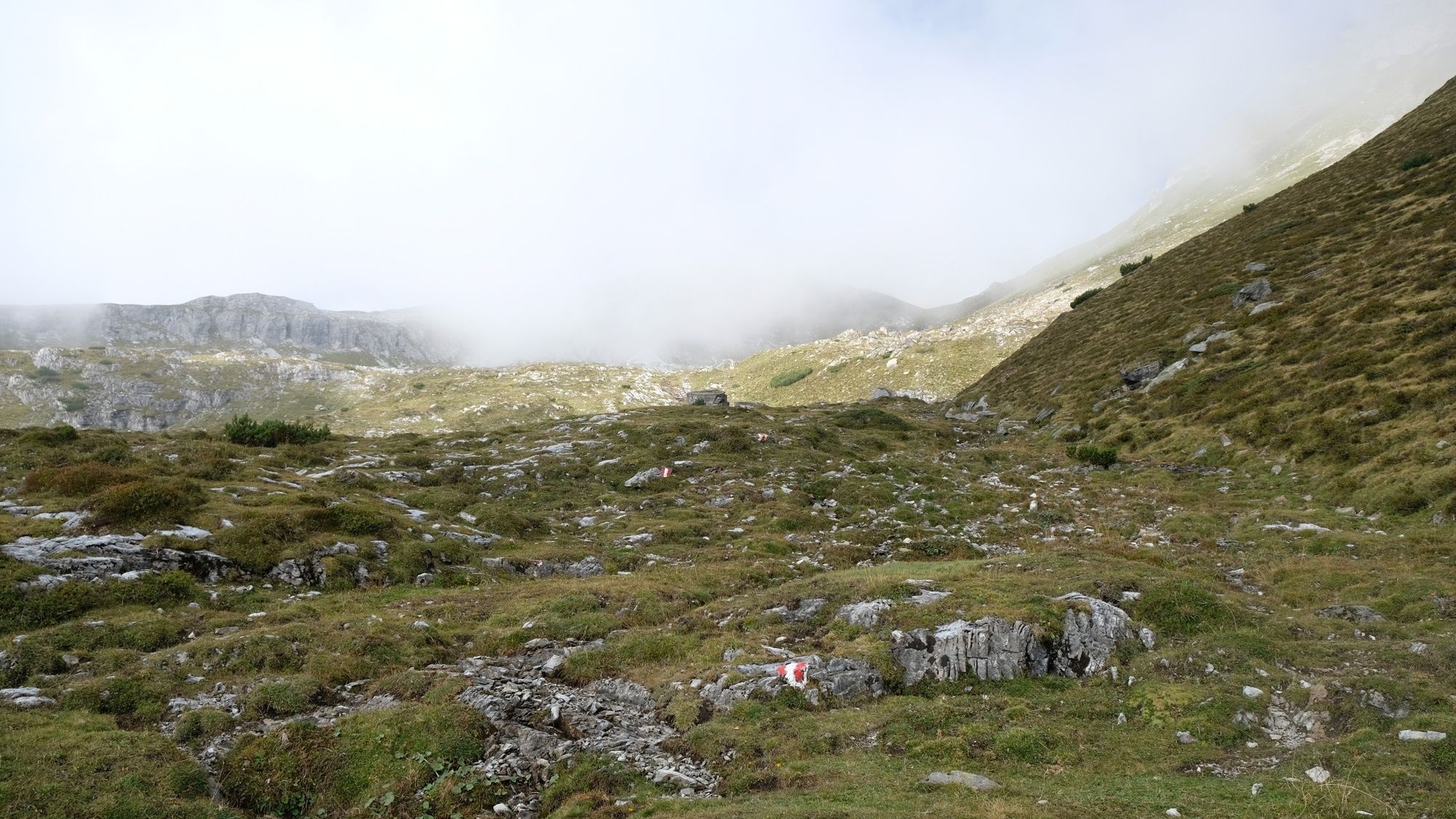
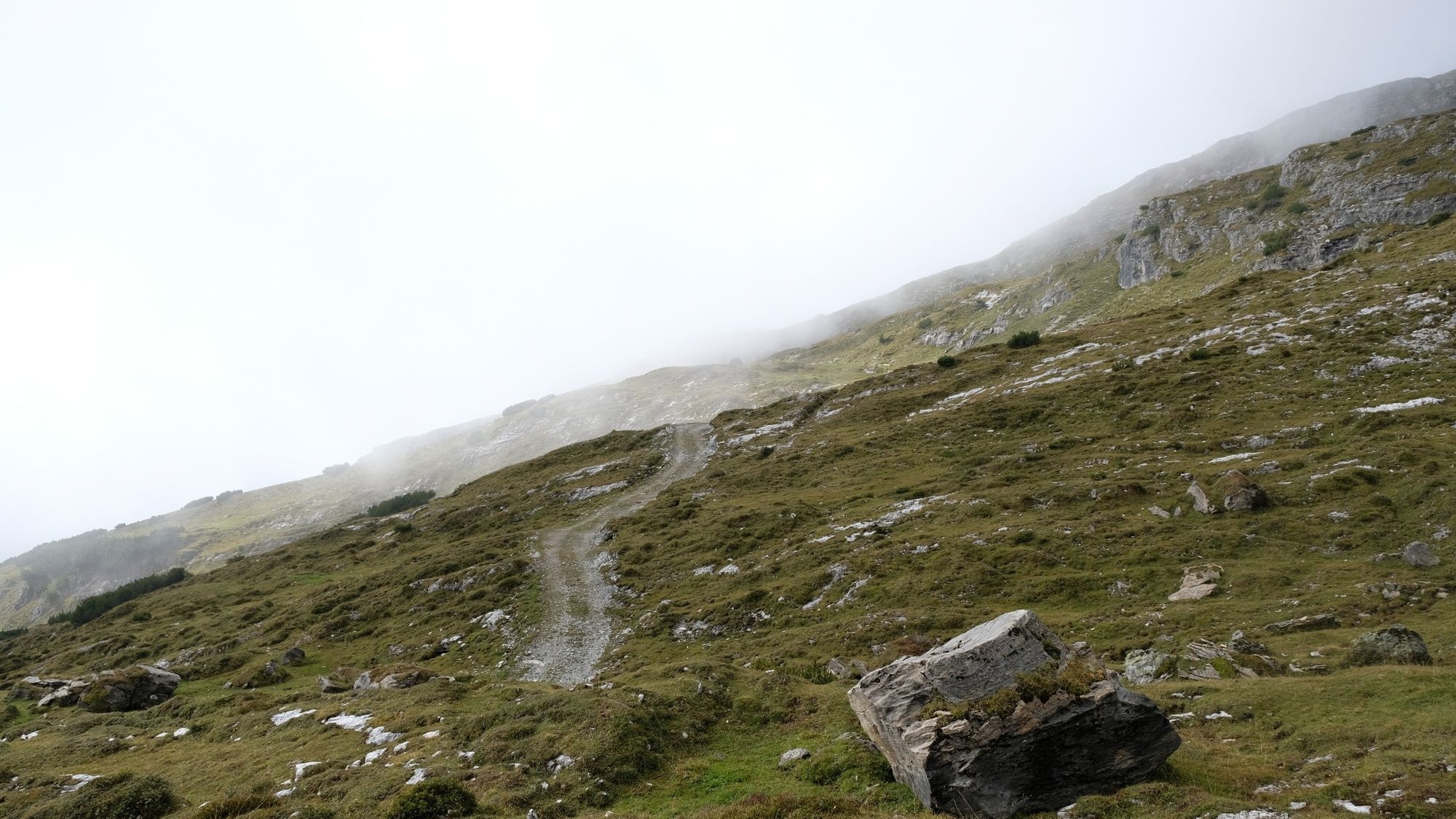
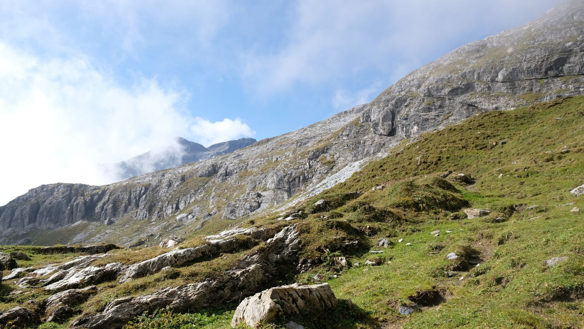
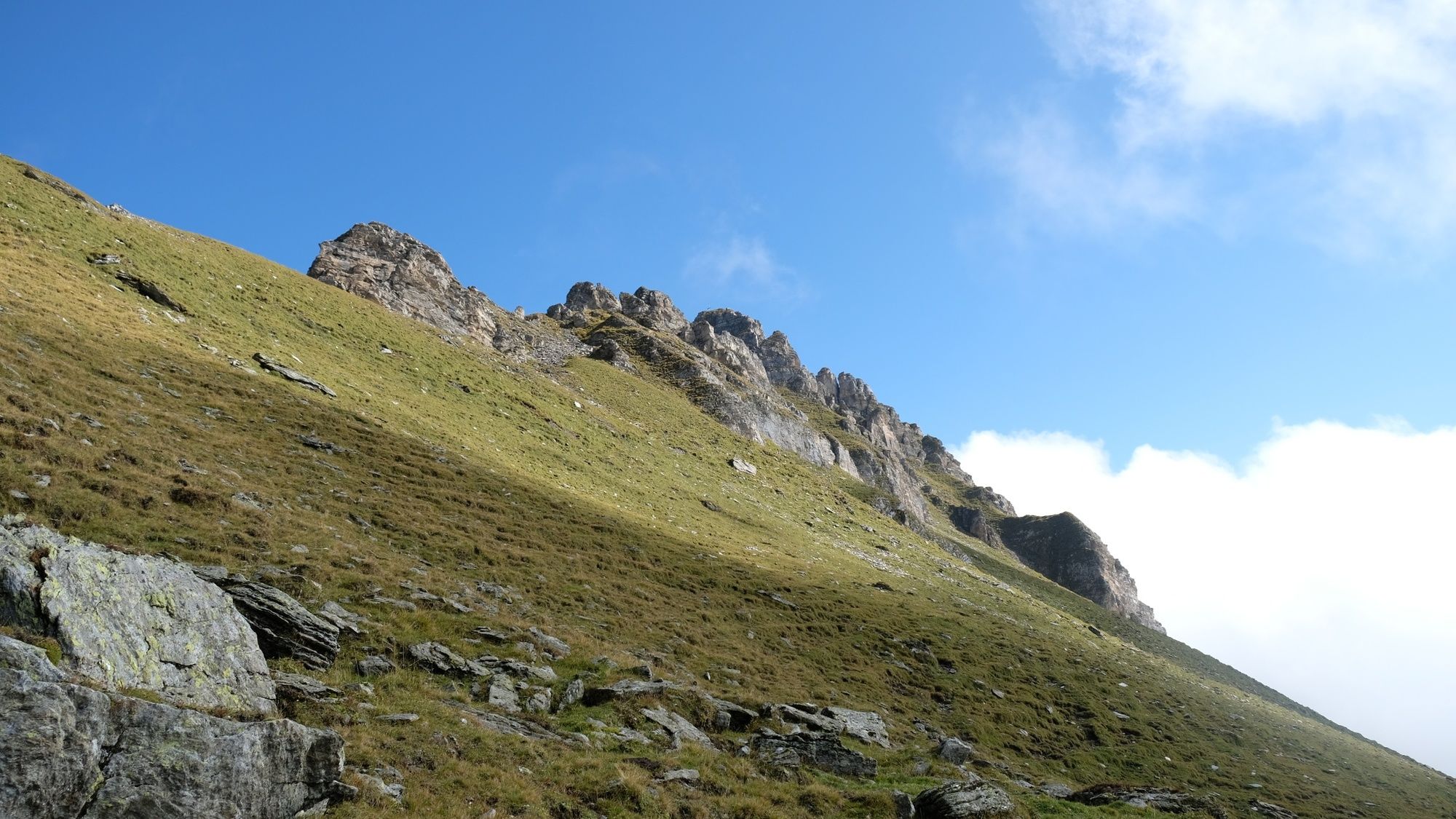
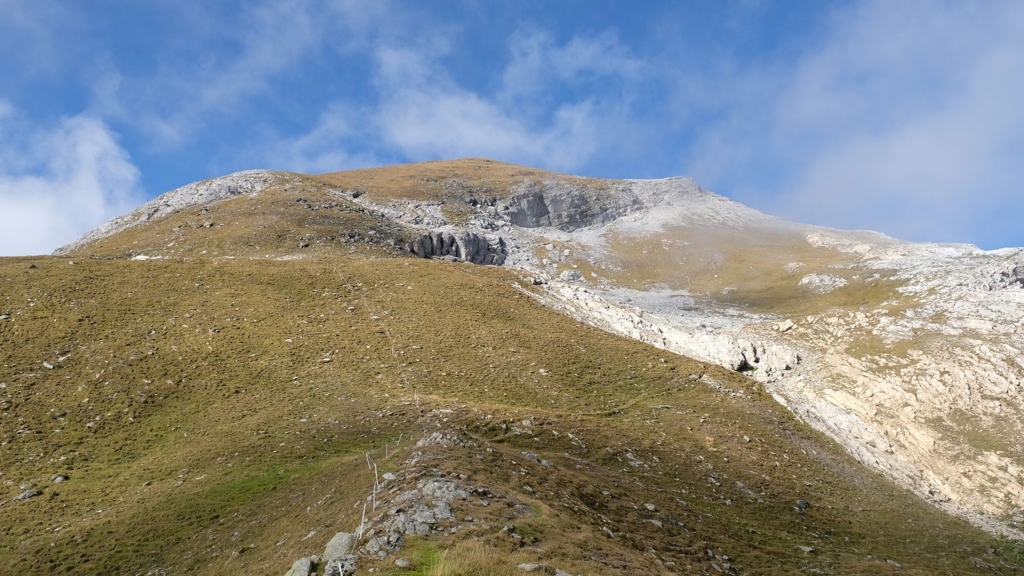
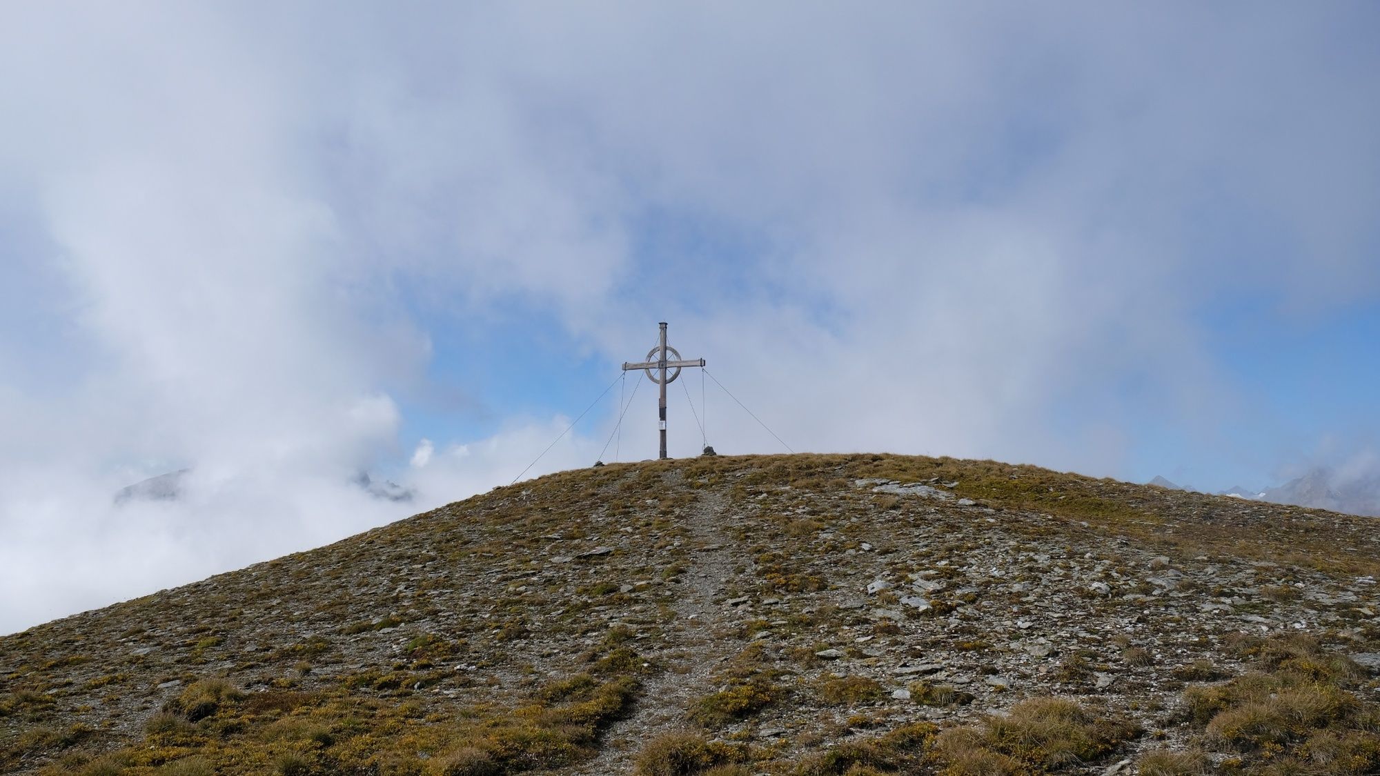
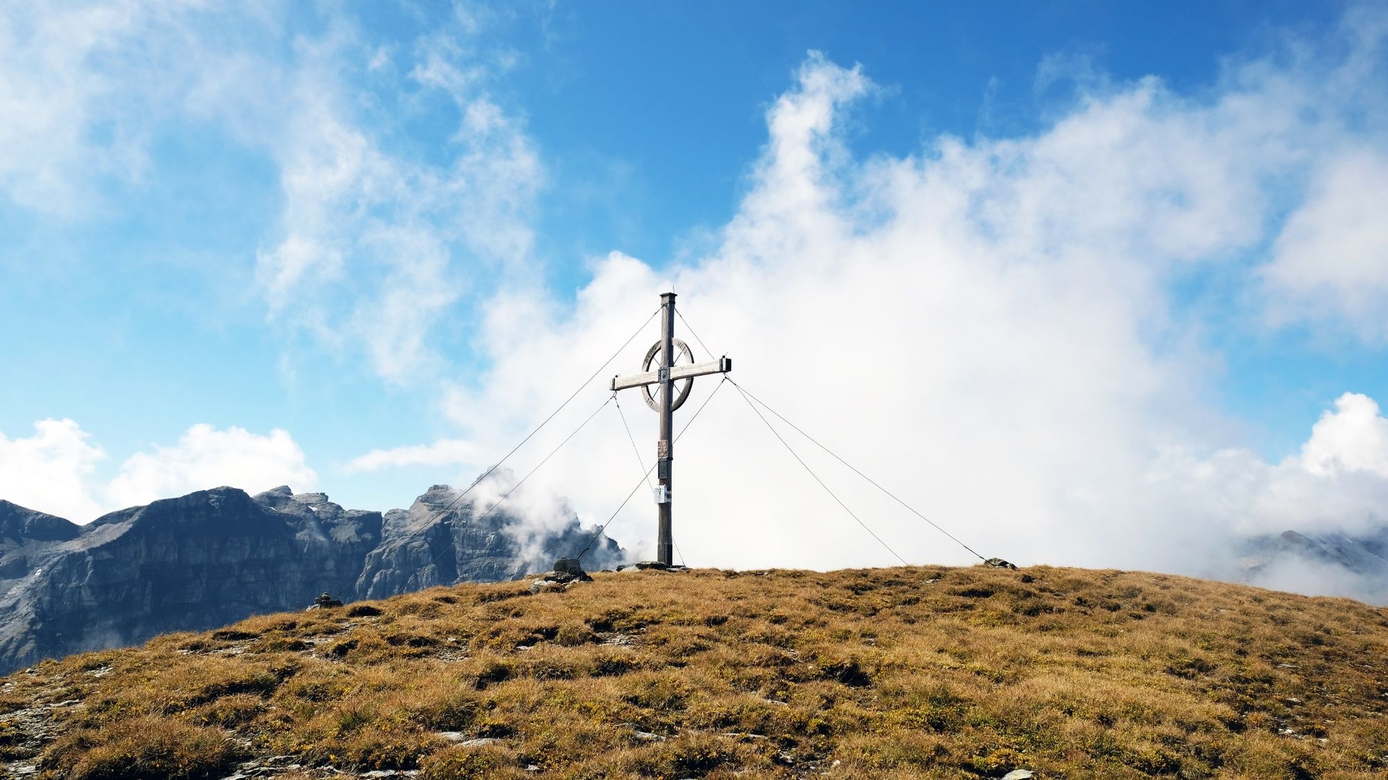
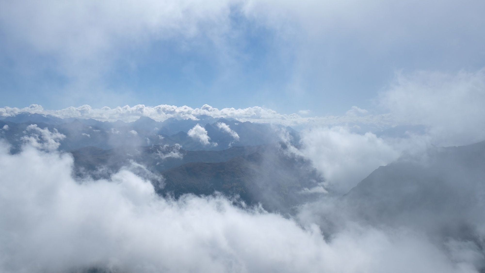
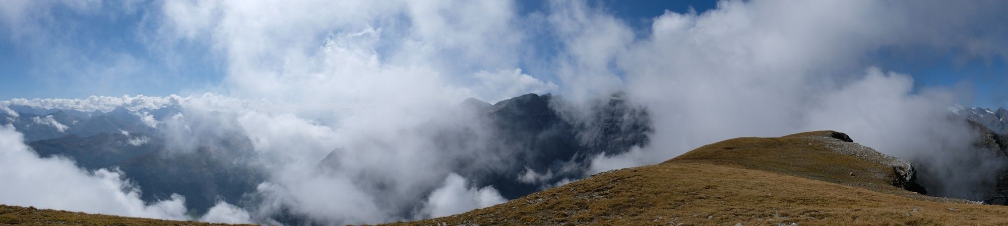
Stille, wunderschöne Bergtour entlang von Bergmähdern, Almen und Hochlegern auf den Muttenkopf, mit tollem Ausblick auf das Wipptal und die Stubaier Bergwelt
- Difficoltà
-
intermedio
- Valutazione
-
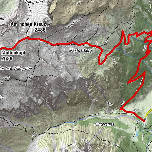
- Percorso
-
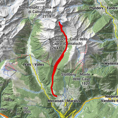
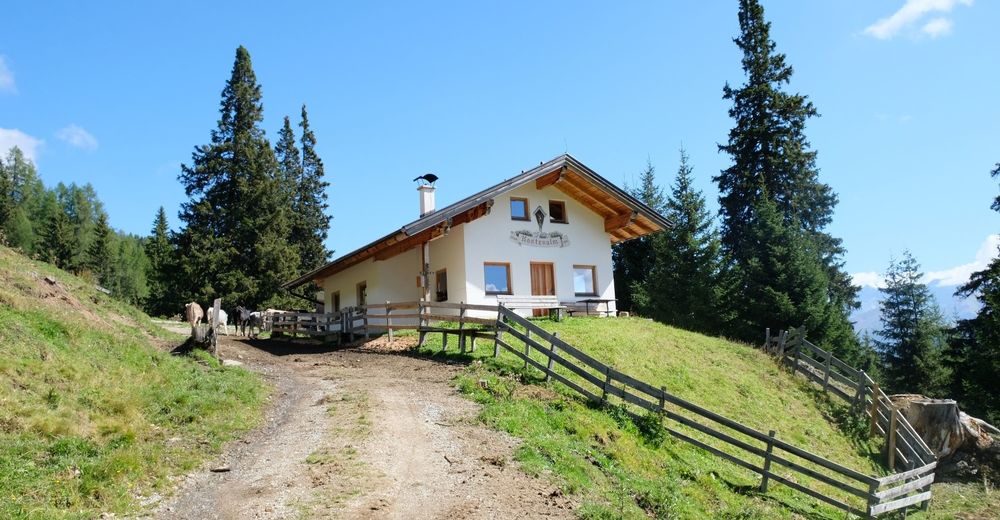
Gasthof WaldesruhKastnerbergalm (1.720 m)2,9 kmMuttenjoch (2.398 m)6,4 kmMuttenkopf (2.638 m)7,0 km
- La stagione migliore
-
genfebmaraprmaggiulugagosetottnovdic
- Punto più alto
- 2.627 m
- Destinazione
-
Parkplatz Obernberger See
- Profilo altimetrico
-


-

-
AutoreIl tour Muttenkopf è utilizzato da outdooractive.com fornito.
GPS Downloads


Info generali
Suggerimento
Flora
Promettente
Altri tour nelle regioni
-
Brixen und Umgebung
1976
-
Gschnitztal
1039
-
Obernberg am Brenner
249