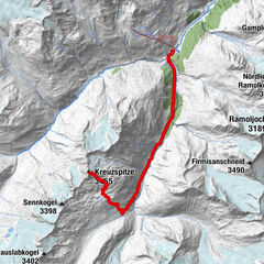
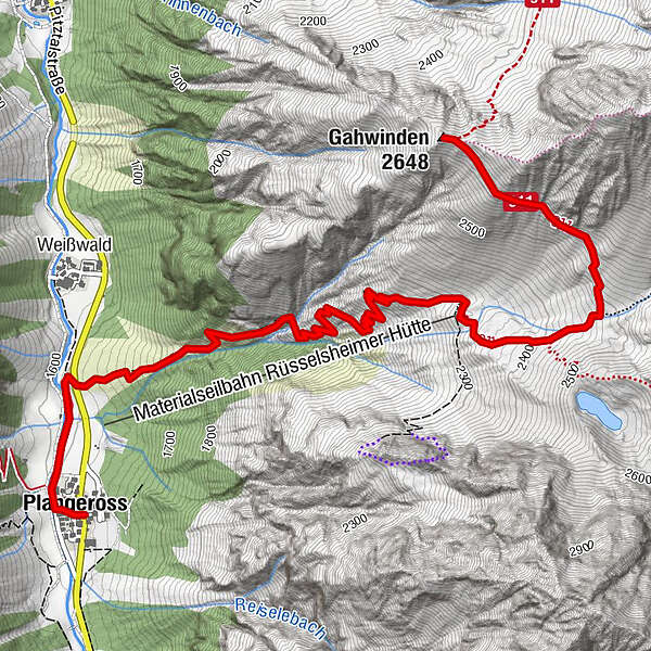
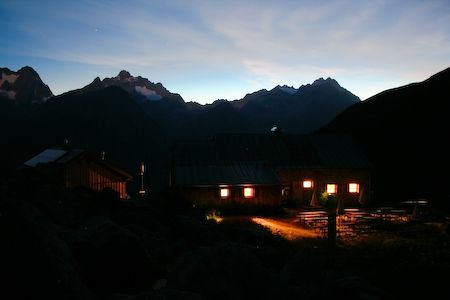
Rüsselsheimer hut 2328 m - Gahwinden 2646 m

Escursionismo


- Descrizione rapida
-
To the Rüsselsheimerhütte on a good lined way on arduous area. Over a river there are catenae. From the Rüsselsheimer hut there is a way to the viewpoint Gahwinden. There you have a wonderful view to the Watzespitze and to the Verpeilspitze in the west. Just for trained hiker.
- Percorso
-
Pfarrkirche Plangeross0,0 kmPlangeross0,0 kmRüsselsheimer Hütte3,4 kmGahwinden (2.648 m)5,3 km
- Punto più alto
- 2.627 m
- Profilo altimetrico
-


- Autore
-
Il tour Rüsselsheimer hut 2328 m - Gahwinden 2646 m è utilizzato da outdooractive.com fornito.
GPS Downloads


Altri tour nelle regioni