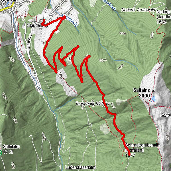
Dati percorsi
5,81km
1.477
- 1.732m
429hm
459hm
01:30h
- Descrizione rapida
-
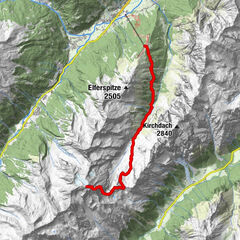
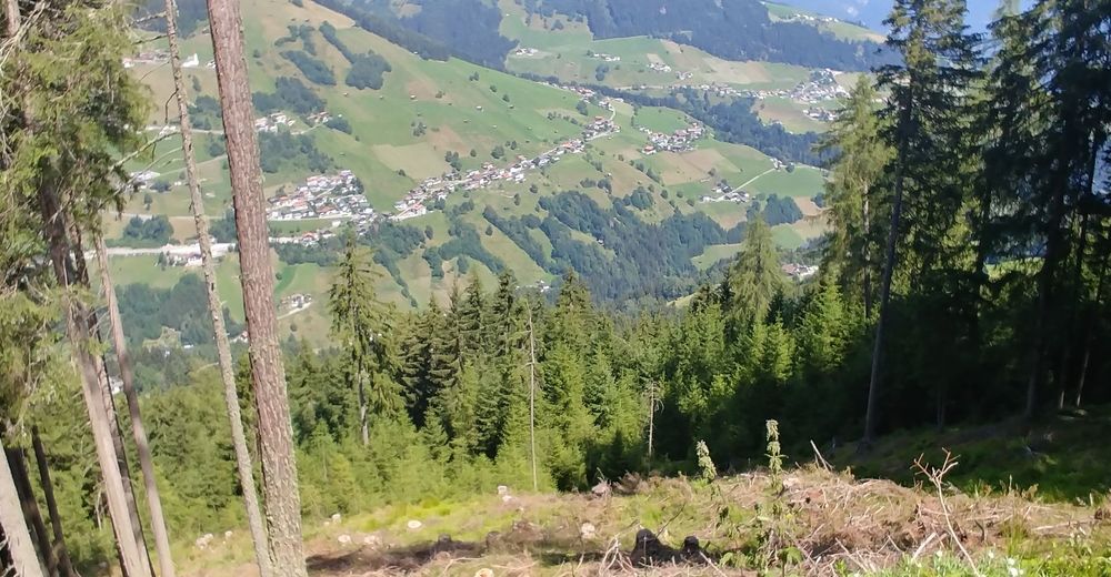
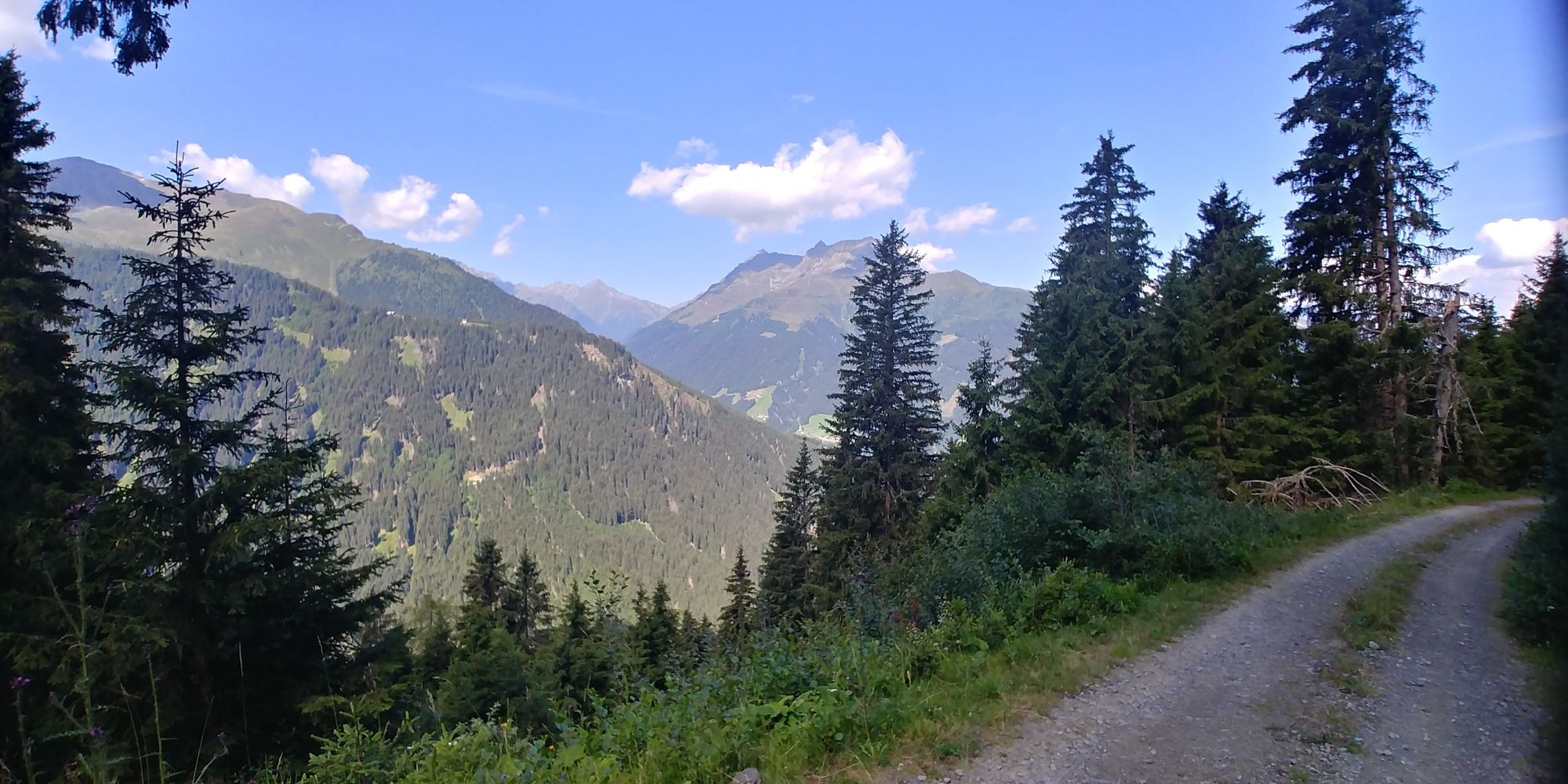
Forstweg von Tanneben auf den östlichen Hängen des Fotschertals.
- Difficoltà
-
facile
- Valutazione
-
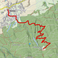
- Punto di partenza
-
Tanneben
- Percorso
-
Tanneben5,7 km
- La stagione migliore
-
genfebmaraprmaggiulugagosetottnovdic
- Punto più alto
- 1.732 m
- Destinazione
-
oberhalb Schmalzgrube - Ausgangspunkt für Tour 'Schönanger'

- Fonte
- Franz
GPS Downloads


Condizioni dei sentieri
Asfalto
Ghiaia
Prato
Foresta
Roccia
Esposta