

© TVB Wilder Kaiser

© TVB Wilder Kaiser - Gashof Rigi/Familie Eisenmann

© TVB Wilder Kaiser

© TVB Wilder Kaiser - Kraftalm/defrancesco

© TVB Wilder Kaiser - TVB Wilder Kaiser/Elmar Bichler


- Descrizione rapida
-
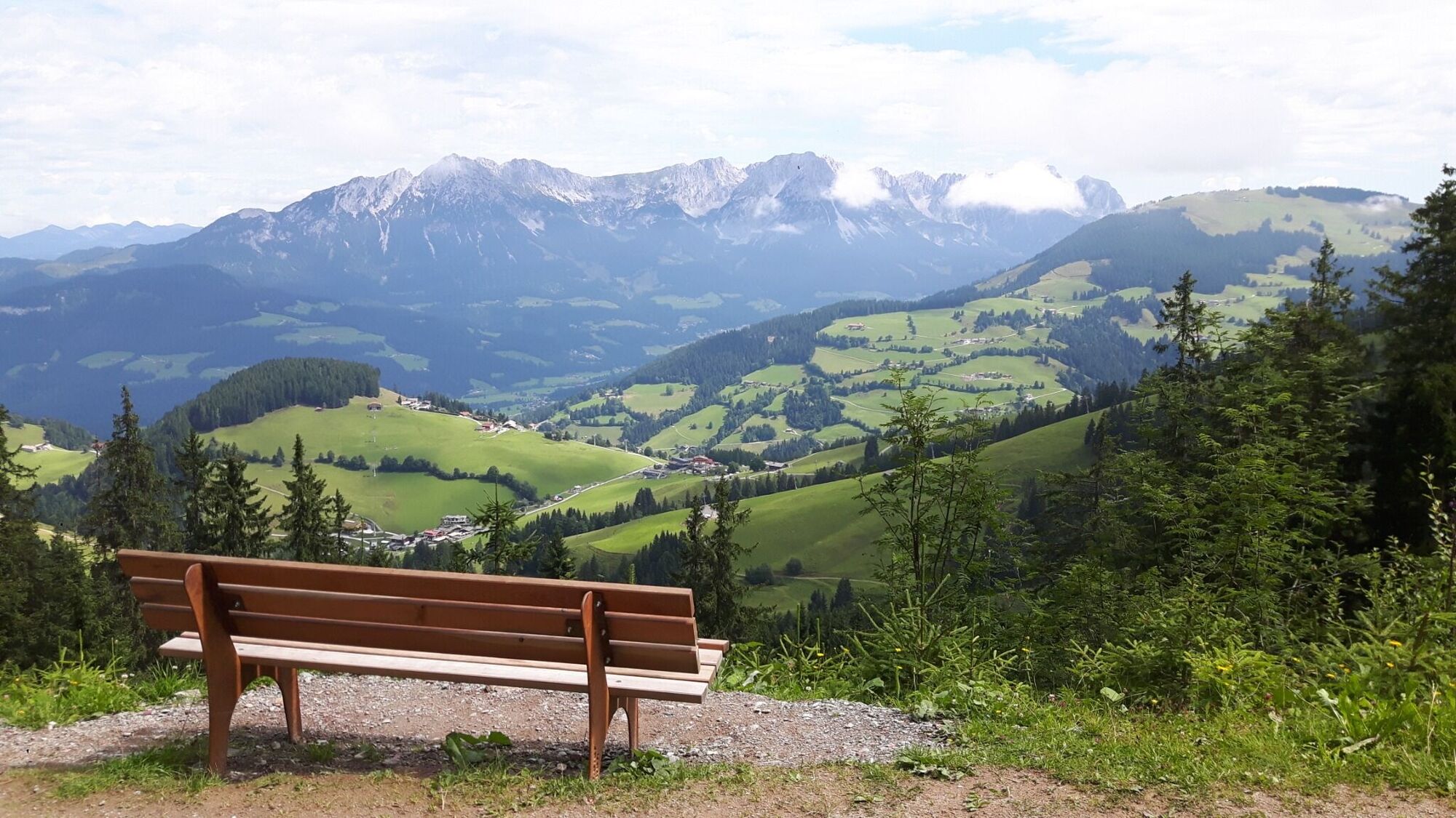
Enjoy the scenic area of the Hohe Salve where the Söll waters originate.
- Difficoltà
-
intermedio
- Valutazione
-
- Percorso
-
Hochsöll0,0 kmSiller-Keat (1.500 m)2,4 kmKälbersalve Alm3,5 kmJausenstation Kälberalm5,7 kmKapelle7,4 kmHochsöll10,2 km
- La stagione migliore
-
genfebmaraprmaggiulugagosetottnovdic
- Punto più alto
- 1.603 m
- Destinazione
-
Exit Keat chairlift, Söll (1,533 m)
- Profilo altimetrico
-


- Autore
-
Il tour Quellen circular route è utilizzato da outdooractive.com fornito.
GPS Downloads


Info generali
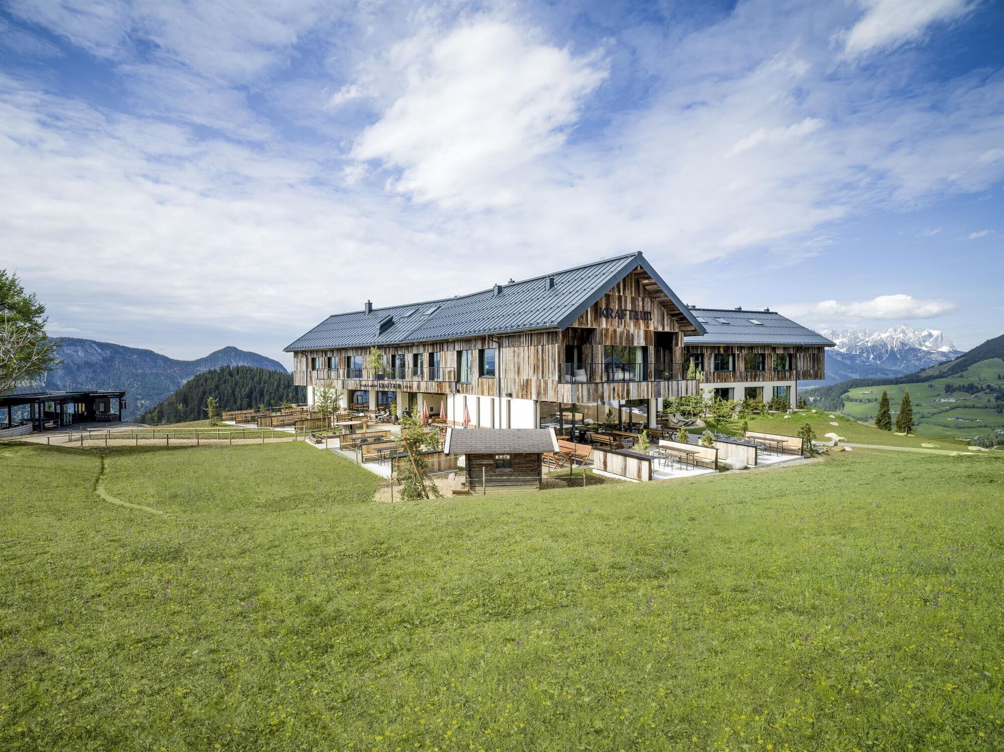
Punto di ristoro
Suggerimento
Promettente
Altri tour nelle regioni
-
Region Hohe Salve
1812
-
Söll
608


