
© EVAdinarica Project - EVA dinarica
© EVAdinarica Project - EVA dinarica

- Descrizione rapida
-
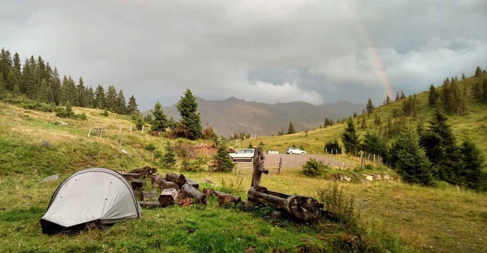
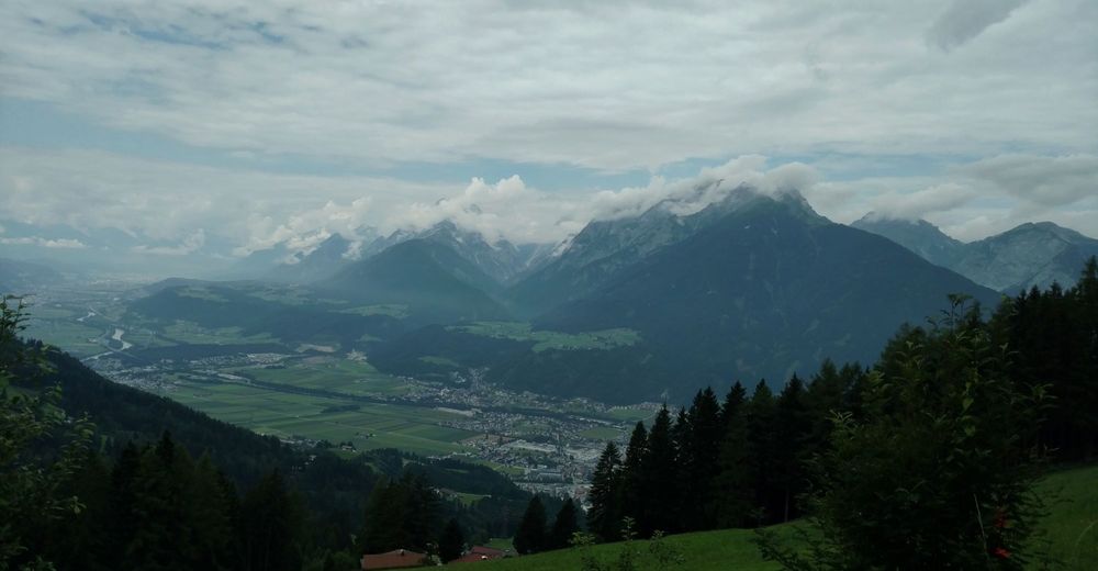
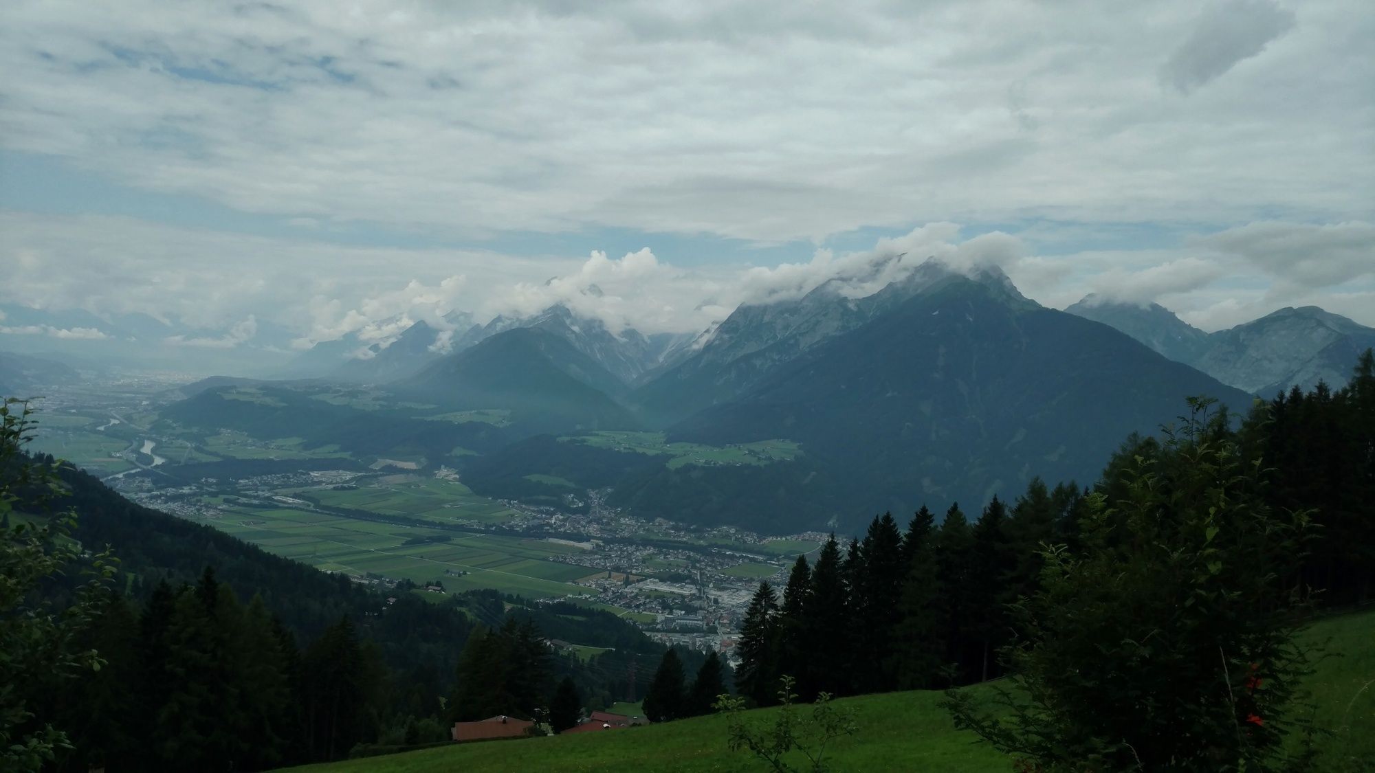
Hiking from Amsterdam to the Balkans: Via Alpina Red Trail R55 - R5 (Feldkirch to Predjama), this is my 19th stage in Austria.
- Difficoltà
-
facile
- Valutazione
-
- Percorso
-
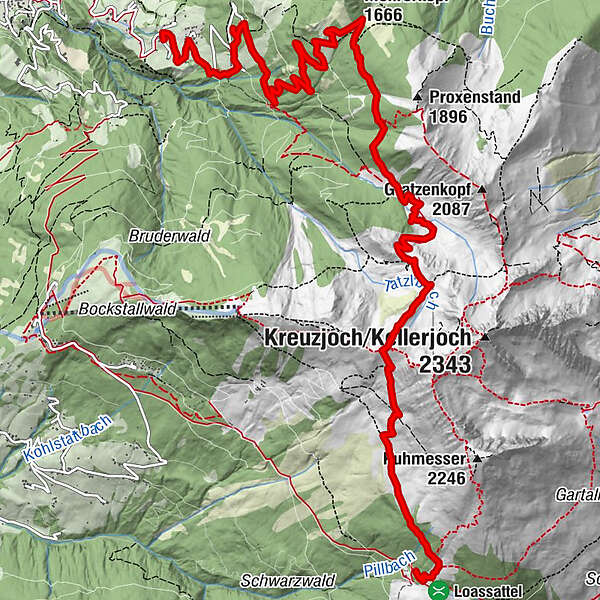
Obere Zintbergkapelle0,0 kmPfitscher0,0 kmPirchner Ast2,3 kmProxn Alm (1.663 m)7,7 kmProxenalm7,7 kmProxenalm Hochleger9,6 km
- La stagione migliore
-
genfebmaraprmaggiulugagosetottnovdic
- Punto più alto
- 2.075 m
- Profilo altimetrico
-


-

-
AutoreIl tour Via Alpina: Schwaz - Loassattel (day 96) è utilizzato da outdooractive.com fornito.
GPS Downloads


Info generali
Punto di ristoro
Promettente
Altri tour nelle regioni
-
Silberregion Karwendel
1344
-
Buch in Tirol
454


