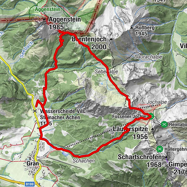
Gräner Höhenweg circular hike (awarded the Tyrolean mountain path quality seal)

Escursionismo

© Tannheimer Tal - Ehn Wolfgang

© Tannheimer Tal - Ehn Wolfgang

© Tannheimer Tal - TVB Tannheimer Tal
- Descrizione rapida
-
Beautiful and panoramic high altitude and circular hike.
- Difficoltà
-
intermedio
- Valutazione
-
- Percorso
-
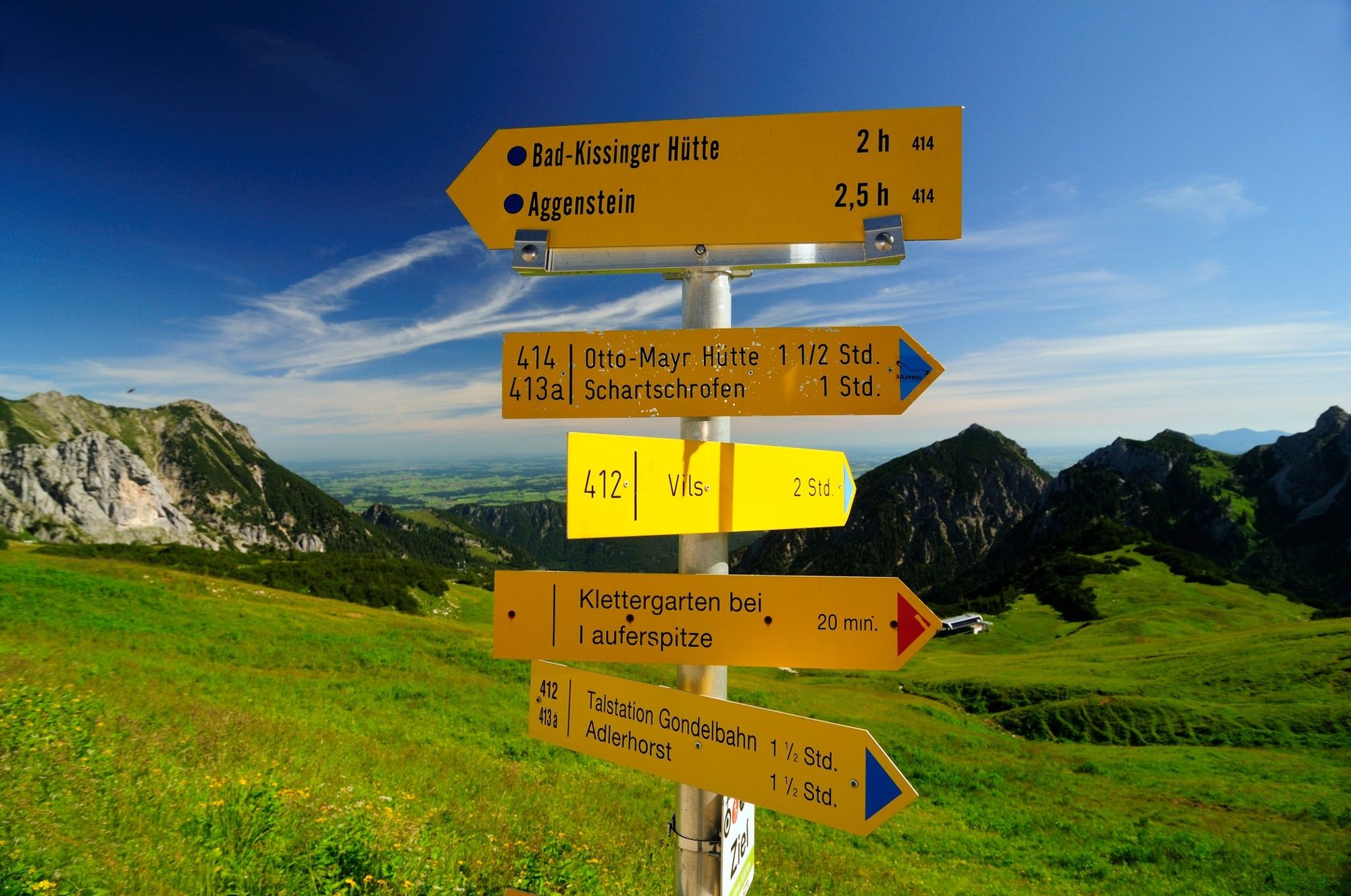
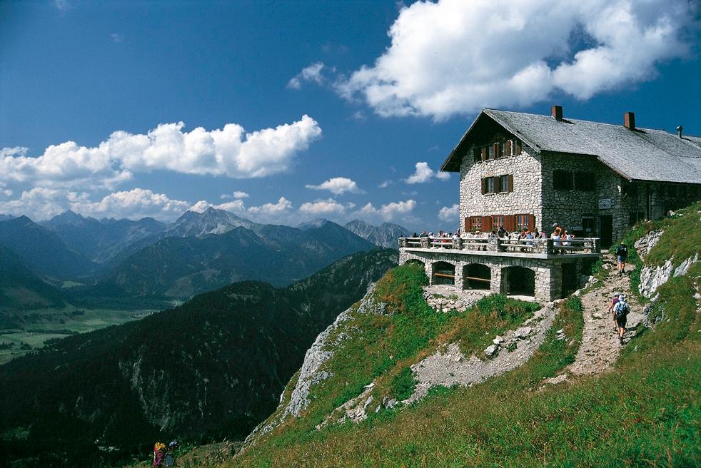
Enge0,2 kmBad Kissinger Hütte3,5 kmSebenalpe (1.640 m)5,5 kmGamskopf (1.890 m)7,0 kmJochalpe7,1 kmSonnenalm7,4 kmFüssener Jöchle7,5 kmFüssener Jöchle Talstation10,7 kmSt. Nepomuk-Kapelle11,6 kmLumberg12,2 kmBergblick12,3 kmEnge12,8 km
- La stagione migliore
-
genfebmaraprmaggiulugagosetottnovdic
- Punto più alto
- 1.890 m
- Destinazione
-
Parking Enge/Grän - Bad Kissinger Hütte
- Profilo altimetrico
-


- Autore
-
Il tour Gräner Höhenweg circular hike (awarded the Tyrolean mountain path quality seal) è utilizzato da outdooractive.com fornito.
GPS Downloads


Info generali
Punto di ristoro
Flora
Fauna
Promettente
Altri tour nelle regioni
-
Allgäu
2357
-
Tannheimer Tal
1454
-
Grän-Haldensee - Füssener Jöchle
567