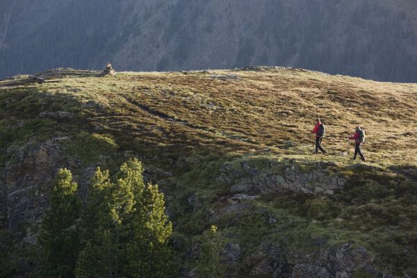
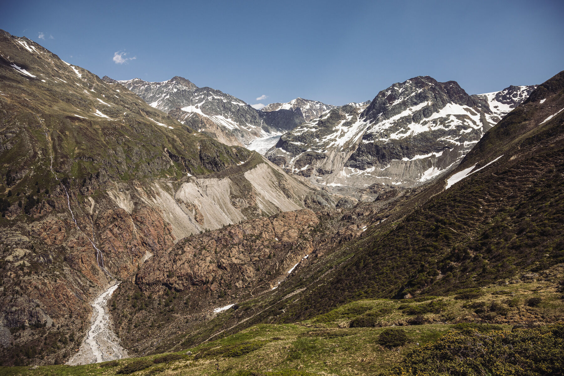
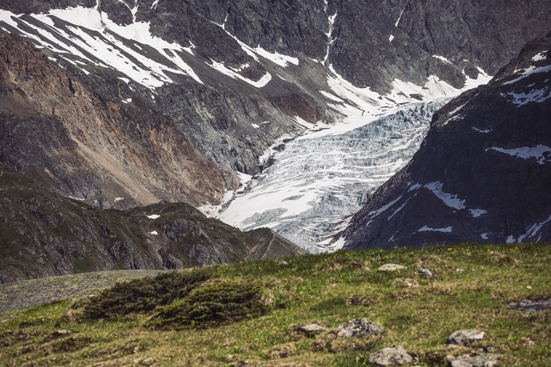
© TVB Tiroler Oberland | Severin Wegener

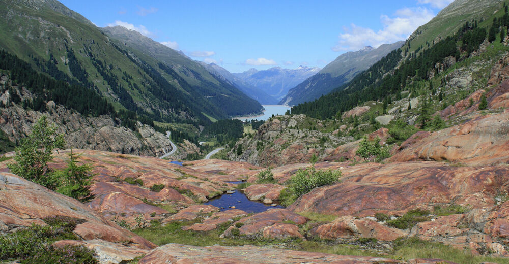
© TVB Tiroler Oberland | Severin Wegener

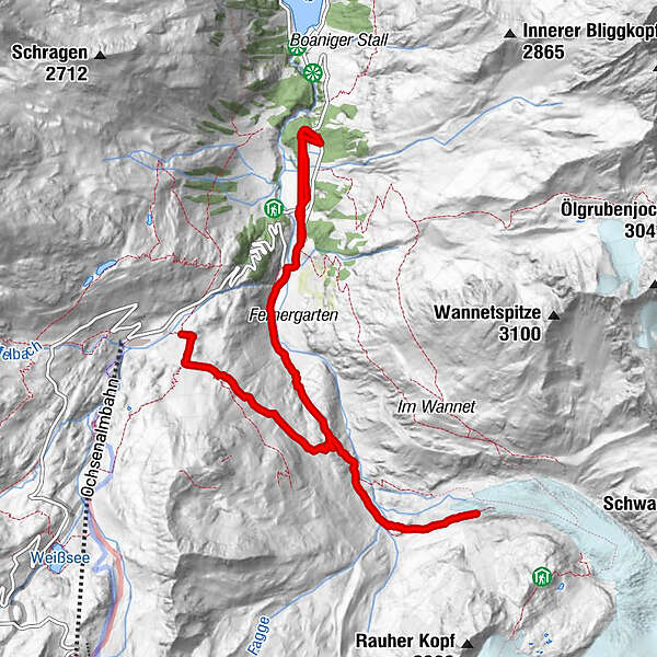
© TVB Tiroler Oberland | Severin Wegener
© TVB Tiroler Oberland | Susanne Larcher
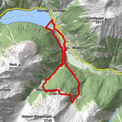
Dati percorsi
8,4km
1.891
- 2.285m
400hm
400hm
03:45h
- Difficoltà
-
intermedio
- Valutazione
-
- Punto di partenza
-
Parkplatz Ochsenalm
- Percorso
-
Kehre 246,9 kmGepatschhaus8,0 kmMaria Schnee8,4 km
- La stagione migliore
-
genfebmaraprmaggiulugagosetottnovdic
- Punto più alto
- 2.285 m
- Destinazione
-
Gepatschhaus
- Riposo/Ritiro
-
Gepatschhaus
- Cartine
-
Wanderkarte im Infobüro Kaunertal erhältlich


- Telefono informazioni
-
0043 50 225 200
- Link
- https://www.kaunertal.com/de/Ihr-Kaunertal/im-S...
- Fonte
- Kaunertal Tourismus
GPS Downloads


Altri tour nelle regioni
-
Vinschgau
1290
-
Tiroler Oberland
884
-
Kaunertaler Gletscher
109