Trail of senses Hochoetz

Logo Trail of senses Hochoetz
Dati percorsi
6,24km
1.905 - 2.268m
Distanz
359hm
365hm
L'ascesa
02:30h
 
Durata
Descrizione rapida

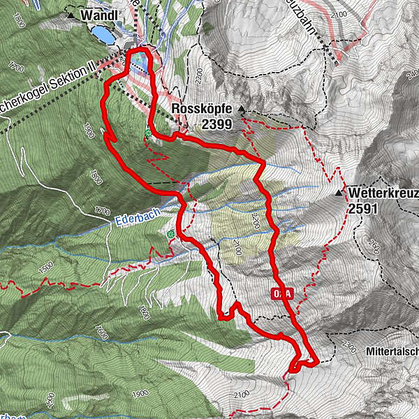
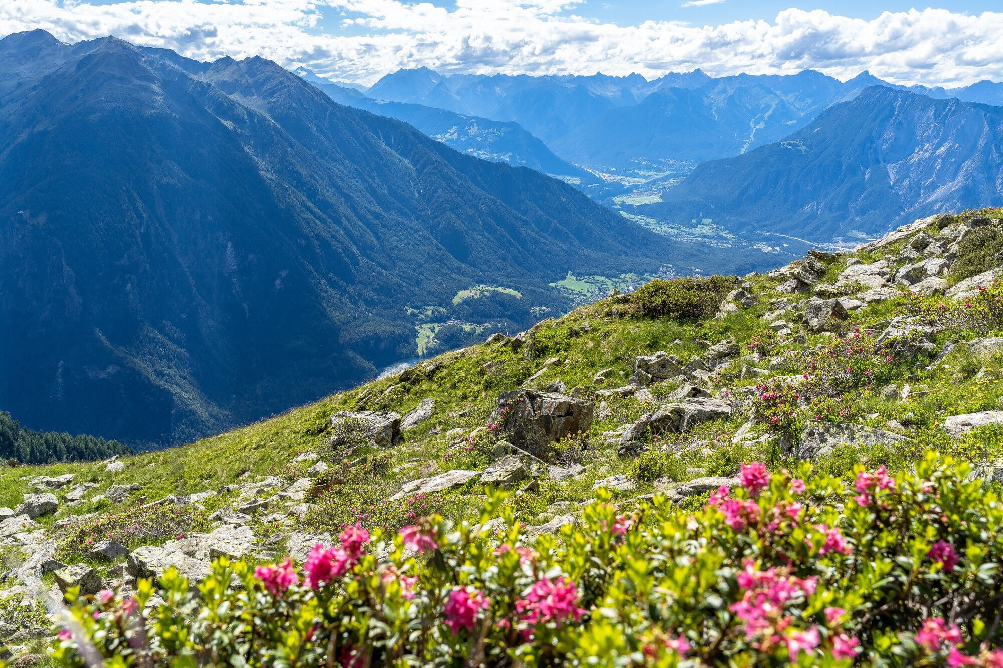
PANORAMARESTAURANT HOCHOETZ -> Bielefelder Hütte -> Alte Bielefelder Hütte -> Achergergalm -> PANORAMARESTAURANT HOCHOETZ

Difficoltà
intermedio
Valutazione
Tecnica
Forma fisica
Panorama
Avventura / Esperienza
Percorso
Acherkogelbahn Bergstation
Neue Bielefelder Hütte
0,5 km
Almwirtschaft Acherberg
4,6 km
Panorama-Restaurant
6,1 km
Acherkogel Sektion II
6,2 km
Acherkogelbahn Bergstation
6,2 km

La stagione migliore
gen
feb
mar
apr
mag
giu
lug
ago
set
ott
nov
dic
Punto più alto
2.268 m
Destinazione

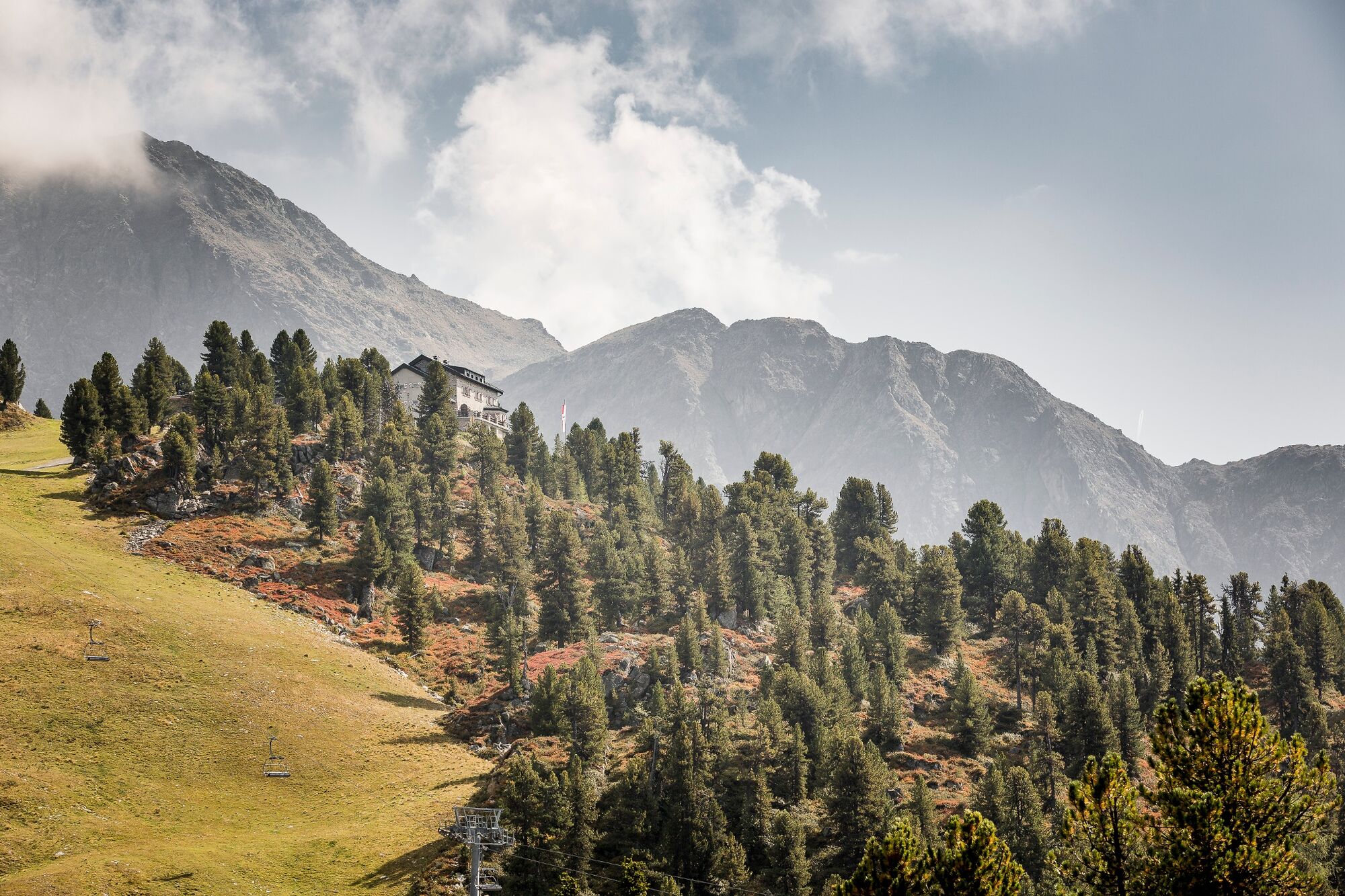
Panoramarestaurant Hochoetz

Profilo altimetrico

Autore
Il tour Trail of senses Hochoetz è utilizzato da outdooractive.com fornito.

Valutazione complessiva

5

0

%

4

0

%

3

0

%

2

0

%

1

0

%

Errore
Si è verificato un errore. Si prega di riprovare.
Grazie per la vostra recensione

La valutazione è stata cancellata

GPS Downloads
  • GPX GPS Exchange Format (XML)
  • KML Google Earth, Google Maps
Codici di download QR per telefoni cellulari

Info generali

Punto di ristoro
Culturale/Storico
Promettente
Altri tour nelle regioni

Tour popolari della zona

Abschnitt 4: Imst - Tarrenz

Sentiero tematico
7,1km | 269hm | 02:25h

Tauferberg forrest and Hoher Stein

facile Sentiero tematico
3,41km | 85hm | 02:00h

Abschnitt 7: Fernpass - Ehrwald

Sentiero tematico
13,82km | 217hm | 04:03h

Starkenberger Panoramaweg (Gesamt)

Sentiero tematico
69,83km | 2315hm | 22:47h