© Österreichs Wanderdörfer - Kitzbüheler Alpen Brixental
Dati percorsi
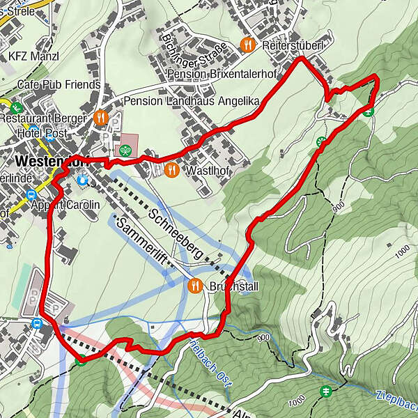
3,56km
782
- 874m
83hm
95hm
00:53h

Österreichs Wanderdörfer
- Descrizione rapida
-
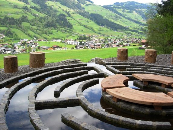
Der Wohlfühlweg ist für alle, die Berg, Wald und Natur für sich entdecken wollen.
- Difficoltà
-
facile
- Valutazione
-
- Percorso
-
Sandfang2,2 kmPfarrkirche zum Heiligen Nikolaus3,4 kmWestendorf3,5 km
- Punto più alto
- 874 m
- Destinazione
-
Tourismusverband Westendorf
- Profilo altimetrico
-

- Autore
-
Österreichs WanderdörferIl tour Westendorfer Wohlfühlweg è utilizzato da outdooractive.com fornito.
GPS Downloads


Altri tour nelle regioni
-
Kitzbüheler Alpen - Brixental
1760
-
Westendorf
449