© Ferienregion TirolWest - Zangerl Daniel
- Descrizione rapida
-
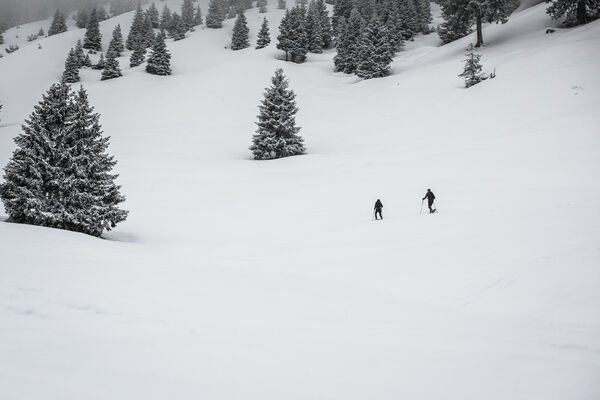
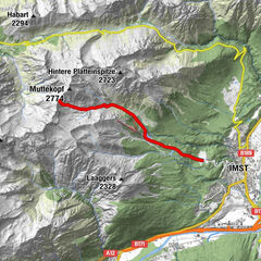
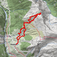
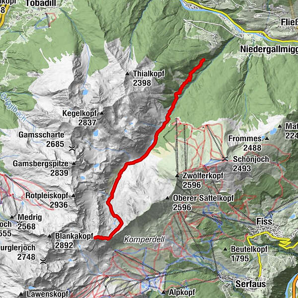
Von Hochgallmigg aus führt die Tour durchs Urgtal auf den Planskopf.
- Percorso
-
Landecker Schihütte2,8 kmPlanskopf (2.803 m)9,0 km
- Punto più alto
- 2.793 m
- Profilo altimetrico
-

- Autore
-
Il tour Hochgallmigg - Planskopf è utilizzato da outdooractive.com fornito.
GPS Downloads


Altri tour nelle regioni
-
Tirol West
37
-
Landeck
10