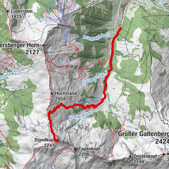

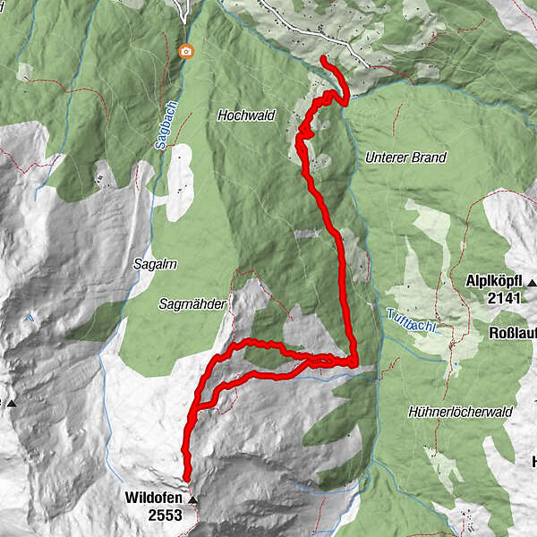
Dati percorsi
14,13km
1.110
- 2.529m
1.419hm
1.423hm
03:56h
- Descrizione rapida
-
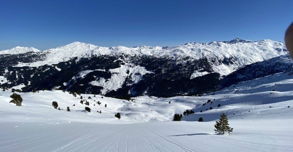
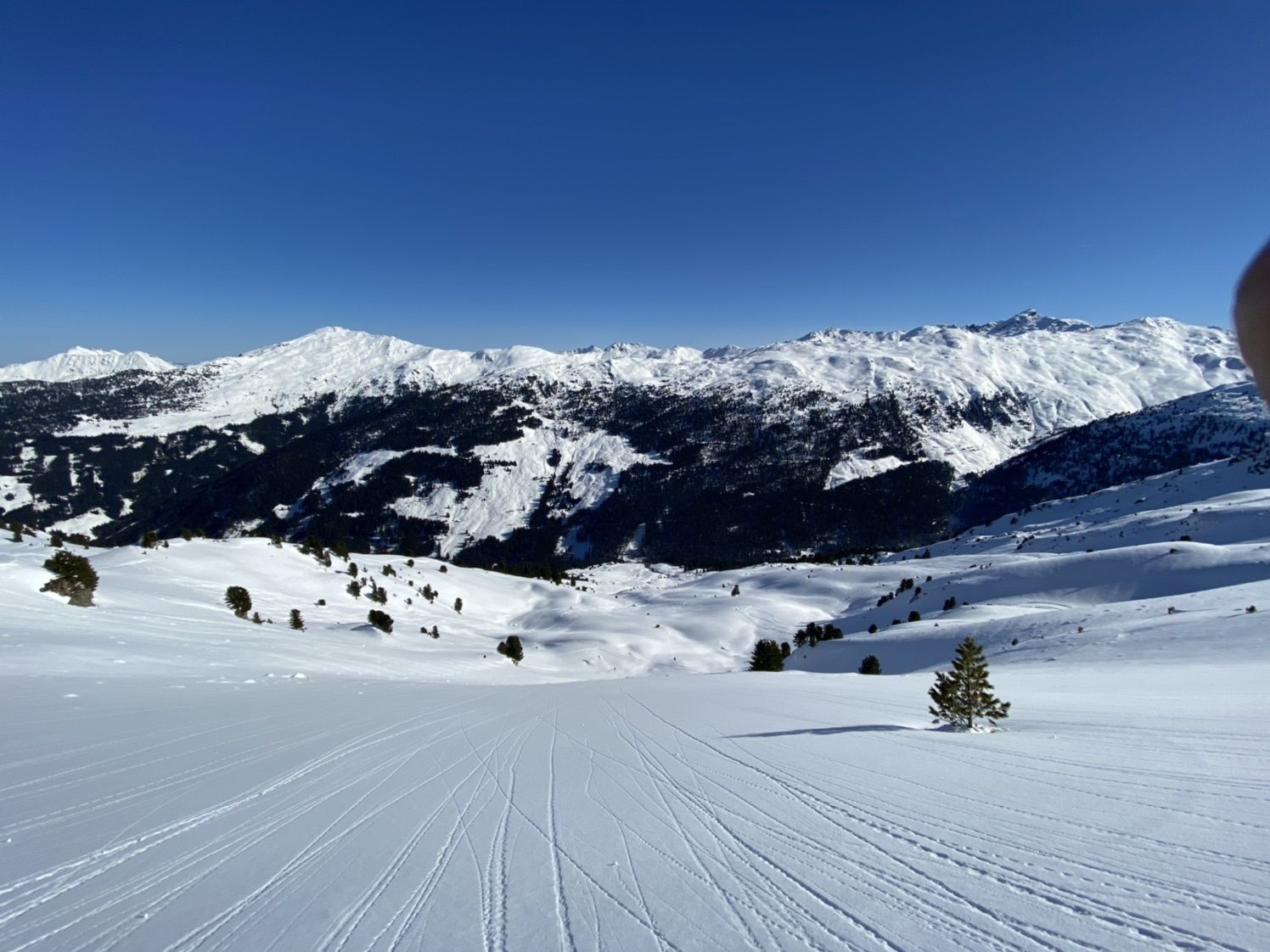
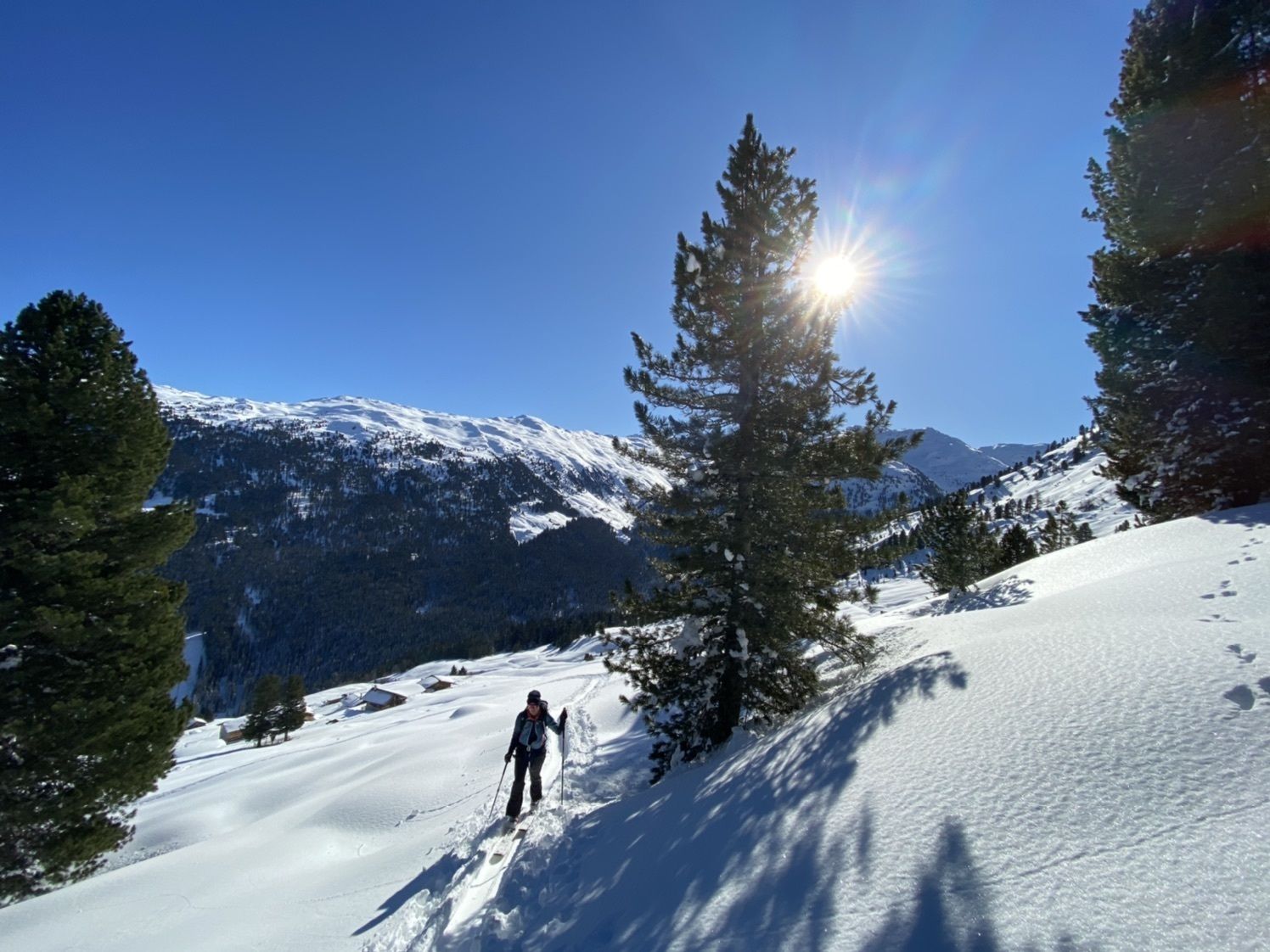
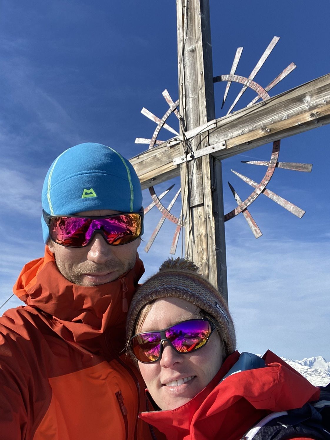
Schöne Tour mit langem Hatscher
- Difficoltà
-
intermedio
- Valutazione
-
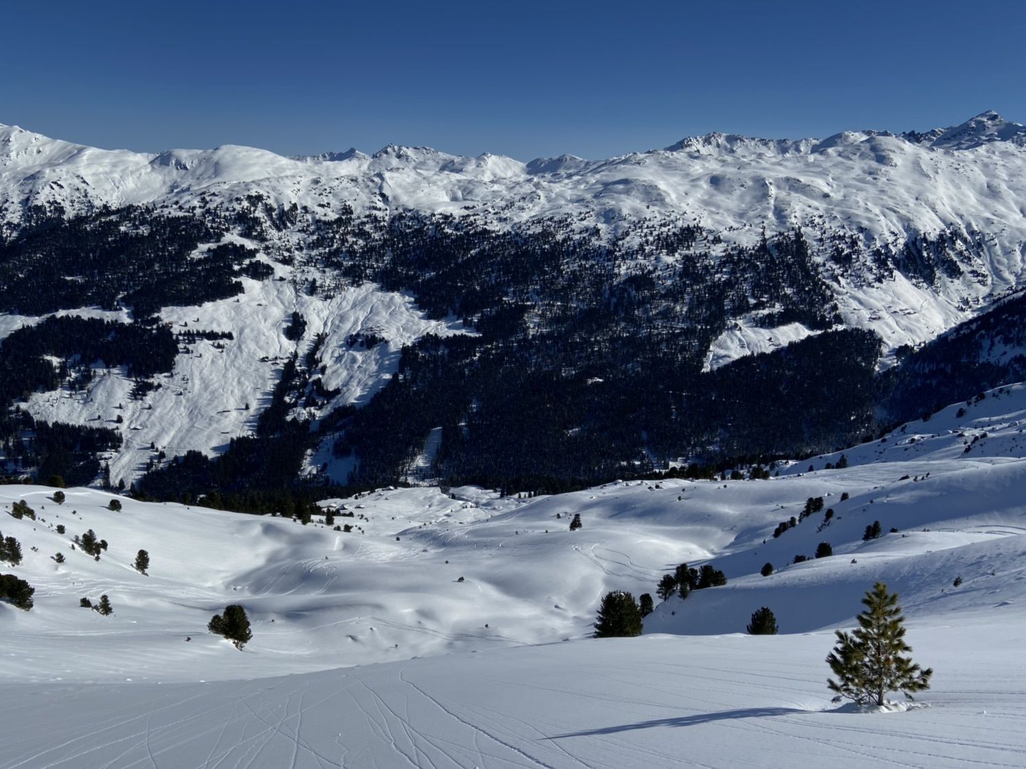
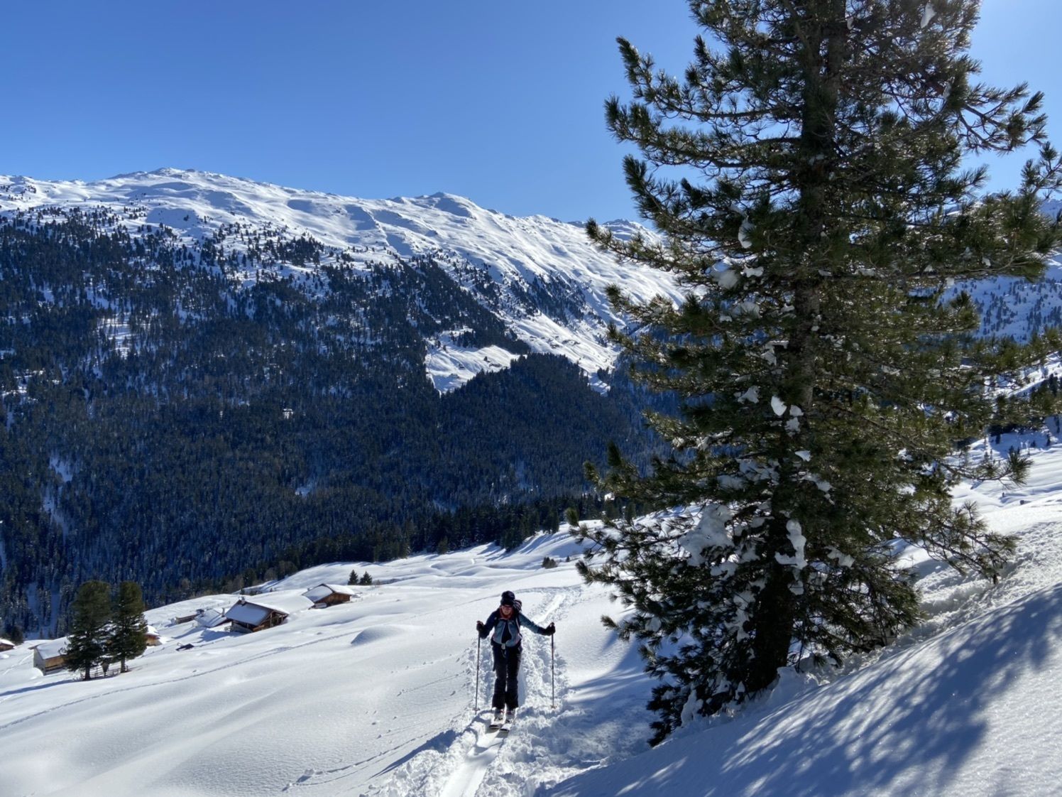
- Percorso
-
Tagetlahnalm4,0 km
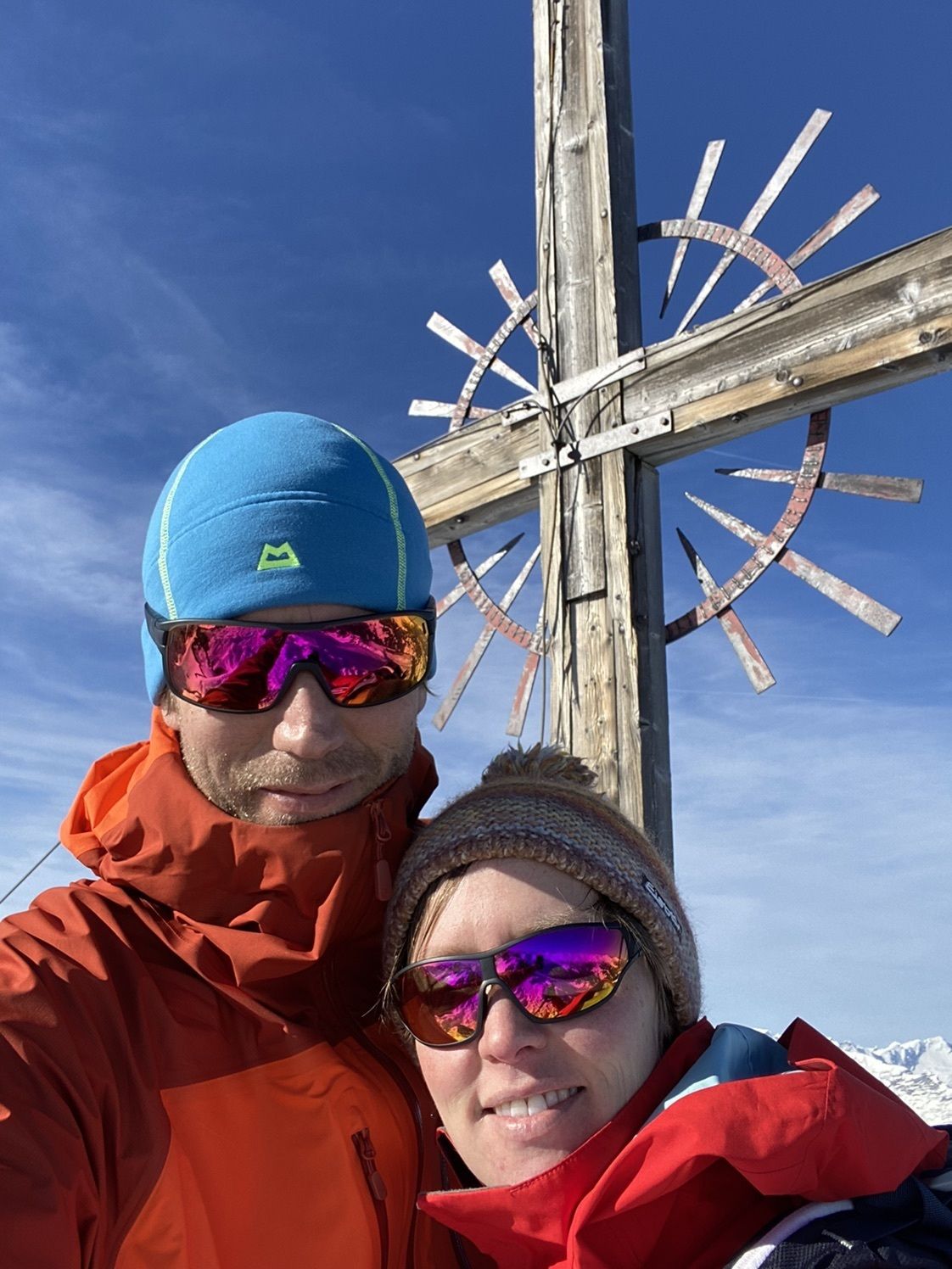
- Punto più alto
- 2.529 m
GPS Downloads


Altri tour nelle regioni
-
Tux - Finkenberg
132
-
Kolsassberg
56