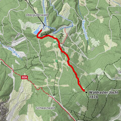
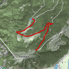
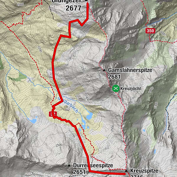
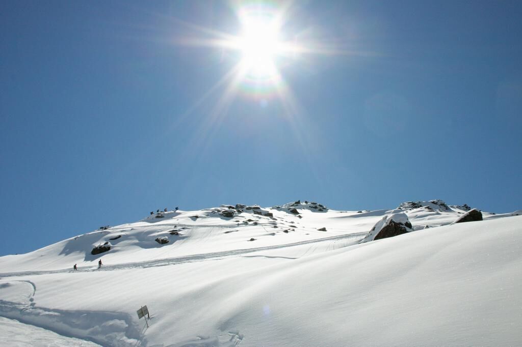
With snowshoes from the Glungezer to the Kreuzspitze

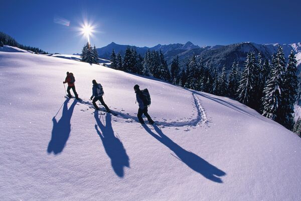
Ciaspole

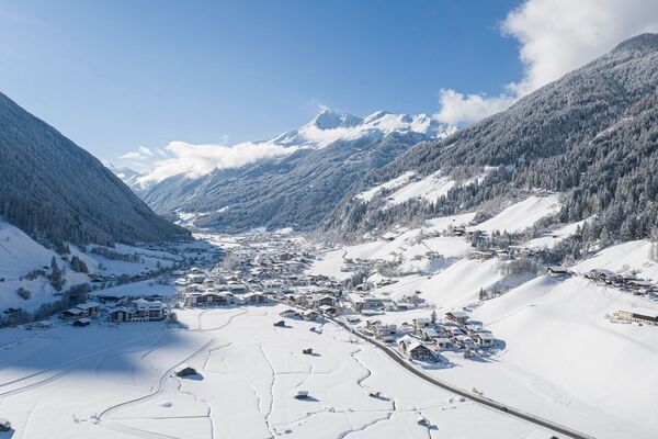
© Tourismusverband Region Hall-Wattens - Hall Wattens
- Descrizione rapida
-
Hm ↑ 600; ↓ 600 Hm, Gz 4 Std.
- Difficoltà
-
difficile
- Valutazione
-
- Percorso
-
Kreuzspitze (2.746 m)3,8 km
- La stagione migliore
-
agosetottnovdicgenfebmaraprmaggiulug
- Punto più alto
- 2.693 m
- Destinazione
-
Kreuzspitze
- Profilo altimetrico
-

-

-
AutoreIl tour With snowshoes from the Glungezer to the Kreuzspitze è utilizzato da outdooractive.com fornito.
GPS Downloads


Info generali
Suggerimento
Promettente
Altri tour nelle regioni