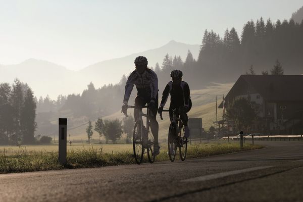
© Tannheimer Tal - Tourismusverband Tannheimer Tal

© Tannheimer Tal - Tourismusverband Tannheimer Tal

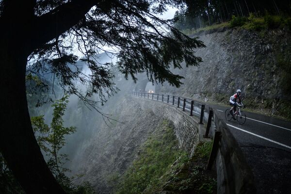
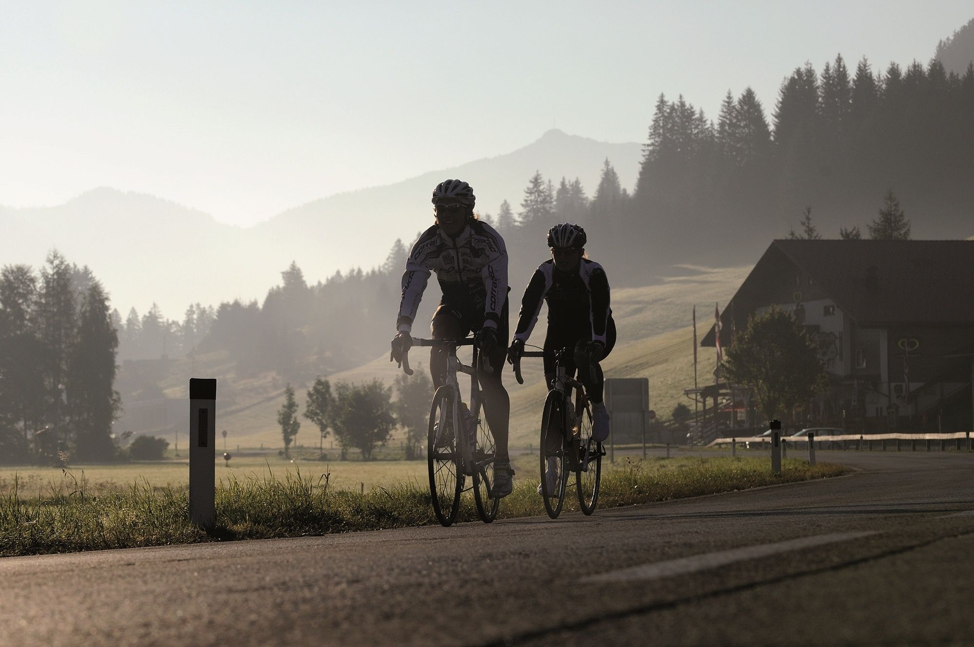
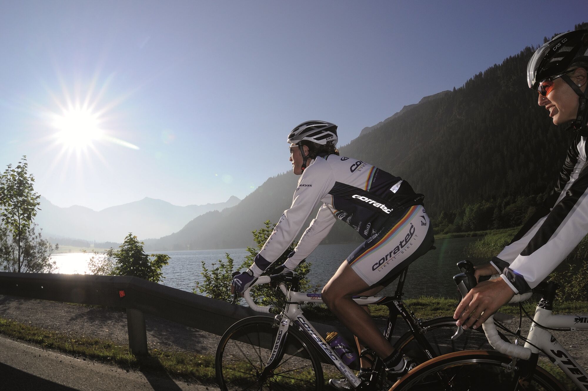
© Tannheimer Tal - Florian Müller

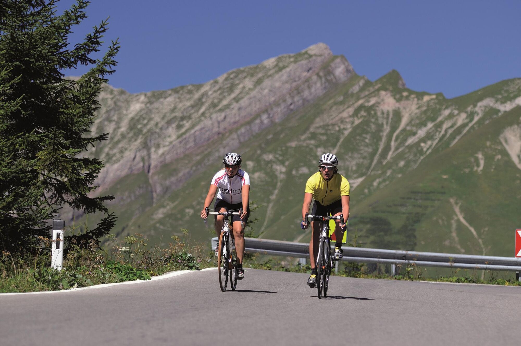
© Tannheimer Tal - Tourismusverband Tannheimr Tal

© Tannheimer Tal - Tourismusverband Tannheimer Tal

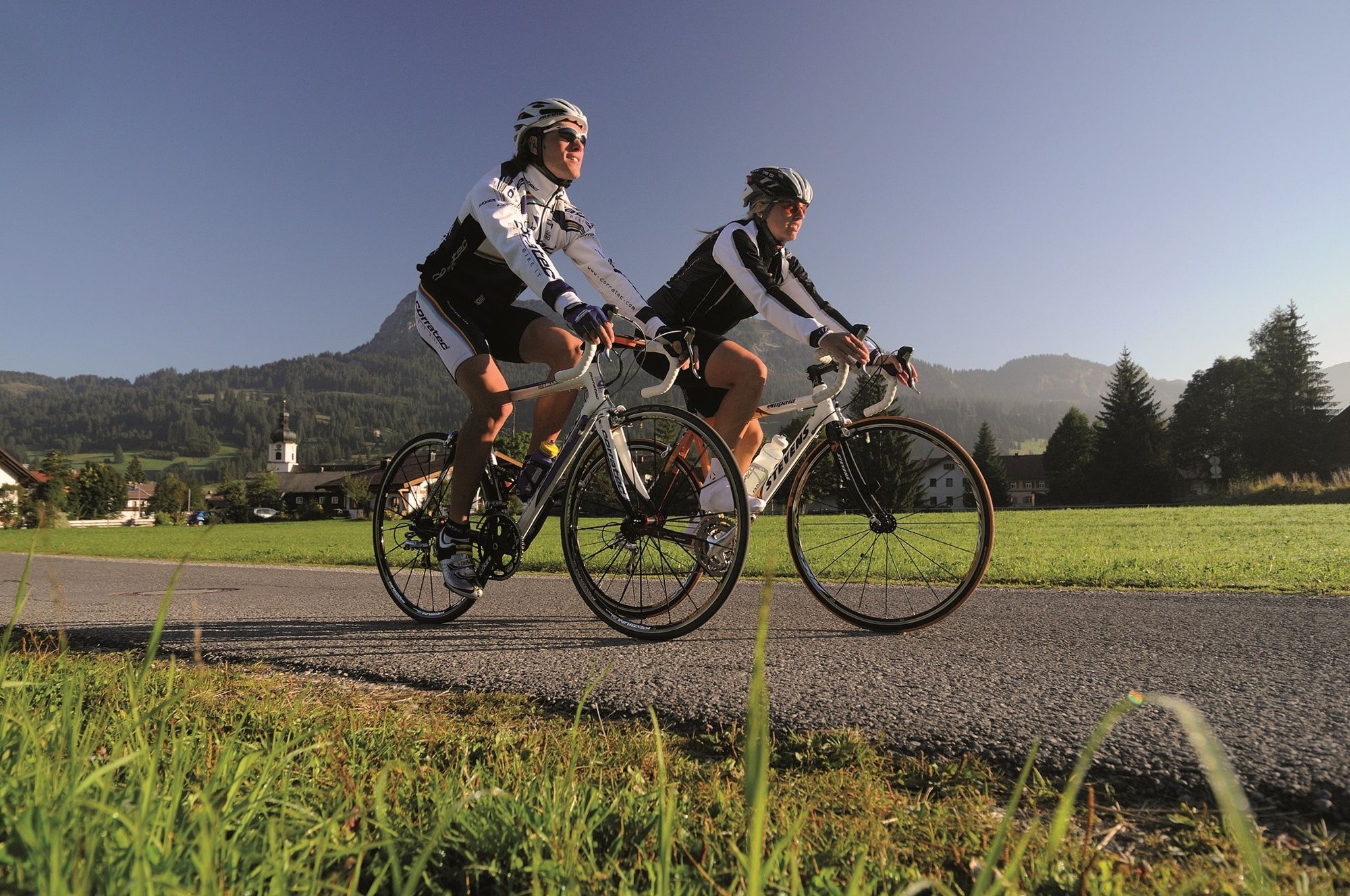
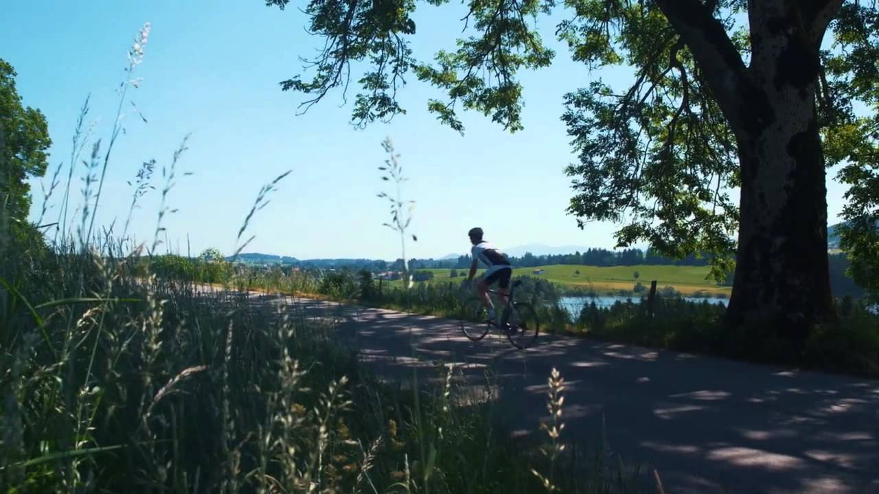
© Ferienregion Tannheimer Tal

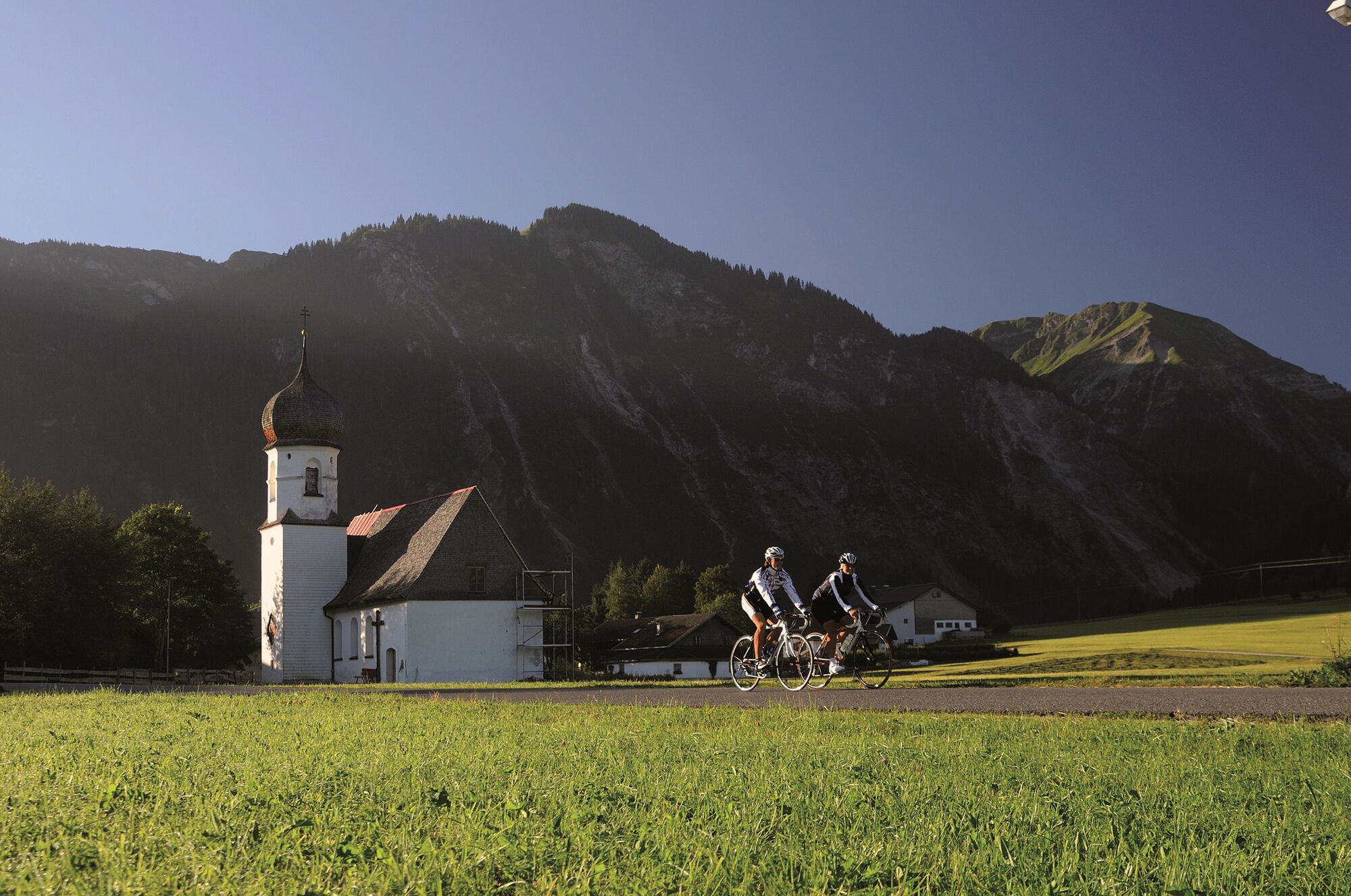
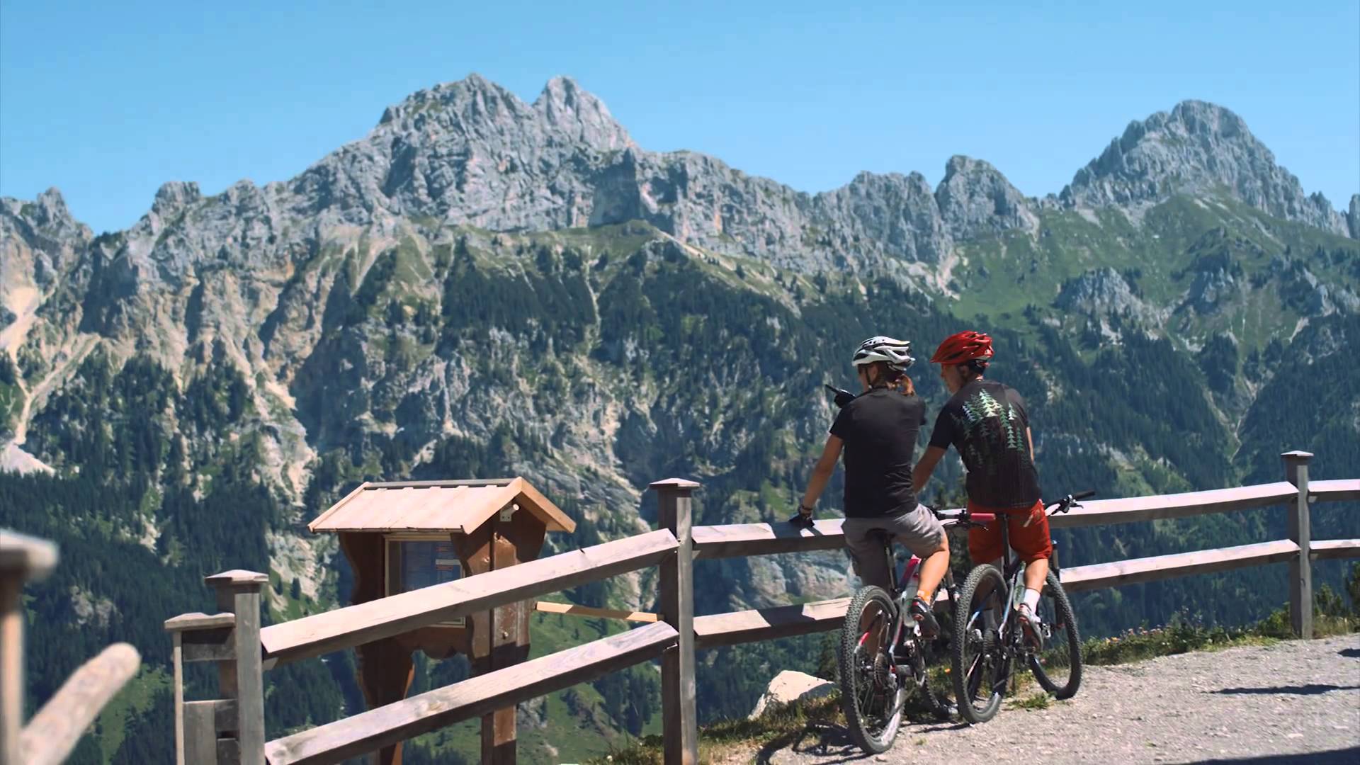
© Ferienregion Tannheimer Tal

© Ferienregion Tannheimer Tal

© Ferienregion Tannheimer Tal
- Descrizione rapida
-
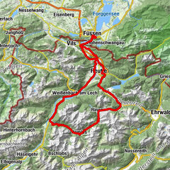
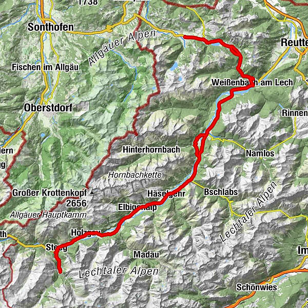
Fantastic route into the beautiful Lech valley, enjoy the fantastic landscape of the nature park region Tiroler Lech
- Difficoltà
-
intermedio
- Valutazione
-
- Percorso
-
Tannheim (1.097 m)0,0 kmSt. Jakobus3,2 kmHaldensee3,2 kmVia Salina Hotel am See5,0 kmSt. Johannes5,1 kmHaller5,2 kmSchmittekapelle6,0 kmSchmitte6,2 kmNesselwängle (1.136 m)7,3 kmMariahilf Kapelle9,0 kmGasthof Klausenstüberl9,9 kmStegmühlkapelle9,9 kmRauth10,0 kmWeißenbach am Lech (885 m)14,9 kmDorfkirche14,9 kmForchach (910 m)20,5 kmBlockau24,4 kmStanzach (940 m)25,2 kmPfarrkirche Stanzach25,3 kmGasthaus Post25,3 kmVorderhornbach (973 m)28,1 kmPfarrkirche Vorderhornbach28,2 kmGasthof Rose28,2 kmFilialkirche Martinau29,4 km14-Nothelfer Kapelle30,1 kmElmen (976 m)31,9 kmPfarrkirche St. Martin37,0 kmHäselgehr (1.006 m)37,5 kmGrießau39,9 kmElbigenalp (1.039 m)42,1 kmObergiblen45,0 kmGrüner Baum45,7 kmGasthof Post45,8 kmAntoniuskapelle46,6 kmUnterstockach47,3 kmStockach48,0 kmGasthof Alte Schule48,1 kmPfarrkirche Stockach48,1 kmBildstock Maria la Salette49,3 kmHolzgau (1.114 m)50,9 kmDürnau51,9 kmHotel Styrolerhof52,9 kmFriedhofskapelle54,2 kmSebastian-und-Rochus-Kirche54,2 kmGasthof Schwarzer Adler54,4 kmHotel Post55,5 kmSteeg (1.124 m)55,6 kmStearawirt's Hauserei55,7 kmDickenau55,8 kmGasthaus Alpenhof57,5 kmKienberg57,5 kmKaisers (1.518 m)59,6 kmKienberg61,8 kmGasthaus Alpenhof61,9 kmDickenau63,4 kmStearawirt's Hauserei63,6 kmSteeg (1.124 m)63,7 kmHotel Post63,8 kmGasthof Schwarzer Adler64,8 kmFriedhofskapelle65,0 kmSebastian-und-Rochus-Kirche65,1 kmHotel Styrolerhof66,3 kmDürnau67,0 kmHolzgau (1.114 m)68,2 kmBildstock Maria la Salette69,9 kmStockach71,0 kmPfarrkirche Stockach71,1 kmGasthof Alte Schule71,1 kmUnterstockach71,9 kmAntoniuskapelle72,6 kmGrüner Baum73,4 kmGasthof Post73,4 kmObergiblen74,2 kmElbigenalp (1.039 m)77,0 kmGrießau79,3 kmHäselgehr (1.006 m)81,6 kmPfarrkirche St. Martin82,1 kmElmen (976 m)87,2 km14-Nothelfer Kapelle89,0 kmStanzach (940 m)92,6 kmGasthaus Post92,6 kmPfarrkirche Stanzach92,7 kmBlockau93,4 kmForchach (910 m)97,2 kmWeißenbach am Lech (885 m)102,9 kmDorfkirche103,0 kmRauth107,8 kmStegmühlkapelle107,9 kmGasthof Klausenstüberl107,9 kmMariahilf Kapelle108,9 kmNesselwängle (1.136 m)110,3 kmGasthof Köllenspitze110,5 kmPfarrkirche Mariä Himmelfahrt110,6 kmSchmitte111,7 kmSchmittekapelle111,8 kmWasserscheide Vils/Lech (1.150 m)111,9 kmHaller112,8 kmSt. Johannes112,9 kmVia Salina Hotel am See113,0 kmHaldensee114,7 kmSt. Jakobus114,8 kmTannheim (1.097 m)118,0 km
- La stagione migliore
-
genfebmaraprmaggiulugagosetottnovdic
- Punto più alto
- 1.476 m
- Destinazione
-
Tannheim
- Profilo altimetrico
-


- Autore
-
Il tour Steeg-Kaisers è utilizzato da outdooractive.com fornito.
GPS Downloads


Info generali
Punto di ristoro
Flora
Fauna
Promettente
Altri tour nelle regioni
-
Lechtal
36
-
Hinterhornbach
13