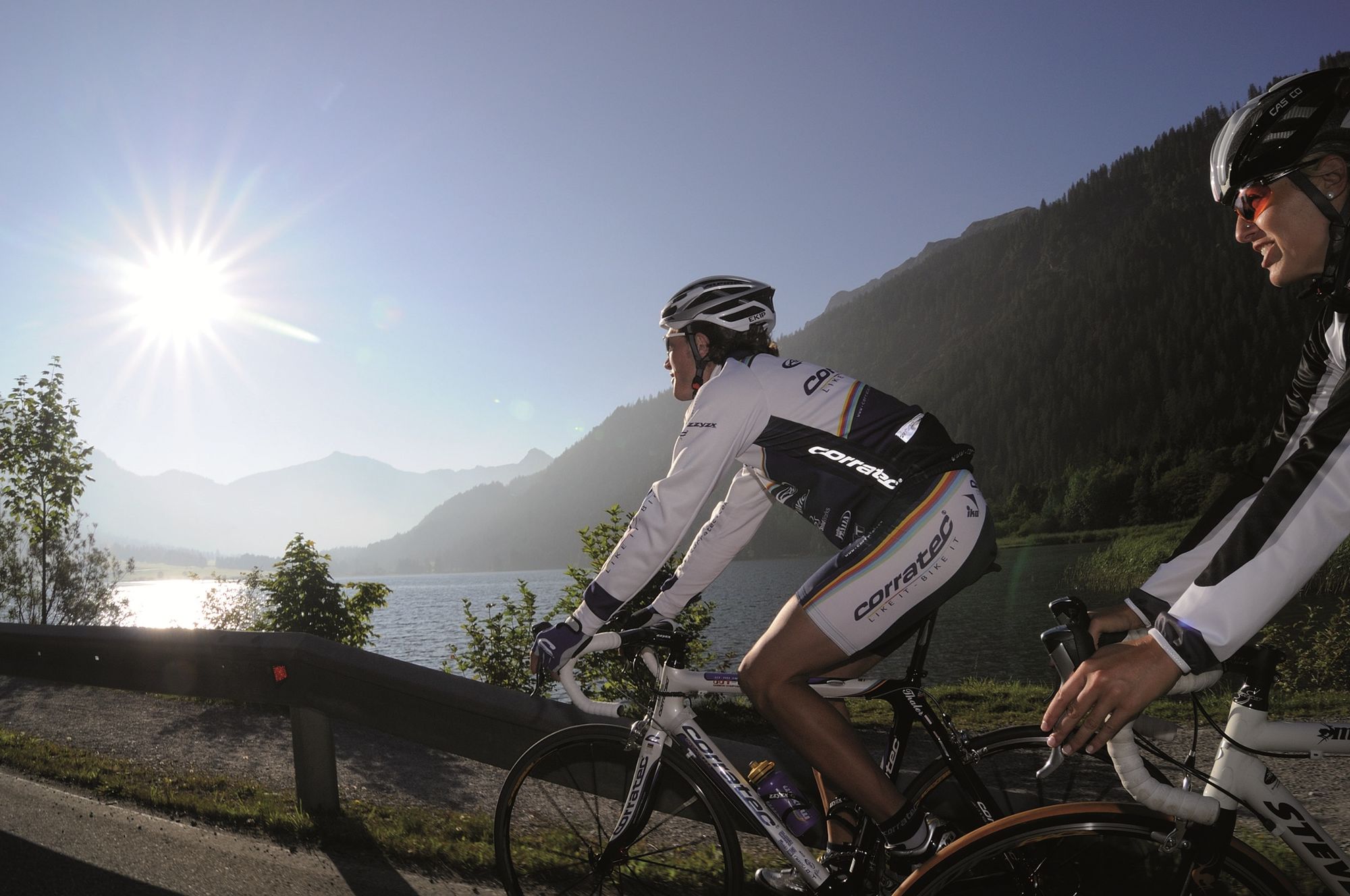
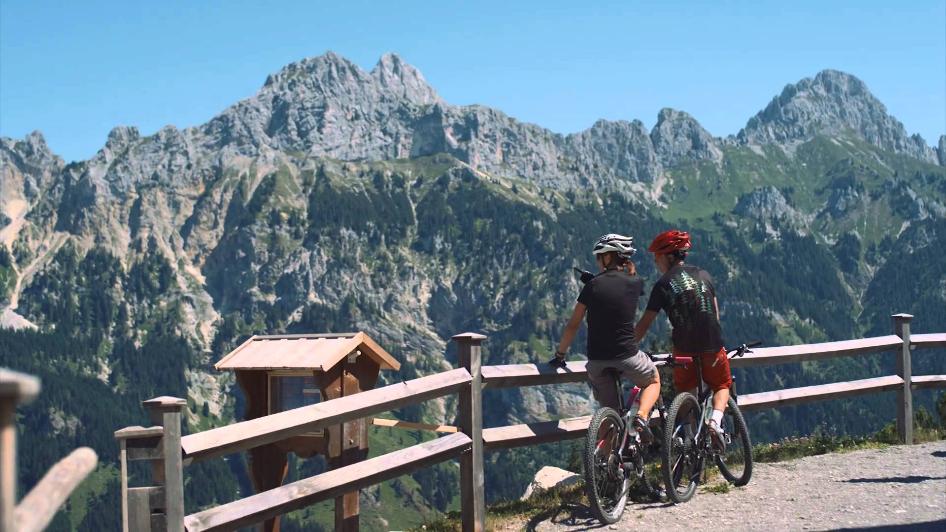
© Tannheimer Tal - Tourismusverband Tannheimer Tal

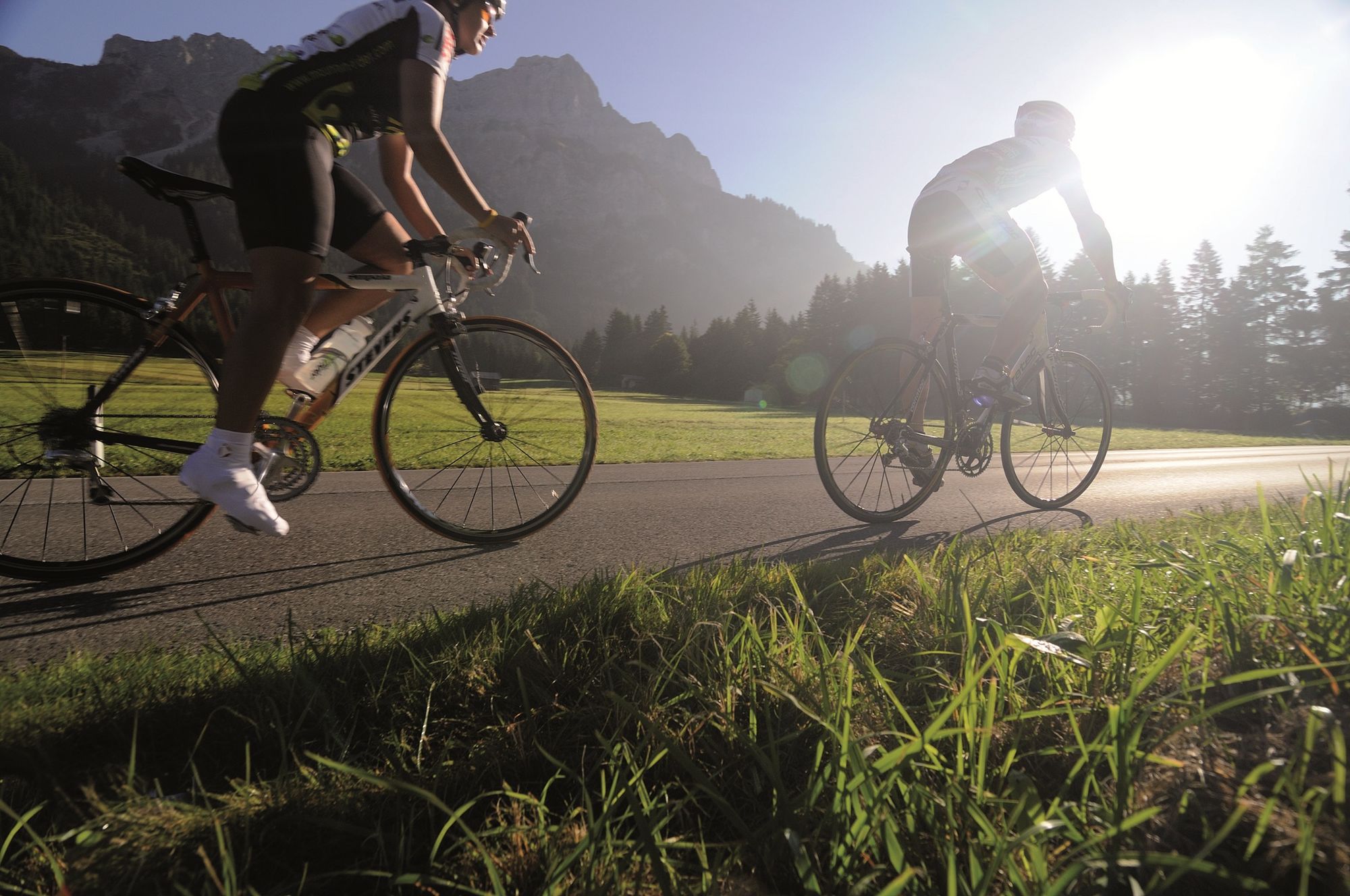
© Tannheimer Tal - Tourismusverband Tannheimer Tal

© Tannheimer Tal - Tourismusverband Tannheimer Tal

© Tannheimer Tal - Tourismusverband Tannheimer Tal

© Tannheimer Tal - Tourismusverband Tannheimer Tal

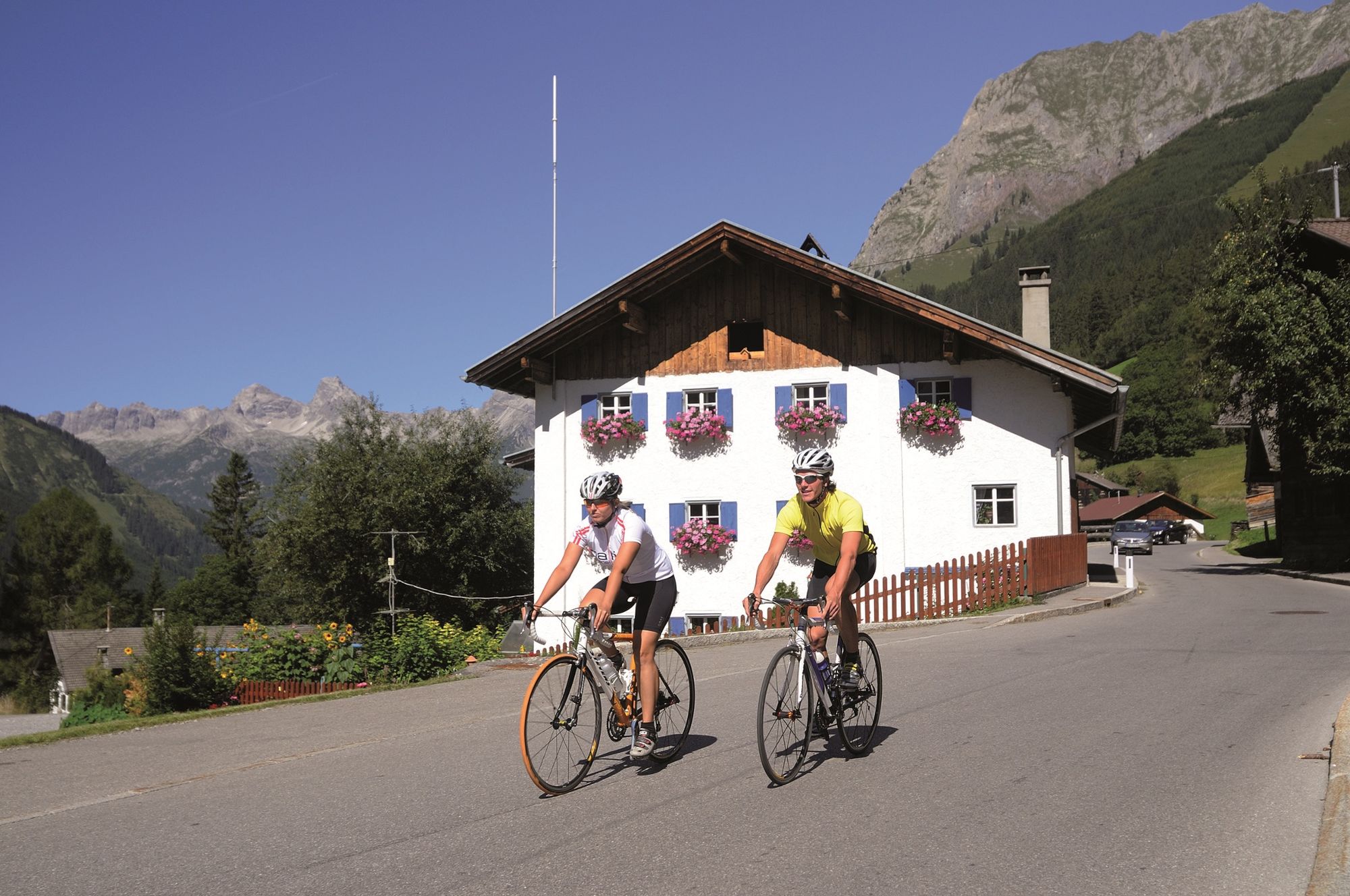
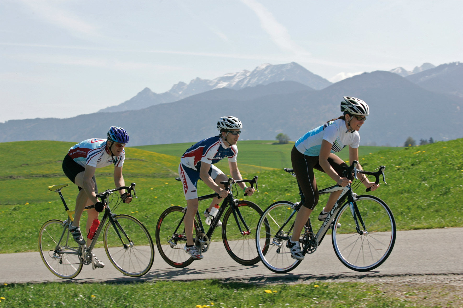
© Ferienregion Tannheimer Tal

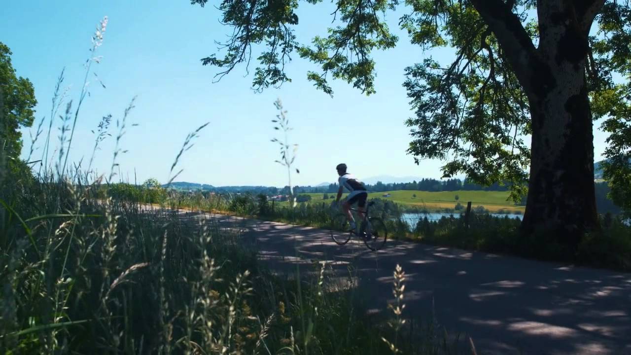
© Ferienregion Tannheimer Tal

© Ferienregion Tannheimer Tal

© Ferienregion Tannheimer Tal
- Descrizione rapida
-
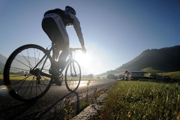
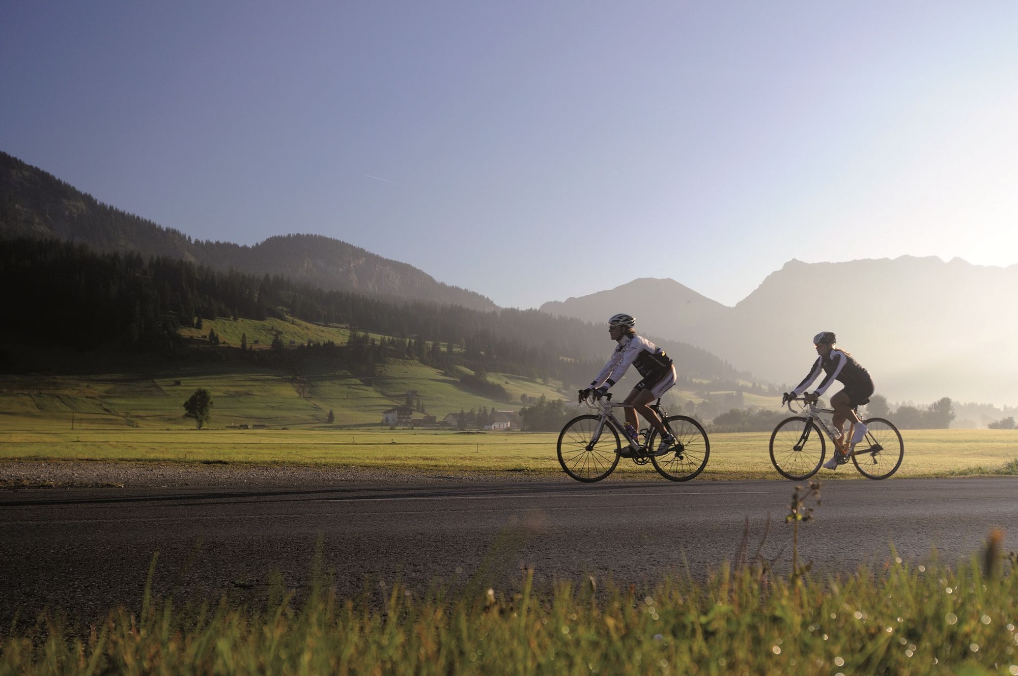
With about 1000 metres of altitude difference this tour is a bit more exhausting, but the landscape of the Tannheimer Tal as well as the Oberallgäu rewards you even more.
- Difficoltà
-
intermedio
- Valutazione
-
- Percorso
-
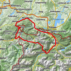
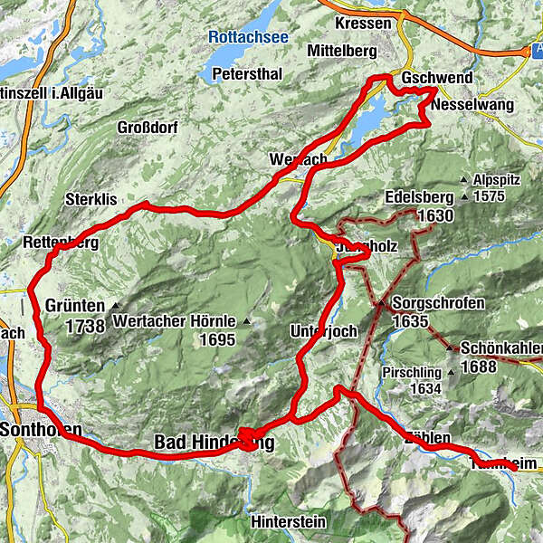
Tannheim (1.097 m)0,5 kmNeu Kienzen0,9 kmKienzen1,0 kmZöblen (1.087 m)3,8 kmSchattwald (1.072 m)4,9 kmSteig6,0 kmKaminstube9,2 kmOberjoch10,5 kmObergschwend13,0 kmUnterjoch14,2 kmMariä Himmelfahrt14,8 kmJungholz (1.054 m)18,7 kmPfarrkirche Mariä Namen18,7 kmLochbihler20,0 kmLochbiler20,3 kmEnthalb der Ach23,6 kmBuron Stadl26,9 kmWildbach-Alm29,5 kmReichenbach29,5 kmGschwend30,8 kmDohle31,7 kmHaslach32,6 kmWertach-Haslach32,8 kmWertacher Hof33,0 kmFaistenoy34,2 kmWendelinskapelle34,4 kmWertach38,4 kmKranzegg46,3 kmMarienkapelle46,6 kmKalchenbach48,2 kmRettenberg49,3 kmBrauereigasthof Adler-Post49,5 kmSt. Stephan49,6 kmBrauereigasthof Engel49,6 kmSt. Agatha52,7 kmGasthof zum Grüntenblick52,8 kmAgathazell52,8 kmBurgberg54,4 kmErzflöße55,9 kmSonthofen (741 m)56,9 kmBinswangen58,2 kmGasthof zur Linde58,3 kmKapelle St. Johannes Nepomuk58,4 kmTiefenbach59,9 kmReckenberg61,1 kmVorderhindelang62,3 kmBad Hindelang (825 m)63,6 kmBad Oberdorf65,3 kmKapelle St. Jakob70,3 kmHeilig Geist Kirche70,6 kmOberjoch70,7 kmOberes Dorf70,7 kmKaminstube72,1 kmSteig75,3 kmSchattwald (1.072 m)76,4 kmZöblen (1.087 m)77,5 kmKienzen79,9 kmNeu Kienzen80,1 kmTannheim (1.097 m)81,0 km
- La stagione migliore
-
genfebmaraprmaggiulugagosetottnovdic
- Punto più alto
- 1.174 m
- Destinazione
-
Tannheim
- Profilo altimetrico
-


- Autore
-
Il tour Grünten tour è utilizzato da outdooractive.com fornito.
GPS Downloads


Info generali
Punto di ristoro
Fauna
Promettente
Altri tour nelle regioni
-
Allgäu
65
-
Alpsee-Grünten
41
-
Jungholz
16